Description
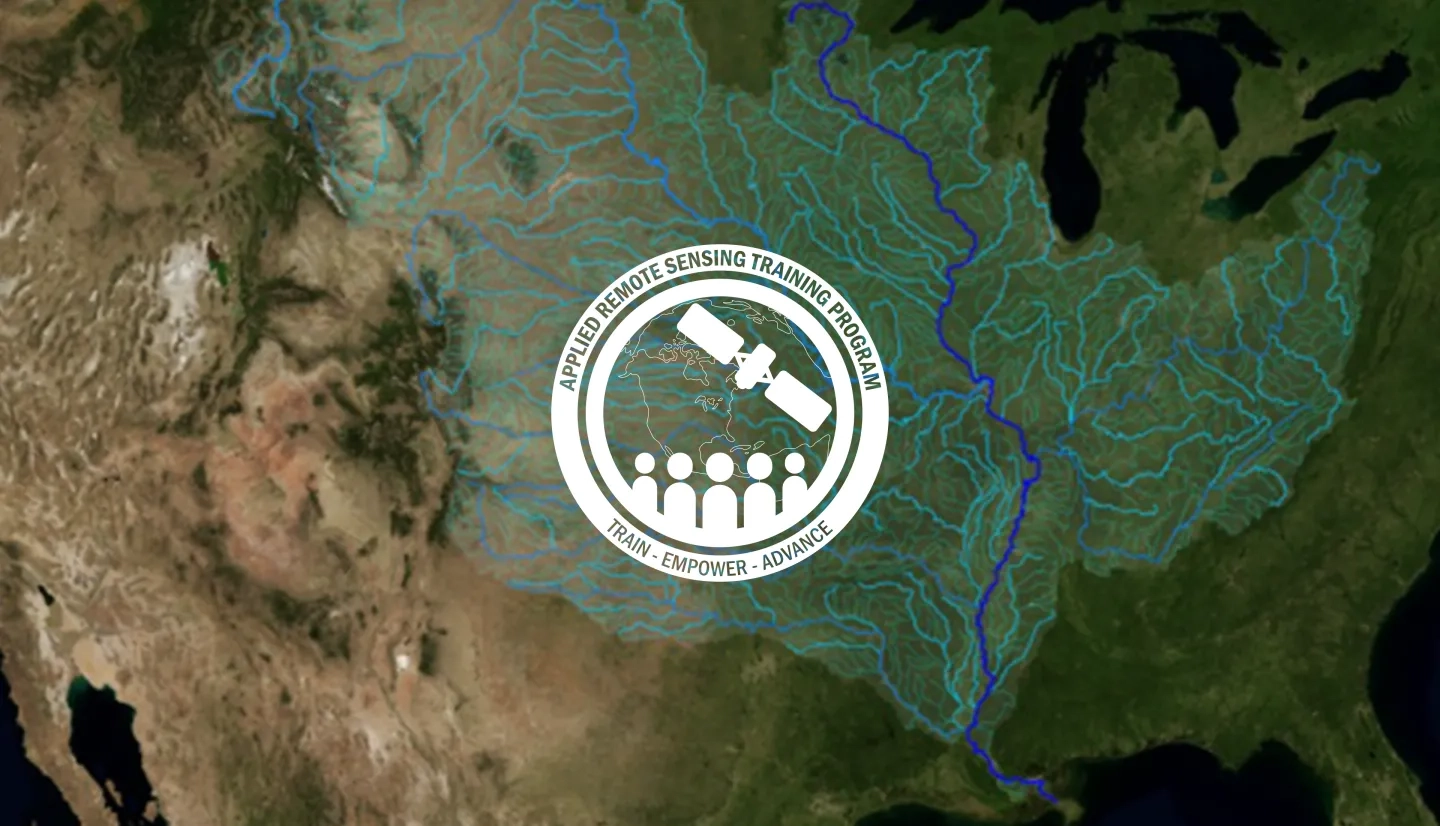
Rivers are a major source of freshwater. They support aquatic and terrestrial ecosystems, provide transportation, and generate hydropower. Managing river basin watersheds is critical for developing policies for sustainable water allocation and development. Over the course of four sessions, this introductory webinar series will address using satellite data and Earth system modeling data sources to estimate surface water budgets.
By the end of this training, attendees will become familiar with:
- Remote sensing and Earth system modeling data sources relevant for river basin watershed management
- Estimating surface water budgets and their temporal variability in sub-watersheds within river basins
The content of this training was developed for local, regional, state, federal, and international organizations engaged in the management of water resources, river basins, floods, droughts, land development, river transportation, hydroelectric power, and reservoirs.
- Four 1-hour sessions
This session will provide an overview of river basin monitoring and management, focusing on its importance and the approach. It will also cover an overview of remote sensing data sources relevant for river basin monitoring and management, and demonstrate data access.
Materials:
Materiales en Español:
This session will look at selected remote sensing studies of the Nile River Basin, including remotely sensed water balance analysis, the Nile Land Data Assimilation System, and wetland mapping and monitoring. Featuring guest speaker Benjamin Zaitchik.
Materials:
Materiales en Español:
This session will look at selected remote sensing studies of the Mekong River Basin. Featuring guest speaker John Bolten.
Materials:
Materiales en Español:
The final session will include a review of remote sensing data sources for surface water budget components, and run through estimating a water budget of a watershed using remote sensing components.
Materials:
Materiales en Español:


