Description
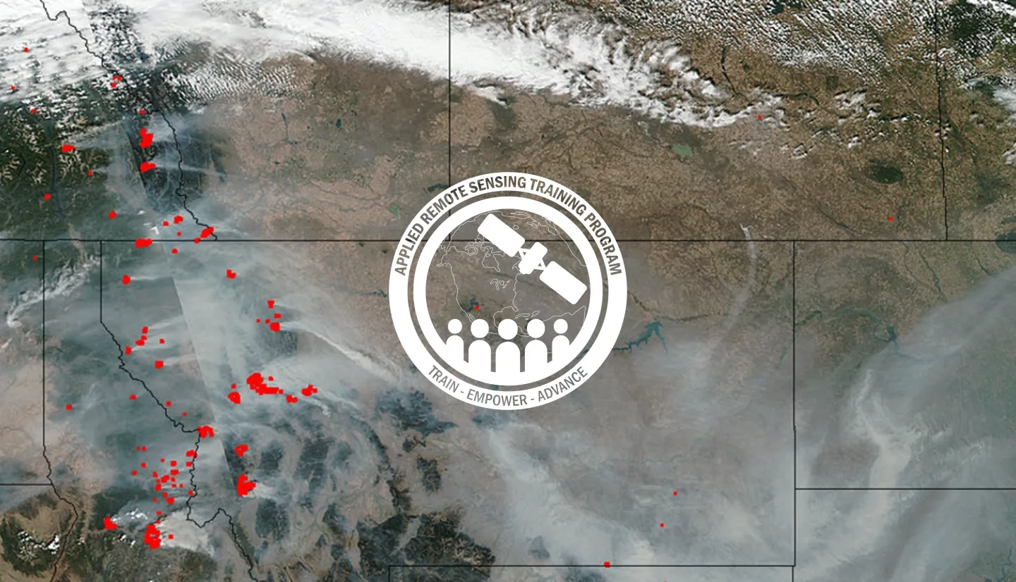
In August 2017, Washington state registered as having the worst air quality in the U.S. as a result of smoke1. Fires, smoke, and dust can all contribute to poor air quality that can affect vulnerable populations. NASA satellite data can be used to model, monitor, and track regional air quality. This training will help attendees become familiar with available satellite data, products, and tools, and how to apply them to identify, track, and measure an air quality event. This training is hosted in partnership with the U.S. EPA - Region 10, Seattle, WA, and the U.S. Forest Service, Pacific Northwest Research Station, Seattle, WA.
IT & Computer Requirements
Each participant must come with a laptop computer with the capability to connect to the internet using WiFi.
Necessary Software:
-
Microsoft Office (or similar software): Excel, Word, PowerPoint
-
Internet Browser: Chrome (preferred), Firefox, or Safari
-
Google Earth: free version available at: http://www.google.com/earth
-
Latest Version of Java: available from http://www.java.com/en/download/help/version_manual.xml
-
Adobe Reader (or similar software to open and read PDF files): Adobe Reader is available at: http://get.adobe.com/reader
-
Python 2.7
-
Panoply: available at: http://www.giss.nasa.gov/tools/panoply/
By the end of this training, attendees will be able to:
- Evaluate an air quality event in a case study, incorporating data portals, visualization tools, and satellite data
- Describe specific data products and online tools, as well as their applications, including data from MODIS, OMI, VIIRS, CALIPSO, GOES-16, Worldview, IDEA, and Giovanni
- Describe the strengths and weaknesses of the data products and tools discussed
This training is primarily intended for air quality professionals and decision makers from local, state, tribal, and federal agencies, NGOs, and the private sector.
- Registration and Logistics
- NASA ARSET Program Overview
- Satellite Imagery Access, Interpretation, and Tools for Dust, Smoke, and Pollution Monitoring
- Fundamentals of Remote Sensing
- Satellite-Based Fire Products: Methods, Data, Access, and Applications
- Smoke Monitoring from Space
- Aerosol Observations from Satellites: Brief Theory & Existing Products
- Near Real-Time Data Access: Images, Figures, and Aerosols
- Remote Sensing of Trace Gases and Products
- Validation and Evaluation of Satellite-Derived AOD
- Theoretical Basis for Converting Satellite Observations to Ground-Level PM2.5 Concentrations
- Conversion of Satellite Aerosol Measurements to PM2.5 Air Quality
- Satellite Based PM2.5 Datasets and Access
- Aerosol Products from Geostationary Satellites
- Overview of CALIPSO and CATS
- Air Quality Forecasting and MERRA-2 Reanalysis
- Additional Tools & Resources for Case Studies
- Case Study Analysis in Groups
- Case Study Presentations and Discussion
Download All Relevant Files and Data »


