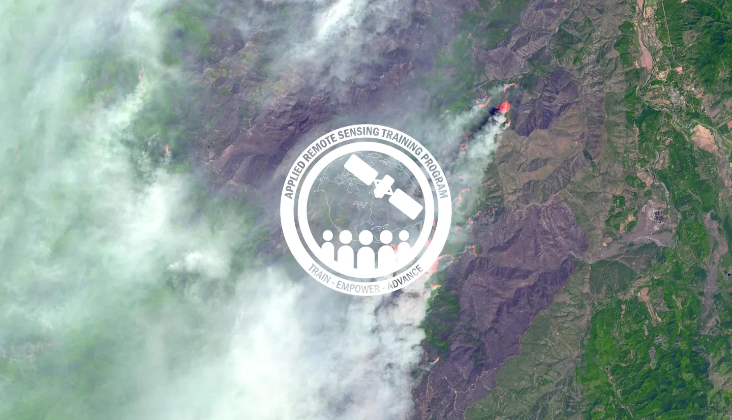
Description
Record breaking fire seasons, like those we saw in California in 2020, demonstrate how climate change influences the risk and severity of fires on a global scale. Climate change impacts can increase fire frequency, disrupt historical fire regimes, and contribute to increases in fire intensity and burn severity. Therefore, assessments of fire risk and post-fire mapping and monitoring are vital for effective management and decision-making. This training will consist of two sessions with hands-on-exercises and “lab time,” where participants will complete exercises with instructors online to answer questions as they come up. During the first session, we will review pre-fire risk assessment by investigating land surface variables (e.g., vegetation type and height, fuel regimes, fuel moisture, and topography) and climate variables (e.g., temperature and precipitation). In the second session, we will conduct post-fire mapping of burned area and burn severity using vegetation indices such as the Normalized Burn Ratio (NBR). Methods will include the use of open-source tools, such as Google Earth Engine and NASA-supported platforms such as the SERVIR Global Service Catalog for analyzing imagery.
Before attending this training, we highly recommend you create a Google Earth Engine (GEE) account so you can be fully engaged with the exercises and demonstrations. Please note that our instructors may not be able to troubleshoot your individual code.
By the end of the training attendees will be able to:
- Identify land cover and climate variables related to wildfire risk
- Access and display geospatial wildfire risk data layers
- Create a burn severity map using satellite imagery
- Calculate burned area using satellite imagery
Local, regional, state, federal, and non-governmental organizations involved in land management, fire risk assessment, and post-fire landscape evaluation. Applied scientists and GIS professionals interested in learning how to complete fire-related assessments independently.
- Review of pre-fire biophysical and climatic conditions
- Highlights of pre-fire data and tools such as LANDFIRE, NASA’s Global Fire Weather Database, The Global Wildfire Information System (GWIS), and the Global SERVIR Service Catalog
- Hands-on-exercise: Monitoring Pre-fire conditions
- Q&A
- Lab Time
Materials:
- Review of fire intensity, burn severity, the Normalized Burn Ratio (NBR), and the Differenced Normalized Burn Ratio (dNBR)
- Highlights of post-fire data and tools such as LANDFIRE, GWIS, and Monitoring Trends in Burn Severity (MTBS)
- Hands-on-exercise: Mapping Post-fire conditions in Google Earth Engine
- Q&A
- Lab Time
Materials:


