These imagery were developed and shared with emergency response organizations as part of the NASA Disasters Response Coordination System activation for the Southern California wildfires in January, 2025.
Click here to learn more about NASA's response for this event.

This false-color image shows burned areas in Altadena, CA, from NASA's AVIRIS-3 instrument. The data were gathered during NASA flights surveying the region on Jan. 10 and 16, 2025, in support of local response efforts. Credit: NASA Disasters Program, NASA's Jet Propulsion Laboratory

Researchers used Copernicus Sentinel-1 synthetic aperture radar (SAR) data to model building damage in Altadena, CA, from the Southern California fires. The damage model was combined with fire perimeter data and public infrastructure data to generate an interactive map, which aided the humanitarian organization DirectRelief in identifying potential damage to healthcare facilities. Credits: DirectRelief, Jamon Van Den Hoek (Oregon State University), Microsoft, RxResponse, Bureau of Primary Health Care
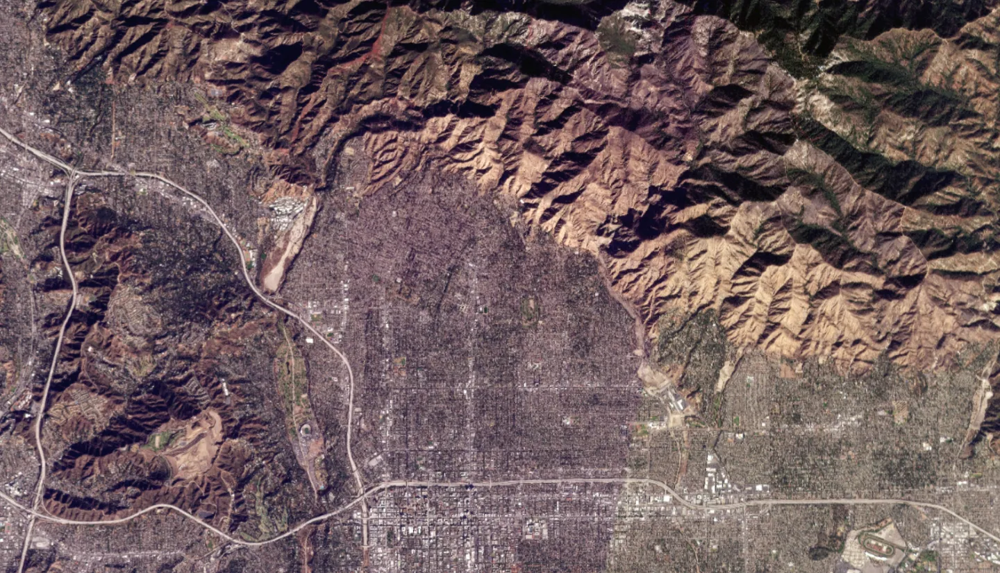
 This true-color image from Planet Labs satellites shows burned areas in Altadena, CA, on Jan. 21, 2025. The imagery was provided as part of NASA's Commercial Satellite Data Acquisition Program (CSDA). Credit: NASA Disasters Program, Includes copyrighted material of Planet Labs PBC. All rights reserved.


