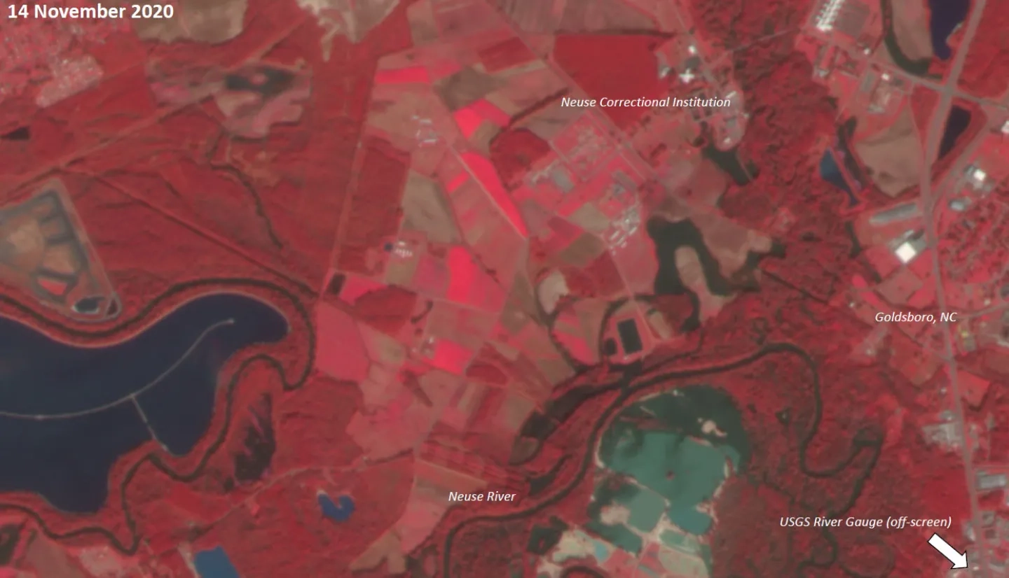
In mid-November 2020, heavy rainfall in central North Carolina caused floods throughout the region, with Wayne County experiencing river flooding and road closures. Gauges in the Neuse River reported water heights up to 25 feet on November 17th, well above the National Weather Service floodstage level for that river of 18 feet.

Representatives from the North Carolina Department of Public Safety reached out to the NASA Earth Applied Sciences Disasters Program to understand how NASA researchers can use remote sensing to help address questions of floodwater extent in the region. The state of North Carolina has extensive flood monitoring capabilities, and utilizes Geographic Information Systems (GIS) technology for mapping and tracking floods, which allows for easy sharing of data among partners and stakeholders.
Using optical imagery from commercial Planet Labs satellites and the European Space Agency (ESA) Copernicus Sentinel-2A satellite, the Disasters Program generated several false-color maps of the region in the days leading up to the peak flood heights to demonstrate the capabilities of remote sensing for flood detection. These maps can be used to determine the likely extent of the flood waters and where buildings and roads may have been impacted.
The Disasters Program plans to continue working with the state of North Carolina to compliment and enhance their flood monitoring capabilities using remote sensing, and to continue improving their collaborative relationship.


