Imagen
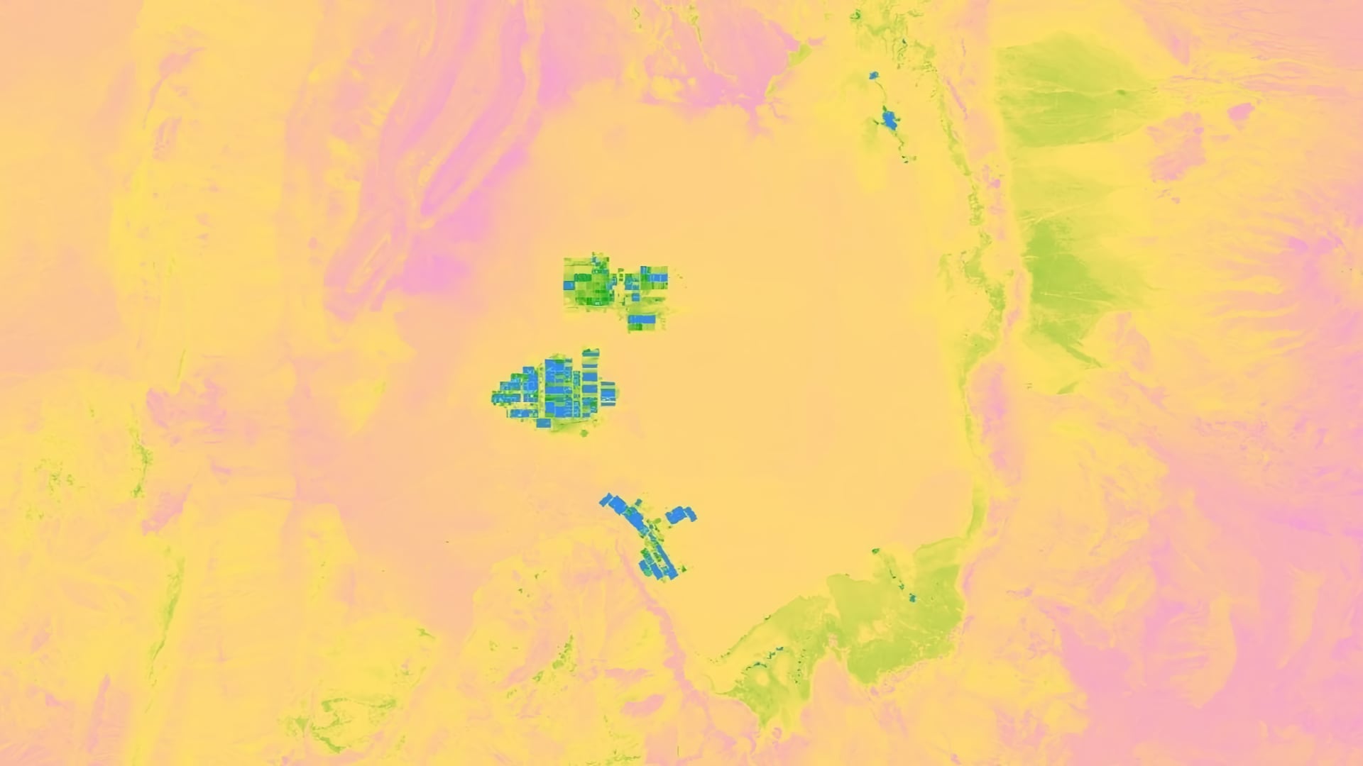
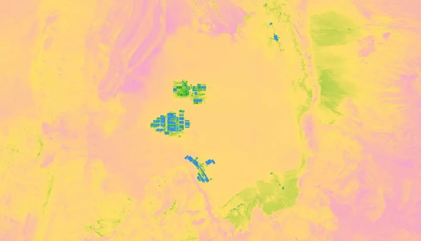
Saline systems, consisting of salt flats, ponds, and marshes, provide vital water resources to northern Chile’s Atacama Desert, one of the driest regions in the world. Mining is extensive in the Atacama, which contains 30% of the world’s lithium reserves and is abundant in potassium and boron. The groundwater that feeds into salt marshes and ponds is extracted in large volumes for mining operations, limiting the availability of water for local indigenous communities and ecosystems. The Chile Water Resources team at NASA Ames Research Center, in collaboration with la Universidad de La Serena, partnered with Servicio Nacional de Geología y Minería (SERNAGEOMIN), a Chilean national agency, to create a Saline Analysis Tool (SalT) in Google Earth Engine (GEE) to monitor the extent and distribution of these remote saline systems. The tool incorporates Earth observations from Landsat 5 Thematic Mapper (TM), Landsat 8 Operational Land Imager (OLI), Landsat 8 Thermal Infrared Sensor (TIRS), and Shuttle Radar Topography Mission (SRTM). SalT outputs include a land classification map for each year and charts displaying how Normalized Difference Vegetation Index (NDVI) and Normalized Difference Water Index (NDWI) have changed over the study period. The tool was used to analyze changes in the Atacama from 1986 to 2018, and outputs were compared to precipitation and temperature data for the final analysis. The ability to visualize how these saline systems have changed over time will help SERNAGEOMIN understand the regional impacts of mining operations and changes in climate.