Maine Ecological Forecasting III (Summer 2022)
Team: Jonathan Falciani (Project Lead), Colin Hogan, Linda Mitchell, Makario Sarsozo
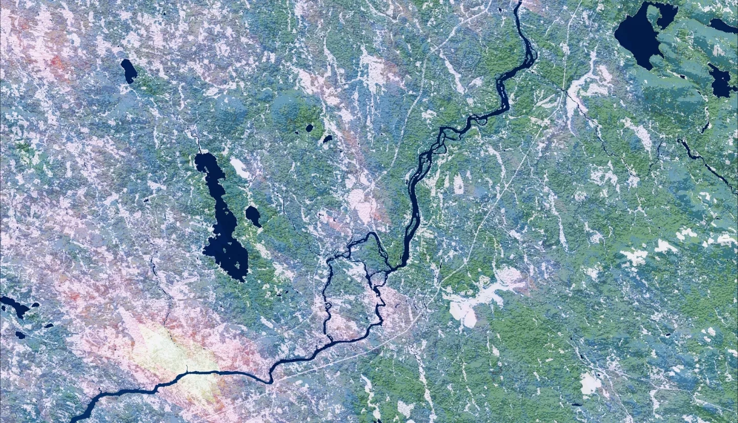
Summary: Shifting patterns in land use and land cover (LULC), temperature, and precipitation have exacerbated a rapid decline in Federally Endangered wild Atlantic salmon (Salmo salar) populations. The team at NASA DEVELOP partnered with the Maine Department of Marine Resources (DMR) and the Downeast Salmon Federation (DSF) to create a comprehensive workshop designed to demonstrate the applicability of Earth observations in examining these threats using the Penobscot, Union, and Machias Rivers as case studies. This entailed curating tutorials for acquiring and analyzing satellite data using Google Earth Engine, EarthExplorer, and Earthdata. The team demonstrated how to classify LULC in ArcGIS Pro from 1985 until 2021 using Landsat 5 Thematic Mapper (TM), Landsat 8 Operation Land Imager (OLI), Sentinel-2 MultiSpectral Instrument (MSI), and datasets from the United Stated Geological Survey (USGS) National Land Cover Database (NLCD), showing an overall transition from coniferous forests to other LULC classes. The team also demonstrated how to use historical data from Terra Moderate Resolution Imaging Spectroradiometer (MODIS) and Integrated Multi-satellite Retrievals for Global Precipitation Measurement (GPM IMERG) to generate 2021 land surface temperature (LST) and precipitation maps, respectively, showing that Maine was abnormally dry during the summer in an increasingly warm region. These workshop materials will aid the partners in integrating NASA Earth observations into their future salmon habitat restoration initiatives.
Related Impact