Description
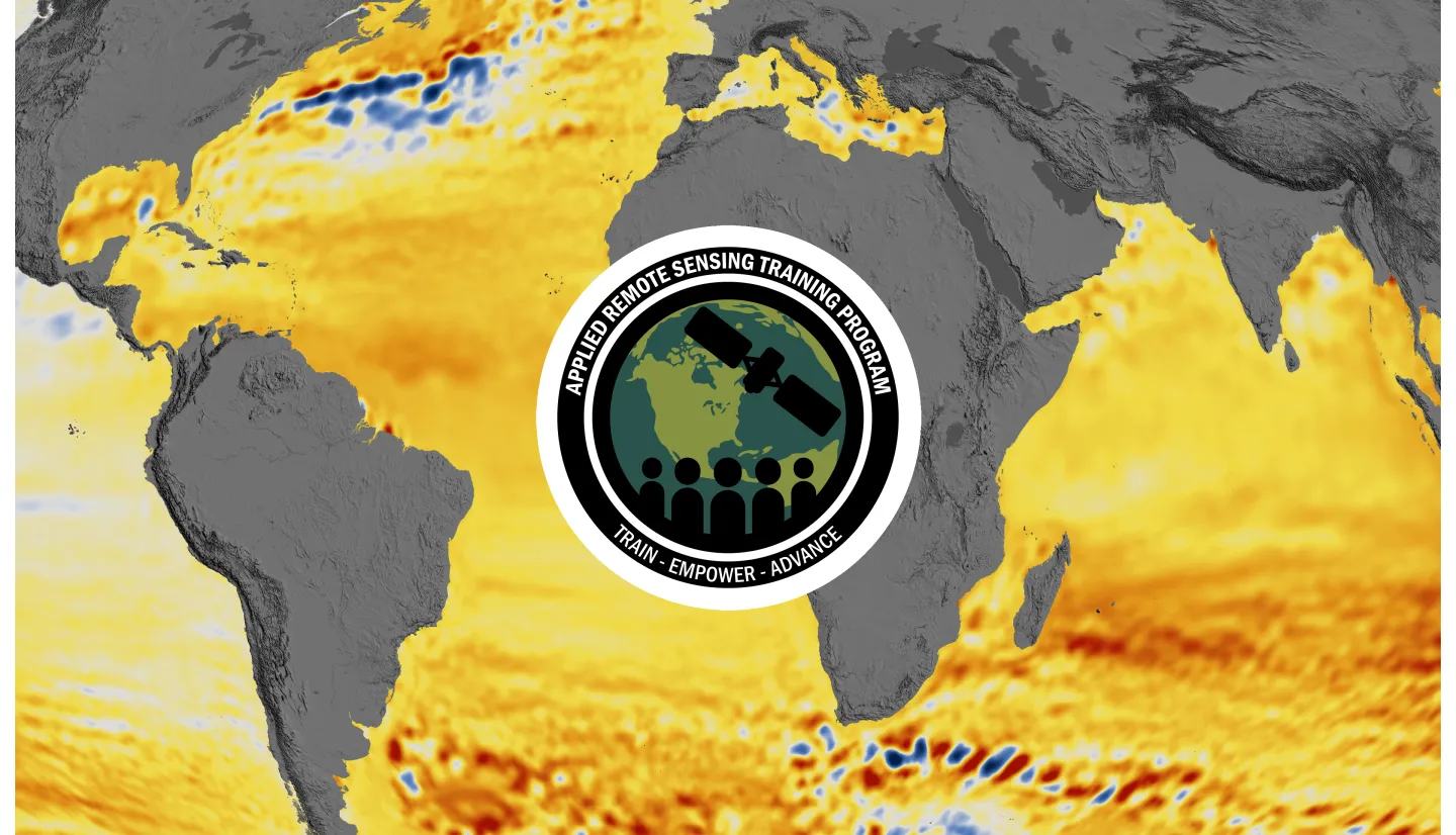
Global sea level has been rising at a rate of 3 mm/yr, and this rate is projected to continue to increase sea level over the next century. Scientists use observations from the ground, air, and space, along with theoretical models and scenarios of future emissions, to monitor and study past, present, and future sea-level rise. This information is a fundamental basis for mitigation, adaptation, and risk management planning in all parts of the world and across many elements of society and ecosystems. This two-part introductory training series will focus on NASA products and tools available to assess historical sea-level rise, access and understand projections of sea level, and investigate impacts. Participants will be exposed to the causes behind regional and global sea-level changes and explore climate and analysis tools to access, visualize, and perform statistical analysis using NASA data.
By the end of this training attendees will be able to:
Identify underlying Earth processes contributing to relative sea-level change at global and regional scales.
Recognize remote sensing and modeled data used for assessing sea level change on a regional to global scale.
Describe how coastal communities and infrastructure can be impacted by flooding caused by sea level change.
Demonstrate how to assess the processes contributing to past and future sea-level change with the Sea Level Explorer tool–at global and regional scales.
Demonstrate how to access future projections of relative sea-level change under different emissions scenarios with the IPCC AR6 Projection Tool.
Visualize oceanic and groundwater flooding maps with the Pacific Islands Flooding Tool.
- Primary: Local, state, federal, and international entities, including public and private sector organizations, wanting to integrate NASA Earth observations and IPCC projections of sea-level change, as well as impacts, for considerations into their work in different sectors; as well as any practitioners of sea-level observations or projections.
- Secondary: Academics and researchers interested in NASA observations and IPCC projections of sea-level change, as well as impacts.
- Two, 1.5-hour parts
- An identical session for each part will be offered at two different times of day (11:00-12:30 and 14:00-15:30 EDT [UTC-4]).
- A certificate of attendance will be offered to those who attend both parts live and complete the homework by the due date.
ARSET Trainers: Sean McCartney
Guest Instructors: Angelica Rodriguez, Denis Felikson
Agenda:
Sea-Level Change Overview
Processes Contributing to Sea-Level Change
Impacts of Sea-Level Change
NASA’s Unique Capabilities in Both Remote Sensing and Modeling
Overview and Demonstration of Sea-Level Explorer (earth.gov/sealevel)
Summary and Q&A
Materials:
ARSET Trainers: Sean McCartney
Guest Instructors: Phil Thompson, Denis Felikson, Bob Kopp
Agenda:
Overview and Demonstration of the Intergovernmental Panel on Climate Change (IPCC) Sixth Assessment Report (AR6) Projections Tool (https://sealevel.nasa.gov/data_tools/17/)
Overview and Demonstration of the Pacific Islands Flooding Analysis Tool (https://sealevel.nasa.gov/data_tools/19/)
Summary and Q&A
Homework (Due July 01, 2025)
Materials:
Homework (Due July 01, 2025)


