Description
Our Fundamentals of Remote Sensing training series consists of self-paced training modules and webinar recordings. They are often a prerequisite for other ARSET trainings.
Participants will gain a basic understanding of NASA satellites, sensors, data, tools, and applications to environmental monitoring and management.
These trainings are appropriate for professionals with no previous experience in remote sensing.
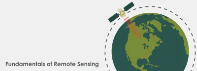
In this self-paced course, you’ll learn the underlying science behind how remote sensing works and the basic functional characteristics of satellites and sensors. You will explore the kinds of satellite remote sensing data that are available, advantages and disadvantages of remote sensing, and some basic tools to visualize data. By the end of the course, you’ll be equipped to begin your journey using NASA’s no-cost, open-access remote sensing data and resources. Earn a certificate upon successful completion of the course.
Note: If you do not already have an account for the ARSET learning management system, you will be prompted to create a free account before you can take this training.

Get familiar with Earth observing satellites in NASA's fleet, sensors that collect data you can use in ARSET trainings, and their potential applications.

Specific satellites, sensors, and resources for remote sensing in land management and wildfires. This includes: land cover mapping and products, fire detection products, detecting land cover change, and NDVI and EVI.

An overview of relevant satellites and sensors, Earth system models, and data and tools for water resource management.

Overview of relevant satellites, sensors, data, and tools for aquatic remote sensing.


