Description
March 16, 18, 23, & 25, 2021
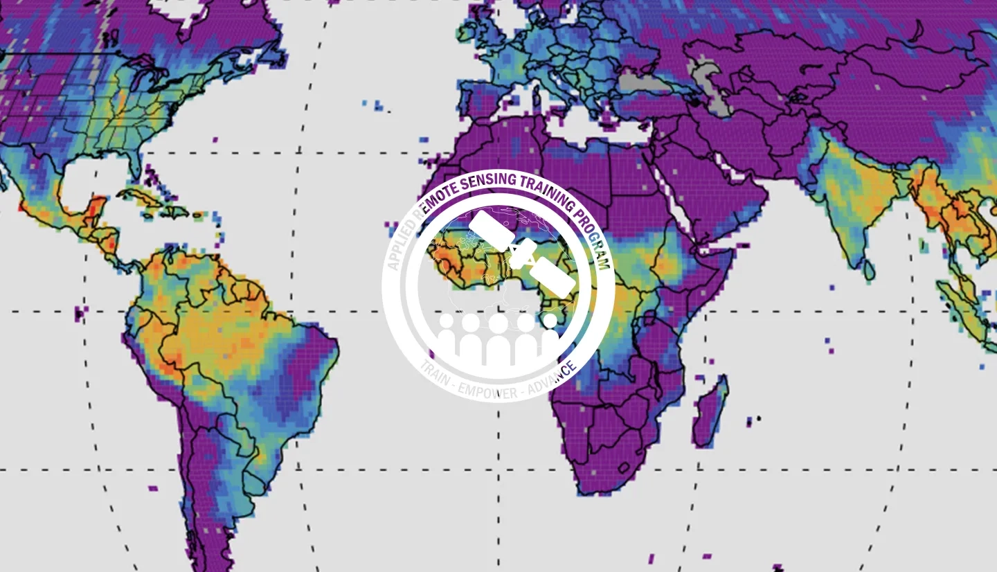
This introductory webinar series will cover the fundamentals of Solar Induced Fluorescence (SIF) and LIDAR, their applications, and an overview of different satellite data sources that are openly available. In addition, it will also include a step-by-step guide on how to access, open, and interpret SIF and LIDAR data.
SIF is a relatively new emerging satellite product, which provides information on photosynthetic activity versus NDVI, which is a greenness index. It serves as a strong proxy to gross primary production (GPP), capturing dynamic responses of vegetation to stressors such as drought and temperature.
LIDAR is a sensor system that illuminates a target and measures distance through the time taken for a pulse to reflect back to the sensor. LIDAR can be used to generate topography and vegetation height maps and retrieve digital elevation data necessary for flood modeling and vulnerability, along with risk analysis. They are valuable datasets for disaster assessment of debris deposition, vegetation loss, and flooding.
- Session 1 of Fundamentals of Remote Sensing
By the end of this training, attendees will be able to understand the basic concepts of SIF and LIDAR sensors, how to interpret the measurements, and how they can be used to address different applications. In addition, attendees will also be able to access, open, and analyze SIF and LIDAR data.
Academia as well as local, regional, state, federal, and international organizations interested in using satellite imagery to support applications related to vegetation studies and disasters.
- Four 2-hour sessions
This session will cover the fundamentals of LIDAR measurements, the characteristics of different spaceborne LIDAR systems, and examples of application areas related to vegetation studies. It will be followed by a question and answer period.
Materials:
This session will summarize where different spaceborne LIDAR measurements can be accessed. This will be followed by a demo showing participants how to open, interpret, and analyze LIDAR data for assessments of vegetation structure. The session will end with a question and answer period.
Materials:
Optional For Part 2: Although NOT A PREREQUISITE, in Part 2 there will be a demonstration of 3D mapping of GEDI data using QGIS and the Qgis2threejs plugin, and a demonstration of a data prep script for subsetting GEDI data using Python.
- We will have the recording of this demonstration available within 48 hours after the presentation for you to go through at your own pace.
- In the demonstration, we will show how to install the Qgis2threejs plugin
- QGIS Can be downloaded at: https://qgis.org/en/site/forusers/download.html
- Qgis2threejs plugin information can be found here: https://qgis2threejs.readthedocs.io/en/docs/
- To install Python, see the instructions in the following readme link. This provides instructions for installing a compatible Python environment for those users interested in executing the GEDI data prep script. https://git.earthdata.nasa.gov/projects/LPDUR/repos/gedi-subsetter/browse. See the section on Python Environment Setup.
This session will cover the fundamentals of SIF, how it is measured from space, and examples of application areas that this measurement can support. It will be followed by a question and answer period.
Materials:
This session will provide an overview of different satellite SIF datasets, their characteristics, and where they can be accessed. It will be followed by a demo with OCO-2 data, showing participants how to open, interpret, and analyze the data to identify vegetation stress. The session will end with a question and answer period.
Materials:
In Part 4 there will be a demonstration of:
- Tools to read/analyze TROPOMI & OCO-2 data (Python & R): https://github.com/cfranken/
SIF_tools - Gridding satellite data (Julia): https://github.com/cfranken/
gridding
You WILL NOT be expected to follow along with the demonstration during the session.
We will have the recording of this demonstration available within 24 hours after the presentation for you to go through at your own pace.
Part 4 tutorial (Julia): https://github.com/
Please refer to slides 17 and 18 in the Part 4 slides for all the links.
- We will use Pluto, a simple, reactive notebook for Julia (similar to ipython notebooks).
- 1st Pluto Notebook “Demo_presentation.jl”
Reading and selecting TROPOMI & OCO-2 SIF data for arbitrary spatial shapes, temporal averaging, generating spatial composites (via oversampling), and evaluating uncertainties
- 2nd Pluto Notebook “Case_Study_illinois.jl”
- Case Study: Impact of the 2019 Midwest Flood on SIF over Illinois


