“We have over 4 million photos of Earth in our database. It’s just so awesome to think of a human up there just snapping away photos of Earth while we’re down here.”
That was Laura Phoebus, GIS specialist with NASA’s Earth Applied Sciences Disasters program area, and featured guest on the GIS Directions podcast. The podcast, created by Esri Australia, discusses all the unique ways that people are using geographic information systems (GIS) technology, and shares practical geospatial tips and insights.
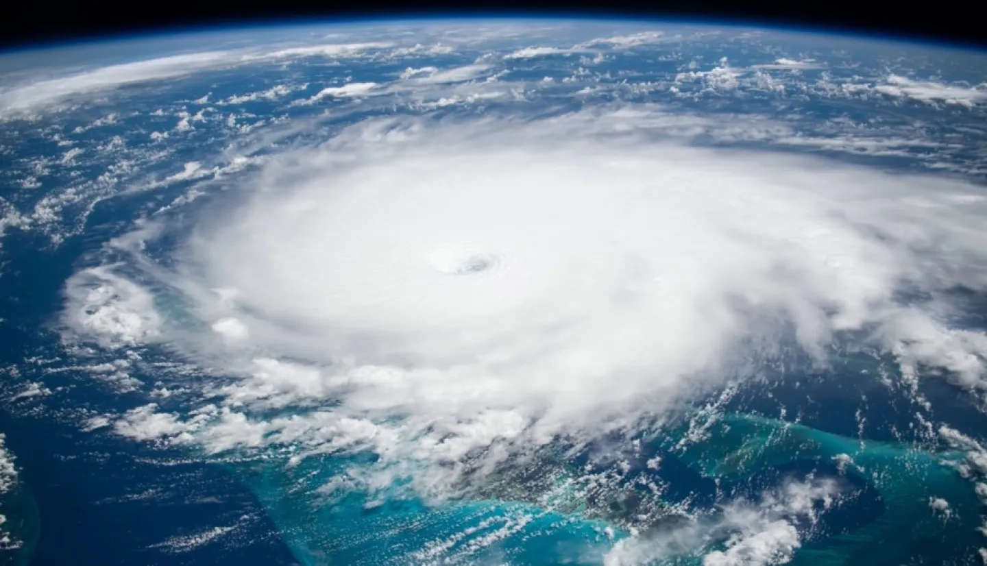
In this episode “Tapping into NASA's Astronaut Imagery”, hosts Wayne Lee-Archer and Rylea McGlusky bring Phoebus on the podcast to talk about astronaut photography from the International Space Station (ISS). The trio explore how astronauts capture images from onboard the ISS, the challenges of being in the right place at the right time, and the difficulties of geo-locating astronaut photos on Earth. Phoebus also reveals that all these astronaut photos, dating back to the 1960s, are freely available to the public on Gateway to Astronaut Photography on Earth, where you can search for a specific photo based on the date, location, cloud cover, and more.

Astronauts often take beautiful pictures of the aurora borealis, city lights at night, and the horizon, but they can also photograph natural hazards such as volcanic eruptions and wildfires from space. In fact, astronaut photography can play a crucial role in helping scientists and decision makers monitor hazards in near real-time. While most traditional satellites only take photos looking straight down at the Earth, astronauts can capture images from a variety of perspectives. Scientists at NASA’s Earth Science & Remote Sensing Unit (ESRS) then geo-reference the photos to identify exactly where they are located on Earth’s surface. Imagery from the ISS works in tandem with satellite imagery to establish a more complete image of a disaster event from multiple angles, and provide critical situational awareness to responders on the ground.
Listen to the podcast “Tapping into NASA's Astronaut Imagery”
Learn More:
- Learn more about how astronaut photography supports disaster management on the International Space Station Imagery for Disaster Response story map.
- Additional information about ISS imagery for disaster response can be found at the NASA Disasters Mapping Portal: International Space Station (ISS) Imagery.
- To find out more about astronaut photography, visit An Introduction to Astronaut Photography of Earth


