
As a child, Kristopher Bedka was fascinated with weather extremes. He grew up in Chicago and always wanted to experience the maximum that the atmosphere had to offer. “When it was forecasted to be cold, I always wanted to see and feel what record cold and snow were like. I wanted us to have two feet of snow instead of two inches. When a severe storm warning was issued, I always stared out the window wanting to see the worst of the storm.” In high school he was given a survey that asked him to choose what he wanted to be when he grew up, and among all of the options meteorologist stood out to him. After reading about some of the possibilities within the field of meteorology, he decided to give it a try. After graduating from high school he went on to receive his Bachelor of Science in meteorology at Northern Illinois University, and his Master of Science in atmospheric sciences and meteorology at the University of Wisconsin-Madison.
After graduate school, Bedka began studies of severe thunderstorms as a researcher at the Cooperative Institute for Meteorological Satellite Studies (CIMSS) at the University of Wisconsin-Madison when two opportunities arose at NASA’s Langley Research Center (LaRC). He and his wife Sarah, who are both in the field, were ready for a change of scenery, so they decided to leave the cold, dark winters of the Midwest behind in exchange for Virginia’s hot summers.

Researching Hailstorms for Disaster Response and Risk Reduction
Bedka is currently the principal investigator for the NASA Applied Sciences A.37 ROSES research project “Hail Storm Risk Assessment Using Space-Borne Remote Sensing Observations and Reanalysis Data.” The project seeks to “use long-term data records of NASA and other agency satellite observations of up to 30 years in duration to detect, characterize, and derive climatologies of thunderstorms likely to produce hail.” This project uses high resolution satellite-based imagers, lightning sensors and synthetic-aperture radar (SAR) data to detect hailstorms and characterize hail damage. These datasets are used as the foundation for catastrophe models (CatModels) that are used to assess damage risk, and are shared with project partners for additional research and applications.

Hailstorms and the Insurance Industry
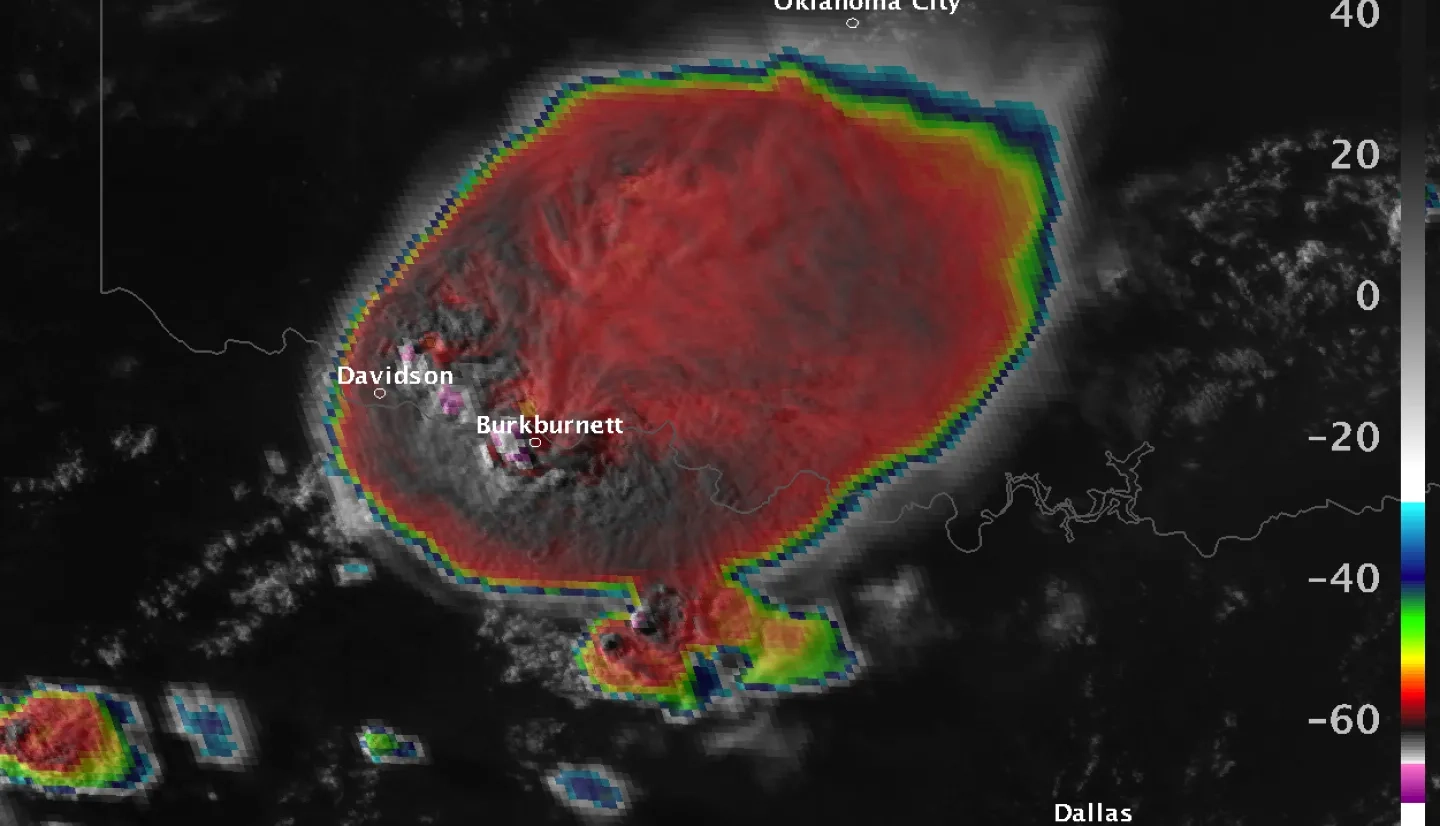
Of the three primary severe convective storm hazards (tornadoes, hail, and wind), hail is the biggest driver of insured loss. Unlike tornadoes, which often receive more media attention than hail, Bedka notes that, “hail happens much more readily in thunderstorms [and the results are] like a death by a thousand cuts, leading to billions in losses when accumulated throughout a year.” When a strong hailstorm occurs over a neighborhood, almost all of the roofs, automobiles, and other assets left outdoors have to be replaced. Because of this, insurance companies are interested in knowing the frequency and severity of hailstorms in areas that are prone to them.
Insurers generally do not carry the substantial cash reserves that are required to payout all of their truly catastrophic claims. For example, if there were a hailstorm that cost an area several billion dollars in damage, an insurer may not have enough money on-hand to payout all of those claims at one time. To be ready for catastrophic events like tornadoes, hail, or damaging wind, insurance companies buy reinsurance—insurance for insurers. Because of this, the reinsurance industry needs to know how frequently catastrophic events happen and what their financial impact could look like; as these two factors affect the rates for the insurers’ reinsurance policy.
The goal of Bedka’s project is to work with the reinsurance industry to help them understand hailstorm risk throughout the globe, and to help the general public make informed decisions regarding hail risk so that they will be purchasing insurance for their homes, automobiles, business and agriculture based in sound science. Though previous studies have used hail reports from the public and the media, weather radars like the U.S. Next-Generation Weather Radar (NEXRAD) system, and detections of temperature, moisture, and wind environments favorable for hailstorm formation to develop hailstorm climatologies, his project seeks to optimize the use of satellite observations to detect hailstorms and map the damage that they cause. Bedka says, “In the end, we will have demonstrated the best possible satellite observation-based approach for mapping out where hail storms have occurred most frequently and could occur in the future. We envision sharing all of the data that we produce with the world and creating simple visualization tools that can be used within your web browser to zoom in on your area and determine how frequently hailstorms occur.”
Learn more about Bedka’s hail research and work with the reinsurance industry

The Challenges of Being a Scientist During COVID-19
According to Bedka, the most difficult aspect of being a world-class scientist is the expectations placed upon you. “The constant need to be publishing papers, leading your teams, innovating, and persistently securing the funding to continue the work can be extremely exhausting and time consuming, and then you have to make connections with collaborators throughout the world, and participate in all of the meetings as well.”
There are only 24 hours in a day, and 40 hours in a work week (in theory), so maintaining a healthy work-life balance can be particularly difficult, especially since most scientists are currently teleworking as a result of the pandemic. COVID-19 has impacted Bedka’s team’s ability to travel and participate directly in meetings. He says, “web-based collaboration tools are great and we’re learning to use them more and more every day, but nothing makes up for being face-to-face and being able to have those close personal interactions.” Like many, Bedka is hopeful that the pandemic will end sooner rather than later so that people can resume the normal interpersonal and professional relationships that make working at an organization like NASA so fulfilling.
More about Bedka's work with NASA's airborne missions can be found at the NASA.gov story "NASA Testing Airborne Lasers to Touch the Wind."


