Description
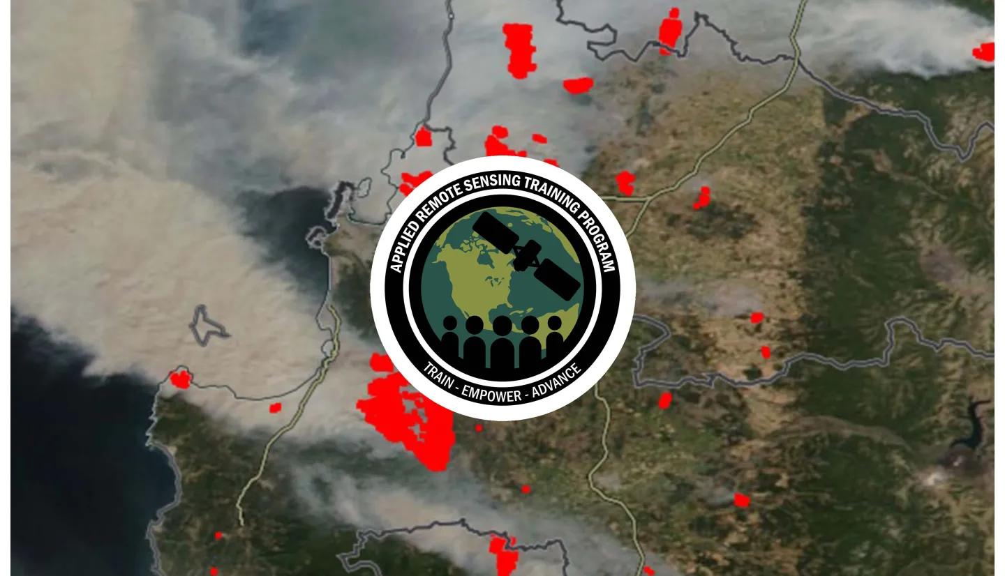
Wildland fire managers, scientists and the public benefit from timely and easy to access information about current fire activity to provide information about potential risks and support suppression activities. NASA provides multiple sources of time sensitive satellite imagery and derived data products within the Fire Information for Resource Management System (FIRMS). FIRMS is a web-based application with a dynamic mapping interface to visualize current and historical satellite imagery, active fire detections/hot spots and related science data products to identify the location, extent, and intensity of wildland fire activity and its effects. The application also provides multiple tools for users to access and ingest data as downloadable GIS datasets and map services for use in applications. This three-part training will familiarize participants with the various modules available in FIRMS, explore the range of data and information available as well as the characteristics of satellite-based active fire detection, and provide hands-on experience that participants can apply to query, access, and visualize the data in GIS and other applications.
By the end of this training attendees will be able to:
- Evaluate different satellite-based active fire detection data sources using FIRMS to build a wildfire narrative; understand the strengths and limitations of each source for different types and sizes of fires
- Apply FIRMS data and tools to evaluate rapidly growing wildfires using tools available in FIRMS
- Apply strategies using FIRMS to identify factors that can impact satellite-based wildfire detection, resulting in a ‘missed’ wildfire, and plan for when data may become available
- Use FIRMS to monitor a particular area of interest by accessing active fire data from the archive of available data, using web services to create an email alert for the area, and ingesting the resulting fire alerts into a GIS platform to enable evaluation
- Stakeholders involved in the identification, monitoring, and management of wildfires and their impacts including Federal, state agency, and local government representatives; National governments; NGOs; Academia
- Three, 1.5-hour parts
- An identical session for each part will be held at two different times of day
- Session A: 11:00-12:30 EDT (UTC-4)
- Session B: 15:00-16:30 EDT (UTC-4)
- Each session will conclude with a live Q&A
ARSET Instructors: Melanie Follette-Cook
Guest Instructors: Jenny Hewson, Brad Quayle, Diane Davies
- Satellite-based detection of fires
- FIRMS navigation and modes
- FIRMS algorithm approach
- Strengths and limitations of different satellite-based active fire detection data products
Materials:
ARSET Instructors: Melanie Follette-Cook
Guest Instructors: Jenny Hewson, Brad Quayle, Diane Davies
- How FIRMS active fire data sources can be used for early detection of wildfires
- Using FIRMS capabilities to monitor wildfire growth
- Identifying factors that can impact wildfire detection
Materials:
If you wish to follow the demonstration associated with this webinar, please complete the following:
A short tutorial is available through the ARSET learning management system that walks you through how to download and install QGIS for a Windows operating system.
Note: If you do not already have an account for the ARSET learning management system, you will be prompted to create a free account before you can take this training.
ARSET Instructors: Melanie Follette-Cook
Guest Instructors: Dylan Mendes, Otmar Olsina, Asen Radov
- Exploring Web Services available through FIRMS
- Options for ingesting active fire data and information into a GIS platform
Materials:


