Description
Conflict, war, and forced displacement affect millions of people each year and have immediate and long-term consequences for human health and development, in addition to causing the degradation of natural and managed landscapes. Analysis with NASA satellite imagery can help target humanitarian response and relief by i) offering a timely understanding of region-specific environmental conditions and change, and ii) capturing contextual information over broad geographic regions and time spans.
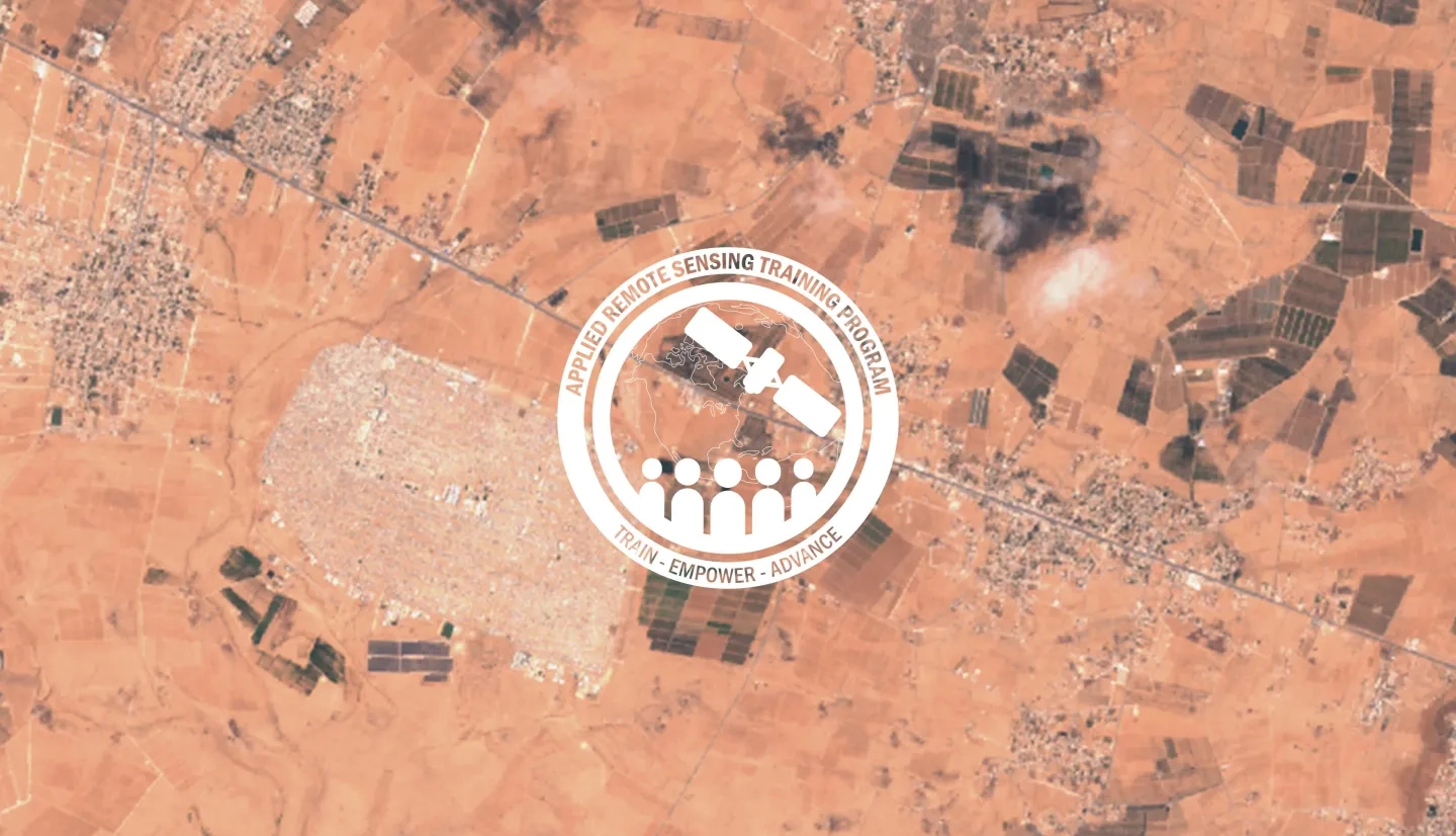
This 4-part introductory training will focus on using NASA data products for monitoring human settlements and landscapes during armed conflict and forced displacement. This ARSET training is the first dedicated to humanitarian applications of NASA satellite imagery with topics including monitoring urban damage, mapping refugee settlement dynamics, and gauging climate hazards at refugee settlements. For each topic, we will discuss relevant satellite sensors and methodologies, data access and analysis using Google Earth Engine, as well as assumptions, opportunities, and limitations of various remote sensing-based approaches in humanitarian applications.
This training supports quantitative and visual understanding of short- and long-term conflict effects that are evident in satellite imagery, complements analysis of georeferenced humanitarian data, and builds on previous ARSET trainings associated with cropland monitoring, human settlement detection, disaster risk assessment, nighttime lights, and Google Earth Engine.
After participating in the training, attendees will be able to:
- Conceptualize landscape- and settlement-level monitoring with satellite remote sensing
- Select a range of satellite image data (i.e., optical, radar, nighttime lights, etc.) for humanitarian applications
- Recognize the value of time series analysis for monitoring acute and long-term changes in humanitarian contexts
- Identify opportunities and limitations of using satellite data in humanitarian applications
- Integrate satellite-derived humanitarian data with other open-access geospatial products on population, building footprints, infrastructure, etc.
This training is primarily intended for stakeholders, academics, researchers, non-governmental organizations (NGOs), international agencies, and government ministries involved in humanitarian response and decision support activities.
Four-part webinar series. Each part will be 2 hours presented in identical, pre-recorded morning/afternoon sessions on the same day for broader outreach across time zones.
- First Session: 11:00-13:00 EDT (UTC-4)
- Second Session: 15:00-17:00 EDT (UTC-4)
Speakers: Jamon Van Den Hoek & Corey Scher
- Detect locations of urban change during armed conflict
- Understand different strengths and limitations of optical, radar, and nighttime lights data for monitoring acute urban changes
- Leverage full time series of satellite data for long-term analysis
Materials:
Speakers: Jamon Van Den Hoek & Hannah Friedrich
- Examine built-up land cover changes associated with refugee settlement establishment
- Map rapid expansion of refugee settlements using time series data
- Analyze satellite data-informed demographic products and compare to official population estimates
Materials:
Speakers: Jamon Van Den Hoek & Hannah Friedrich
- Map vegetation conversions within and surrounding refugee settlements
- Visualize and measure changes in agricultural conditions over time
- Measure changes in land degradation metrics before and following settlement establishment
Materials:
Speakers: Jamon Van Den Hoek, Michael Owen, & Andrew Kruczkiewicz
- Use multi-criteria hazard analysis to estimate climate hazard potential across multiple sites
- Evaluate how different satellite products influence climate hazard assessment
- Compare climate hazard profiles to known hazard events
Materials


