Description
July 25, 2018 - August 01, 2018
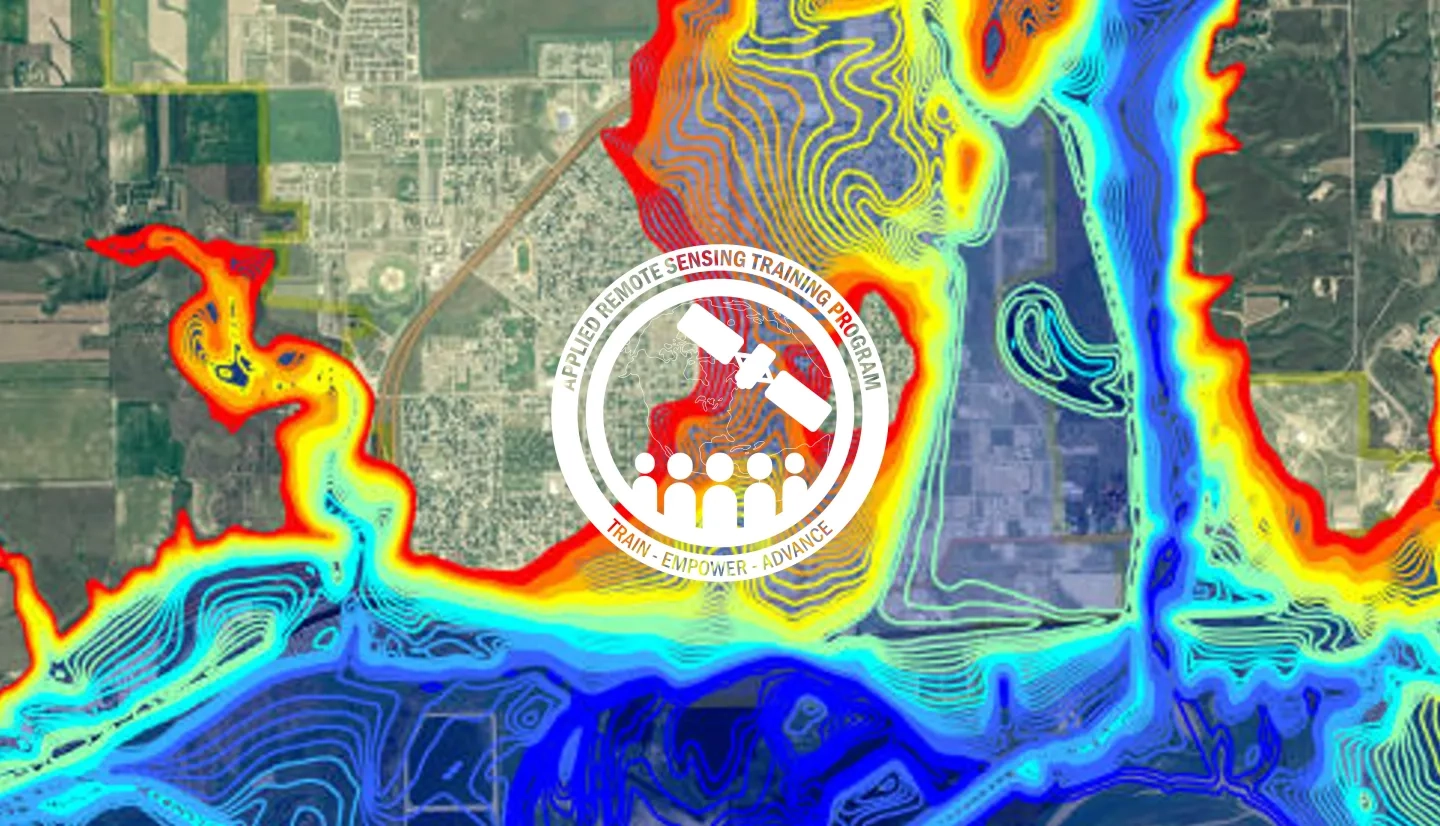
According to the UNDP, by 2050, two thirds of the world’s population is likely to live in cities. Urban flooding is already a major risk for cities. Increasing impervious surface area, inadequate storm water drainage, and aging infrastructure all contribute. As a result, growing urban populations will face a greater risk of flooding from extreme weather events. This webinar series will focus on the components of urban flooding that satellite data can track:
- Extreme precipitation
- Flooding
- Waterlogged and ponded surfaces
Using satellite data allows individuals and organizations to develop better plans for handling floods. This can include developing better early warning techniques, better plans for rescue and relief, and more effective long-term infrastructure planning.
- Session 1 of Fundamentals of Remote Sensing
By the end of the training, attendees will be able to:
- Describe remote sensing and Earth system model data useful for flood monitoring in urban areas
- Identify how remote sensing can aid in planning early warning systems, flood response, and flood recovery efforts
This training is primarily intended for urban water and disaster managers, urban planners, emergency responders, transportation and utility providers and planners, public health professionals, and the insurance sector.
- Two 2-hour sessions
This session will provide an overview of causes and risks associated with urban flooding. It will also go through data needs for flood management (before, during, and after flooding) and how to use remote sensing to monitor precipitation.
Materials:
Materiales en Español:
This session will look at examples of SAR-based urban flood monitoring and examples of LIDAR data for urban floodplain detection. Attendees will also learn about Landsat-based urban data, SRTM terrain data, socioeconomic data, and how to access MODIS Near Real-Time data, the Global Disaster Alert and Coordination System (GDACS), and the Global Flood Monitoring System (GFMS).
Materials:
Materiales en Español:


