Description
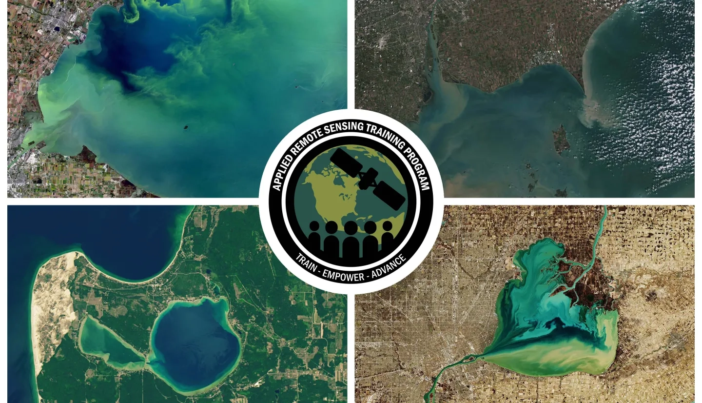
This advanced-level training will focus on using remote sensing observations from Landsat 8 and 9, Sentinel-2, and Sentinel-3 for assessing water quality parameters, including chlorophyll-a concentration, turbidity, and Total Suspended Solids (TSS) in inland lakes. This training will also highlight the importance of in situ measurements of these parameters, coincident with satellite observations, in developing methodologies for operational water quality monitoring. Participants will perform hands-on exercises in Google Earth Engine (GEE) to access satellite data and develop methodologies to assess water quality parameters. In addition, an overview of Cyanobacteria Assessment Network (CyAN), an early warning system to assess algal blooms in freshwater lakes will be provided.
- Fundamentals of Remote Sensing
- Integrating Remote Sensing into a Water Quality Monitoring Program
- Participants should create a GEE account prior to the start of the training by visiting the new Earth Engine account sign up page.
Local, state, federal government and non-governmental entities working with water resources and lake ecosystem management, drinking water utilities, public health advisories, and freshwater fisheries.
- Three, 2-hour sessions including Q&A
Trainers: Amita Mehta and Sean McCartney
- Describe state-of-the art, high spatial and spectral resolution observations and their access using GEE
- Describe open source, in situ measurements of water quality parameters
- Provide information about upcoming NASA missions useful for water quality monitoring
Demonstration and Exercise:
- Introduction to GEE
- Access Landsat 8 and Sentinel-2 surface reflectance data using GEE
- Access Sentinel-3 top of the atmosphere reflectance data using GEE
- Explore and download in situ measurements of water quality parameters (chlorophyll-a concentration, turbidity, and TSS) for selected lakes
Materials:
- Presentation Slides
- Q&A Document
- Exercise Information:
Materiales en Español:
Trainers: Bridget Seegers, Blake Schaeffer, and Amita Mehta
- Overview and Applications of CyAN
Demonstration and Exercise:
- Explore CyAN website
Materials:
Materiales en Español:
Trainers: Sean McCartney and Amita Mehta
- A brief review of methodologies to assess water quality from remote sensing
- Benefits and limitations of various satellite sensors for water quality monitoring
- Training summary
Demonstration and Exercise:
- Calculate spectral indices as indicators of water quality from Landsat, Sentinel-2, and Sentinel-3 observations
- Develop statistical coefficients to derive water quality parameters based on remote sensing and in situ data
- GEE Code Links
Materials:
Materiales en Español:


