Description
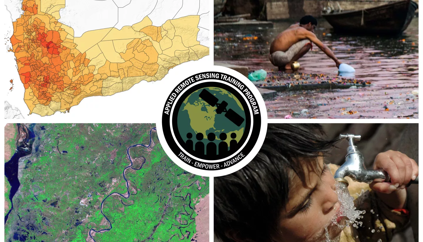
Waterborne diseases such as cholera, diarrhea, hepatitis A, typhoid, and polio are caused by contaminated drinking water and poor sanitation (World Health Organization). Inadequate management of urban, industrial, and agricultural wastewater worsens water quality in water bodies, introducing chemicals and exacerbating growth of pathogens in water. Every year, waterborne diseases are responsible for approximately one million deaths, the majority of which are children under the age of five. For improved availability of safe drinking water, it is necessary to monitor and manage watershed processes (e.g., rainfall, land use, runoff) and water quality in coastal regions, streams, and lakes for harmful pathogens and sediments. Globally available satellite observations have been found useful for monitoring temperature, sediments, and phytoplankton in water bodies as indicators of waterborne diseases. Also, flooding and pathways for waterborne diseases are studied using satellite observations. Satellite data are also used in disease (e.g., cholera) prediction models.
This two-part training will focus on describing and accessing remote sensing observations useful as water quality indicators of waterborne diseases, and will present case studies where remote sensing data are used to assess the likelihood of cholera outbreaks.
- Fundamentals of Remote Sensing
- Optional: To follow along with the demonstrations for this training, please register for an Earthdata account and CyAN account.
By the end of this training attendees will be able to:
- Identify the factors that affect the presence of microbial contaminants in water, leading to waterborne diseases in which satellite remote sensing can improve risk assessment.
- Identify Earth observations used for monitoring key environmental factors relevant for assessing the presence of contaminants in drinking and recreational waters and risk of waterborne disease outbreaks.
- Recognize how satellite observations are integrated with in situ water quality data to develop risk assessment models for waterborne diseases such as Cholera.
- Water quality management agencies including domestic and international government agencies, drinking water utilities, stormwater and wastewater managers, aid organizations, indigenous communities, students, and academics.
- Two, 1.5-hour sessions
- An identical session will be offered from 9:00-10:30 ET and 14:00-15:30 ET
ARSET Instructors: Amita Mehta
- Overview of Waterborne Diseases
- Open-Source Satellites and Sensors
- Demonstration: Data Access
Materials:
ARSET Host: Amita Mehta
Guest Instructors: Antar Jutla, Bailey Magers
- Utility of Satellite Data in Waterborne Disease Prediction Models
- Example of a Disease Prediction Model for Cholera
- Demonstration: Assessing Risk and Decision Making for Diseases
Materials:


