Description
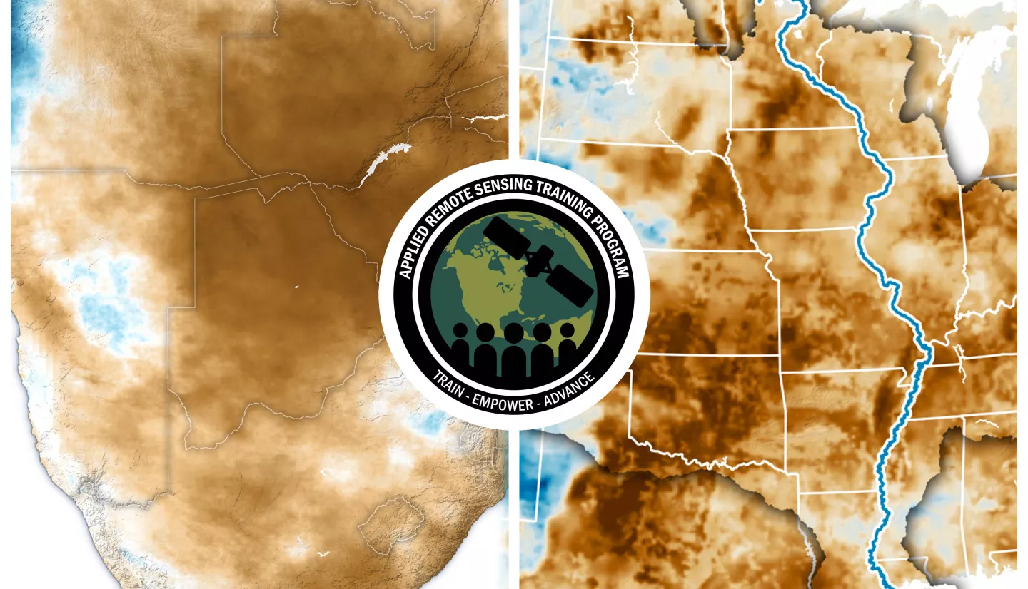
The United Nations has documented that drought frequency and duration have increased globally since 2000. According to this report 2.3 billion people around the world are currently facing water stress. Although droughts only represent 15% of natural disasters, they killed 650,000 people between 1970 and 2019. Also, it is predicted that by 2050, drought could affect more than 75% of the world’s population. Droughts affect drinking water availability, ecosystems, and crop production – critical for quality and sustainability of plant, animal and human lives. For better water and agricultural management it is crucial to monitor and forecast drought conditions.
This four-part advanced training will build upon previous ARSET trainings and provide hands-on data analysis exercises for monitoring different types of drought (meteorological, hydrological, and agricultural). Moreover, the training will include drought prediction analysis on sub-seasonal to seasonal (S2S) time scales and climate change projection analysis of drought conditions.
[Optional]: To follow along with the demonstrations for this training, please review optional prerequisites listed under each training part below.
Training Update: Part 1 of this training will be extended by 30-minutes for both the morning and afternoon sessions.
By the end of this training attendees will be able to:
- Identify important Earth Observations and tools for assessing short term (week to month) to long-term (seasonal to multi-decadal) drought conditions.
- Identify drought portals and relevant geophysical parameters for monitoring droughts globally and regionally.
- Access and analyze sub-seasonal to seasonal forecasts of temperature and precipitation for evolving drought conditions for a region of interest.
- Access and analyze climate change projection data to assess impacts on long term drought conditions for a region of interest.
- Explore selected regional drought monitoring tools that can be customized for a user’s region of interest.
- Primary target audience: Water resources and disaster managers and planners from local, state, federal, and international organizations interested in using remote sensing to monitor drought
- Secondary target audience: Crop growers and planners, forestry managers
- Other potential participants: Academic researchers working on drought impacts and adaptation
Four two-hour sessions.
ARSET Trainers: Amita Mehta, Sean McCartney
Guest Instructors: Kelsey Satalino (CIRES/NOAA/NIDIS), Steve Ansari (NOAA), Brad Pugh (NOAA-NWS), Compton Tucker (GSFC)
- Identify Earth observation data sets and tools for both global and regional short term drought monitoring
- Explore regional drought monitoring tools for analyzing drought conditions in the US
- Calculate drought indices for a selected time and region of interested using Google Earth Engine
Optional: To follow along with the demonstration, please create an account to login to Google Earth Engine (https://earthengine.google.com/). Please register for a Google Earth Engine account before attending this training as there is a 1-2 day approval process.
Materials:
ARSET Trainers: Amita Mehta
Guest Speaker: Andrea Molod (GMAO)
- Recognize functionality of NASA’s sub-seasonal to seasonal (S2S) forecast system and data
- Assess evolving drought conditions using given S2S temperature and precipitation prediction data in QGIS for a region of interest
Optional: To follow along with the demonstration, please download QGIS. This can be downloaded for free from www.qgis.org.
Materials:
ARSET Trainer: Amita Mehta
- Recognize functionality of NEX-GDDP-CMIP6 climate projection dataset
- Access NEX-GDDP CMIP-6 climate change projections to assess long term drought conditions for a region of interest
Optional: To follow along with the demonstration, please create an account to login to Google Earth Engine (https://earthengine.google.com/). Please register for a Google Earth Engine account before attending this training as there is a 1-2 day approval process.
Materials:
ARSET Trainer: Erika Podest
Guest Instructor: Amber McCullum (WWAO), Reetam Majumder (Southeast Climate Adaptation Science Center, North Carolina State University)
- Identify regional drought projects with NASA’s Western Water Applications Office
- Explore how the WWAO-developed Navajo Nation Drought Severity Evaluation Tool (DSET) is used to calculate drought metrics and vegetation health anomalies
- Explore Sustainable Forest Management and Information System (SFMIS) in Google Earth Engine to assess impact of drought on land cover change
Optional: To follow along with the demonstration for this training, please create an account to login to Google Earth Engine (https://earthengine.google.com/) and Google Colab (https://colab.research.google.com). Please register for a Google Earth Engine account before attending this training.
Materials:
- Presentation Slides
- Part 4 Google Earth Engine Instructions
- NASA ARSET Github
- Q&A Transcript
- Homework (Due August 15th)