Description
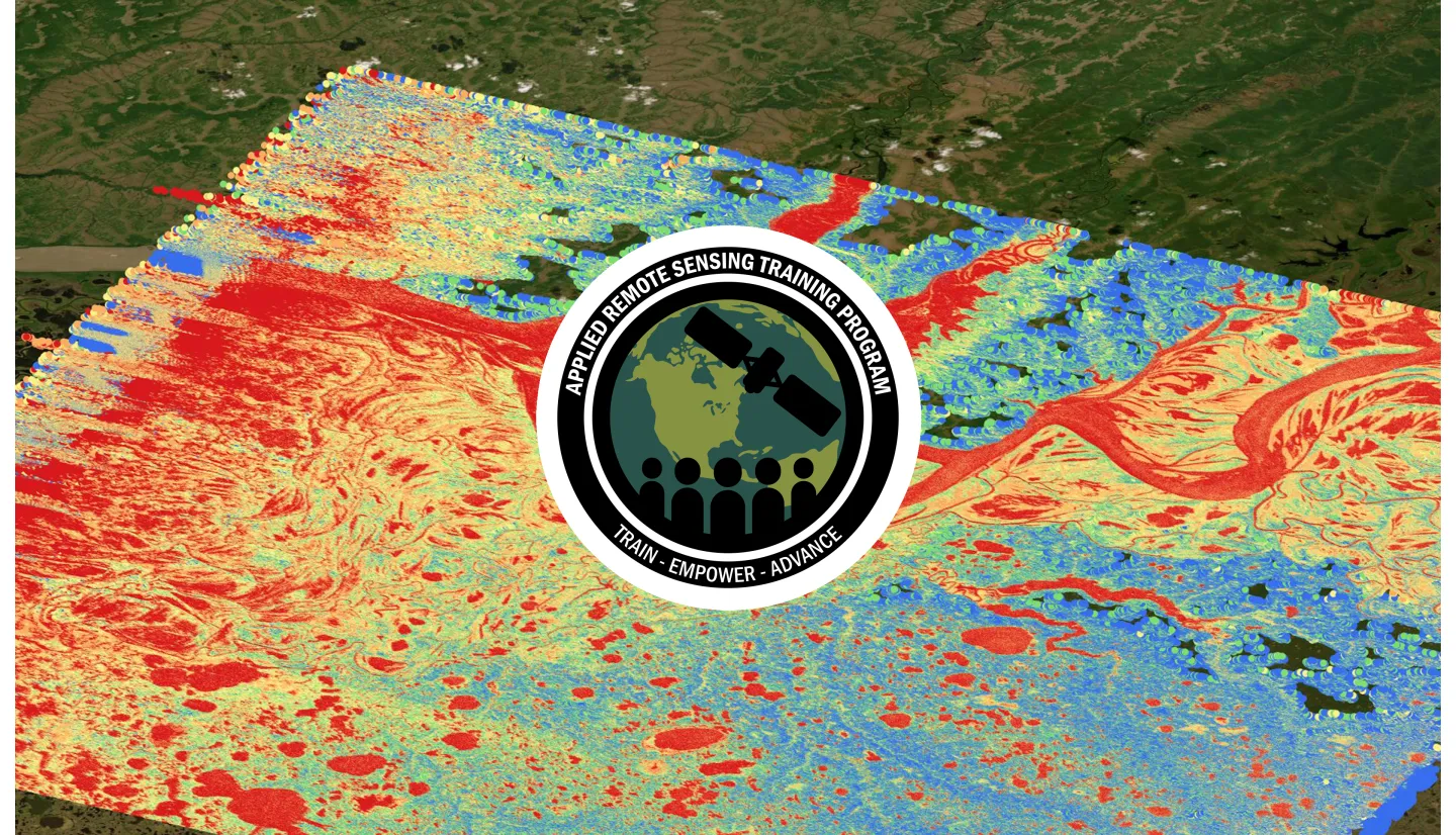
Oceans, lakes, and rivers are major components of Earth’s surface water. Freshwater lakes and rivers are primary sources of water supply for drinking, agriculture, energy, and transportation, and support aquatic ecosystems and wildlife. A series of NASA satellites (e.g., TOPEX-Poseidon, Jason 1, 2, 3, & 6) with altimeter observations have been used to estimate ocean surface and inland lake surface heights (> 50 km2) since 1992. The latest NASA mission, Surface Water and Ocean Topography (SWOT), which was launched on December 16, 2022, allows the first ever mapping of global surface freshwater components, including rivers, lakes, and wetlands, with high-resolution measurements (~200 m). Environmental changes, land use, and other water supply and demand changes affect these freshwater sources. Particularly, rivers spanning multiple countries or states within countries pose challenges in estimating water availability and usage. The SWOT data provides unique capability of monitoring changes in freshwater, including river and lake level elevations, river width, slope, and discharge. This training will focus on introducing SWOT freshwater data products and their applications for water resources and disaster management.
This training is also available in Spanish.
By the end of this training attendees will be able to:
Identify available historic and current lake elevation data using satellite remote sensing.
Recognize key science and technology advances behind how SWOT measures surface water bodies.
Identify ways to access SWOT data for water resources and disaster management applications, monitoring parameters such as elevation, slope, width, and discharge for global river reaches.
Identify ways to apply SWOT data for water resources and disaster management applications.
Learn how to utilize the SWOTviz and WISP data visualization tools.
- Federal, state, local agencies and international governmental and non-governmental organizations engaged in the management of water resources and disasters, reservoir and dam managers, hydropower companies and managers, ecosystem managers, academic faculty and students, river transportation entities, freshwater fisheries/aquaculture.
- Two 1.5-hour parts
- An English session will be held from 11:00-12:30 EDT and a Spanish session from 15:00-16:30 EDT.
- Those who attend both live sessions and complete the homework will receive a certificate of completion.
ARSET Trainers: Amita Mehta, Sean, McCartney, Erika Podest
Guest Instructors: Matthew Bonnema (JPL)
Agenda:
- Background
- Introduction to the SWOT Mission and Terrestrial Water Data Products
Materials:
ARSET Trainers: Amita Mehta, Sean McCartney, Erika Podest
Guest Instructors: Matthew Bonnema (JPL), Michael Durand (Ohio State University), Merritt Harlan (USGS)
Agenda:
- Overview of SWOT Data Applications
- Overview and demonstration of WISP
- Overview and Demonstration of SWOTViz
Materials:
- Presentation Slides
- Q&A Transcript
- Homework (Due May 31, 2025)


