Description
July 30, 2018 - July 31, 2018
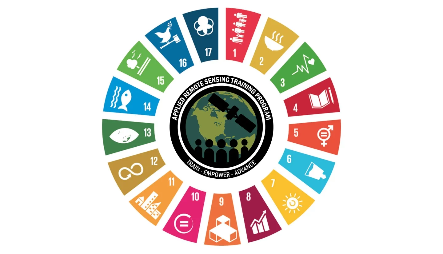
This training was given as a part of the eighth session of the United Nations Committee of Experts on Global Geospatial Information Management (UN-GGIM 8). The training aims to show the potential and current applications of Earth observations and geospatial information for monitoring the UN Sustainable Development Goals (SDGs). This two-day training incorporated a combination of lectures, demonstrations, and hands-on activities, featuring guest speakers from UN-GGIM, GEO, NASA, and other organizations. Participants will learn to access, interpret, and apply NASA Earth observations to local and global scales, with a focus on applying Earth observations to address SDG monitoring and reporting. Case studies and examples will focus on the Latin American and Caribbean regions, including their priorities and methodological needs for monitoring and reporting SDGs.
By the end of this training, attendees will be able to:
- Describe the UN Sustainable Development Goals, with a focus on Goals 6 and 15
- Understand the uses and applications of Earth Observations and Geospatial Information to monitor and report on the SDGs
- Access, interpret, and apply NASA Earth observation data to assess SDG indicators 6.6.1 (sub-indicator 2), 15.1.1, and 15.3.1
- Overview of SDG 6 and Indicator 6.6.1
- Demonstration of Water Quality Data Access Using Online Portals
- Acquiring Satellite-Based Water Quality Data for SDG 6.6.1
- Overview of SDG 15
- Introduction to Remote Sensing for Assessment of Land-Related SDGs
- Overview of Target 15.1 and Indicator 15.1.1
- Overview of Target 15.3 and Indicator 15.3.1
- Introduction to Remote Sensing for Assessment of Land- Related SDGs Exercise


