Aquatic invasive species (AIS) presence in freshwater ecosystems has increased over the past several years as a result of climate change and anthropogenic landscape change. The spread of AIS is harmful to the health of native aquatic species, and therefore threatens the health of aquatic ecosystems. Current monitoring programs lack the ability to keep up with the increase in spread and need to utilize remote sensing and other types of observational data (eDNA). This project addresses Sustainable Development Goal (SDG) 15.8 by utilizing in-situ environmental DNA (eDNA) data as well as Earth Observation data to create a tool that can monitor, analyze, and predict the spread of AIS anywhere in the contiguous United States.
OUTPUTS & IMPACT
Creation of analytical workflow which facilitates spatial risk assessments of AIS for use in high-priority areas (SDG 15.8)
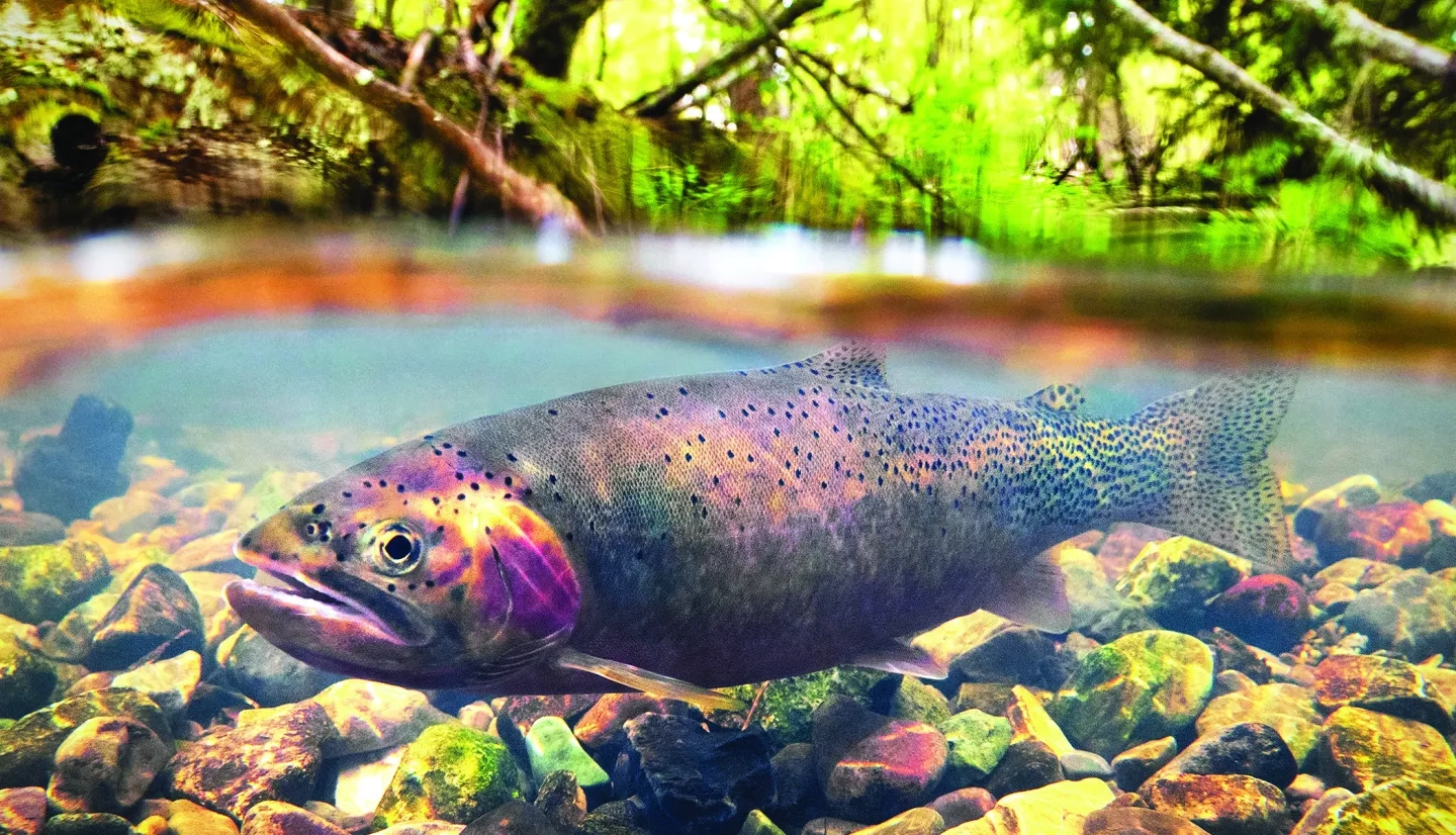
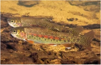
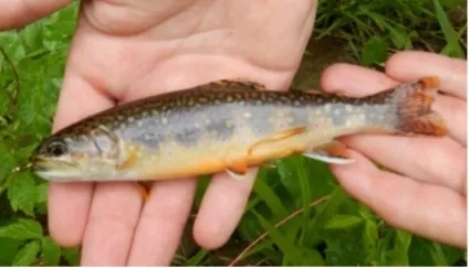
A prototype of the workflow is being used by biologists at the US Forest Service, US Fish and Wildlife Service, and other agencies to analyze and predict the spatial spread of Rainbow Trout and Brook Trout (Figure 1). The project team collaborates with state agencies, tribal, and federal agencies to promote the sharing of AIS data, which will enhance the longevity and accuracy of the workflow. The researchers plan on applying the workflow to 6 to 8 focal AIS which were chosen by collaborating with and prioritizing the input from resource managers across the US. The prototype also allows the user to upload their own data for any AIS taxa. The data collected in the workflow could contribute to national SDG reporting efforts, but there is not an established protocol for doing so yet; the team and others are working on this.
Creation of machine learning tool that integrates the workflow outputs into the USGS non-indigenous aquatic species (NAS) database for use by US resource managers (SDG 15.8)
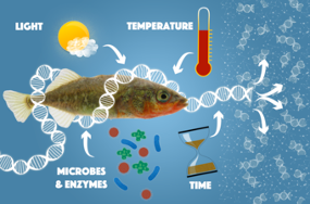
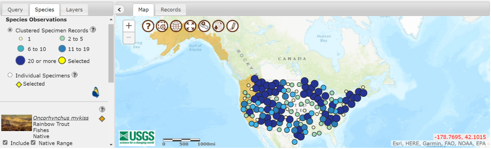
The tool is used to generate spatially explicit sustainability maps for early detection and rapid response of AIS, it will function on both a local and national scale. Its functionality will be catered to the specific needs of resource managers, but its main purpose is to provide ecological niche models to analyze relative habitat suitability and spatial risk of successful establishment in a particular region. Additionally, eDNA is being utilized to create more wholistic models and spatial risk maps, which has allowed for a genetic database to be built into the tool. Figure 3 illustrates some of the ways in which eDNA is distributed and diluted. The existing spatial data for Rainbow Trout on the USGS NAS database can be seen in Figure 2, which the tool will build upon. The tool has not yet been integrated into the USGS NAS database due to COVID delays, but the USGS has shown great interest in maintaining the tool far beyond the project timeline. It is likely that once a protocol to report on AIS in the SDGs is established, the outputs of this tool will be included.