Milwaukee Urban Development (Summer 2022)
Team: Madeleine Tango (Project Lead), Jack Acomb, Lisa Son, Annika Harrington
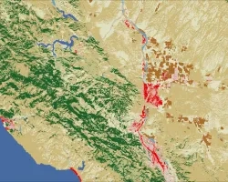
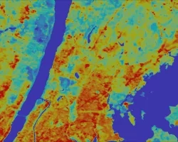
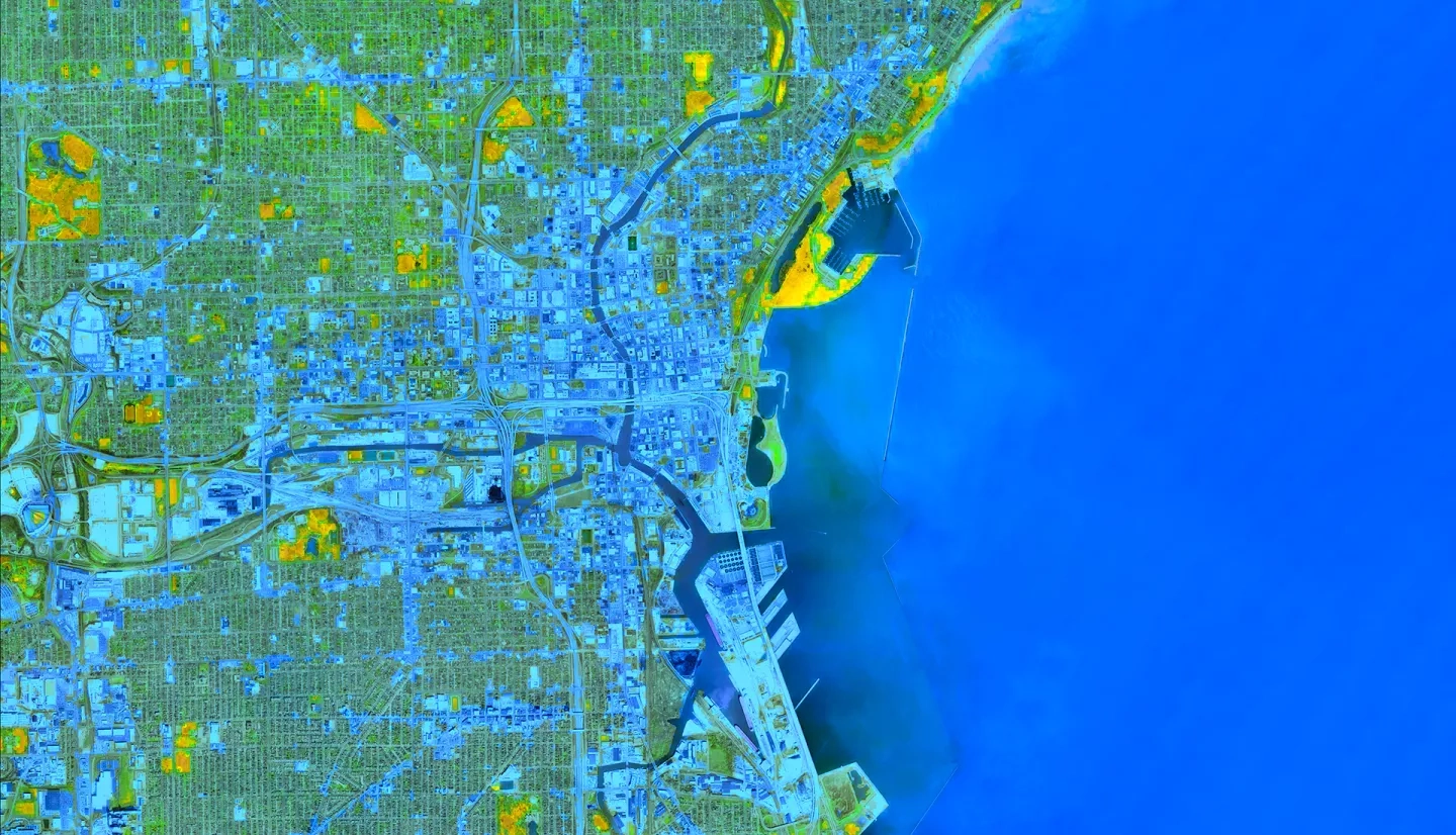
Summary: Milwaukee County has experienced an increase in flooding due to climate change and urbanization. The frequency and severity of flooding vary spatially due to differences in land cover, surface permeability, and infrastructure. Marginalized communities tend to experience disproportionately high flooding and damage due to infrastructural inequalities and limited access to resources. To quantify these differences, we used the Natural Capital Project’s Integrated Valuation of Ecosystem Services and Tradeoffs (InVEST) Urban Flood Risk Mitigation Model to calculate and create maps of runoff retention, nominal flood depth, and economic damage to buildings in Milwaukee. Our model inputs included land cover, surface permeability, and rainfall. To inform our precipitation inputs, we used NASA’s Integrated Multi-satellite Retrievals for Global Precipitation Measurement (GPM IMERG) and National Weather Service (NWS) data. We assessed the relationship between flood risk and social and environmental spatial data including redlining, racial demographics, greenspace, and community resilience. The data demonstrate that flood risk is higher in historically redlined neighborhoods, majority Hispanic and Black census block groups, areas that lack parks and trees, and areas of low community resilience as measured by the Census Bureau’s Community Resilience Estimates (CRE). These findings will support our partners, Groundwork Milwaukee and Groundwork USA, in their efforts to promote the equitable distribution of resources and support environmental health in urban spaces. The end products of this project provide our partners with tools to assess urban flooding vulnerability, guide future intervention projects, quantify the effects of environmental injustice, and improve stakeholder access to data.
Related Impact