Marin County Wildland Fires (2023 Spring)
Team: Suhani Dalal (Project Lead), Katera Lee, Chandler Ross, Gabriel Rosenstein
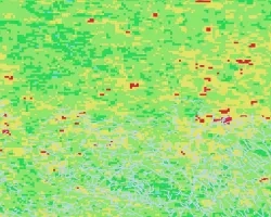
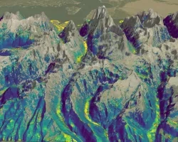
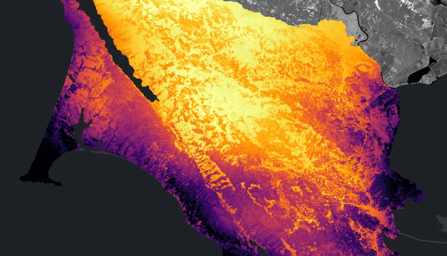
Summary: Heightened occurrence of severe wildfires in the Western United States is increasing the need to better understand regions of high potential wildfire severity and develop methodologies for identifying the best locations for fuels reduction and active wildfire suppression, especially in populated regions such as Marin County, California. Marin County, located in the San Francisco Bay Area, has had significant development in the wildland-urban interface and periods of highly wildfire-prone conditions. The NASA DEVELOP team collaborated with Fire Foundry, a Marin-based fire service workforce development program, to develop models to assist with fire management. Using data from Sentinel-2A, PlanetScope, ECOSTRESS, a county-wide LiDAR mapping effort, Landsat 7 Enhanced Thematic Mapper (ETM+), and Landsat 8 Operational Land Imager (OLI), the team developed a number of input data layers to three models evaluating wildfire severity. One model performed a suitability analysis with weights based on scientific literature; another utilized machine learning based on past fires in Marin and neighboring Sonoma County to predict the difference normalized burn severity; and the third inputted data layers into the FlamMap tool that outputs risk categories. The team compared model outputs and, using the best-fit model, performed a weighted overlay analysis to identify specific locations where a fireline could be constructed to interrupt the progress of an active fire. These tools will assist partners in preparing for and managing an active wildfire situation.
Related Impact