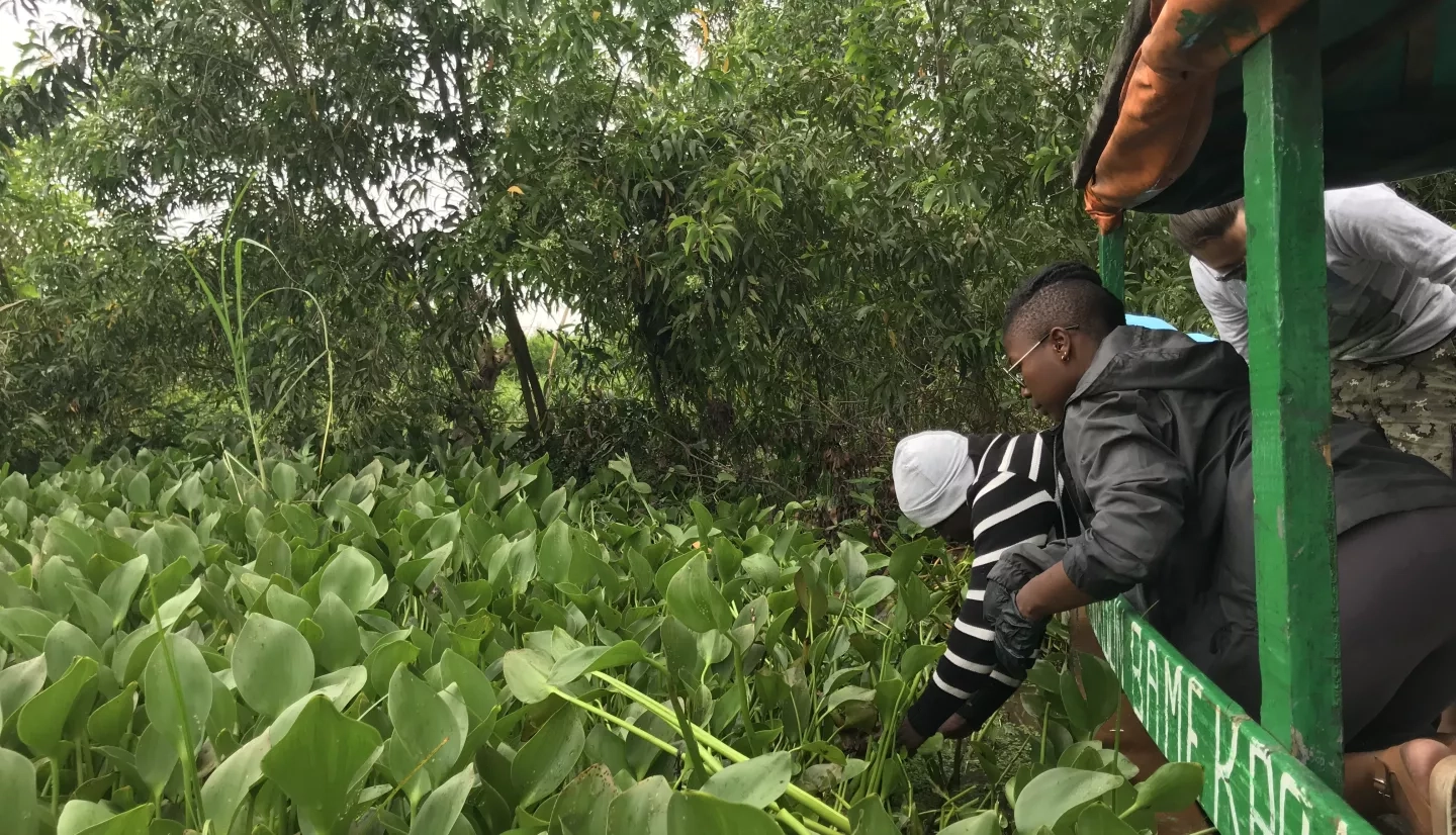
Local companies and scientists in Benin are increasing their use of earth science information to manage forests and water resources. The invasive water hyacinth plant grows aggressively in Benin and many countries in Africa, harming local activities in fishing, transportation and trade. The Beninese company Green Keeper Africa creates a business that brings jobs and environmental restoration by harvesting the water hyacinth and converting it into a product that can absorb oil-based pollution. Meanwhile scientists at the national remote sensing office are using satellite data to map mangroves and government-managed forests while reducing risks for illegal deforestation and fires.
Outputs & impact
Creation of capabilities to monitor and manage forest health, particularly of mangroves, for use by the government of Benin (SDG 15.1.1 & 15.2.1)
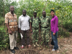
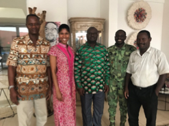
The National Center for Remote Sensing and Ecological Monitoring (CENATEL) in Benin contributes to government management of forests, response to forest fires and efforts toward afforestation. The US project team pursues technical exchange with CENATEL to consider options to apply methods using high resolution satellite data, machine learning and cloud-based data process to perform forest monitoring. PI Danielle Wood has joined CENATEL on several field visits of government-managed forests to learn how CENATEL already uses satellite-based earth observation data and positioning services to perform surveys and apply for management policies. Researcher Abigail Barenblitt of NASA GSFC provided CENATL with training on how to use Google Earth Engine for cloud-based analysis of satellite data. Through the project, the CENATEL teams aims to compare their standard methods for performing forest inventory with field surveys with recently available methods that apply high resolution data to train machine learning algorithms and improve the classification using medium resolution data.
Creation of Environmental Observatory information system to visualize invasive water hyacinth plant presence in water sources for use by Green Keeper Africa (SDG 15.8)
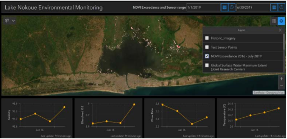
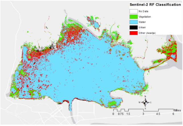
The online Environmental Observatory utilizes a combination of NASA/USGS Landsat data, drones, and water-based sensors to track the spread of the water hyacinth in Lake Nokoue, Benin. It visualizes historical and monthly changes in water hyacinth coverage and locations of harvest by Green Keeper Africa. Local scientists have shown that the varying salt levels have a major impact on the growth patterns of water hyacinth. The team is designing locally managed water sensors for salt, temperature and dissolved oxygen. Figure 2 shows a prototype of the Environmental Observatory. Graduate Research Ufoma Ovienmhada at MIT completed a doctoral thesis explaining methodologies that use satellite data to map time series change of traditional fish farming practices (acadja) and water hyacinth spread. She also found evidence that the detrimental water hyacinth presence has grown since 2000 (Figure 3). Her methodologies and findings have been integrated into the Environmental Observatory.