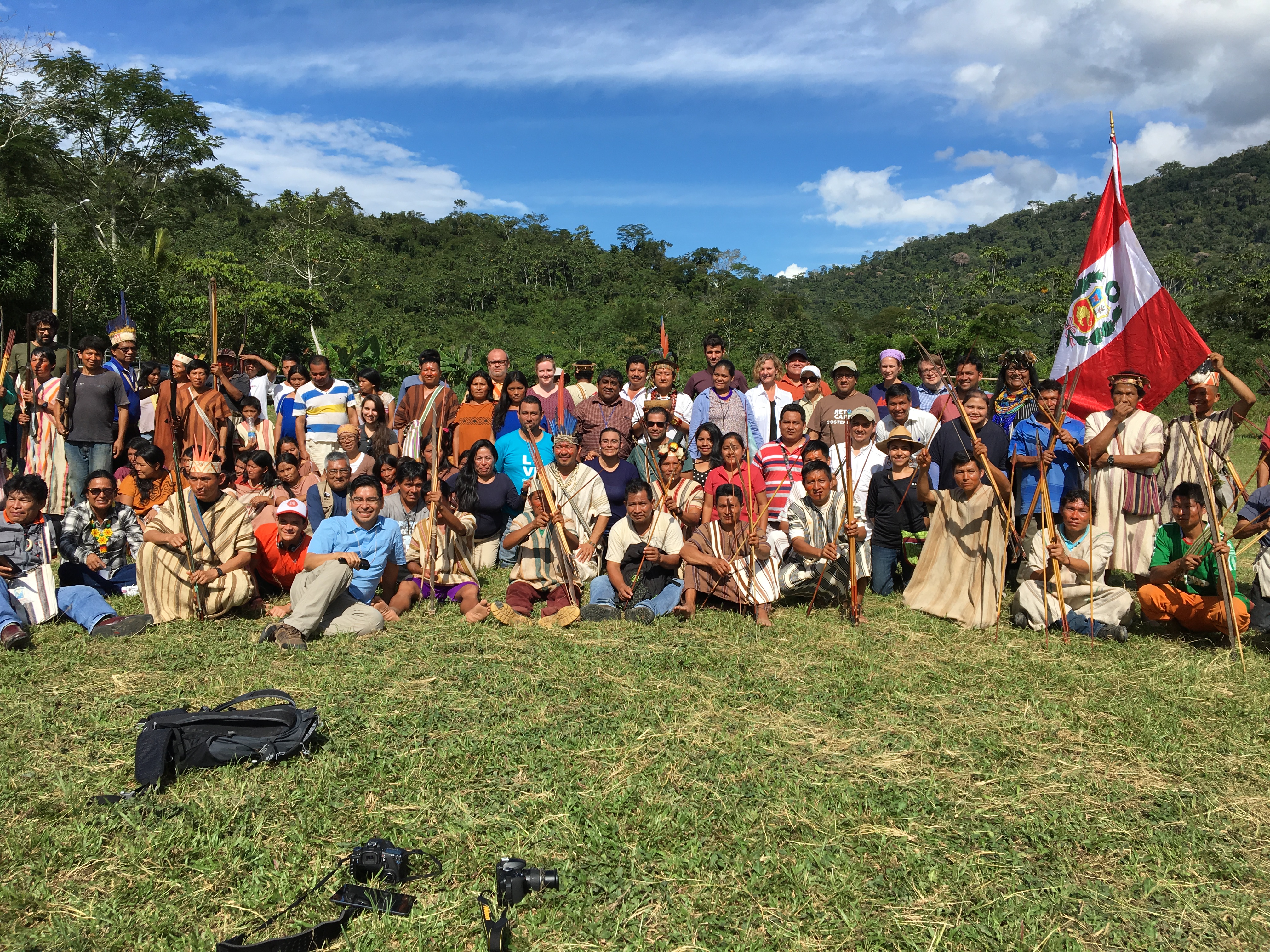
Indigenous peoples and local communities are key stakeholders for achieving sustainable land management and addressing global challenges of climate change and biodiversity loss. Traditional Indigenous groups represent about 370 million people globally and indigenous lands cover ~28% of Earth’s terrestrial surface and include 40% of the global protected areas. However, many indigenous lands are under threat from outside interests such as extractives (logging, mining), infrastructure projects, and illegal activities. Many Indigenous peoples are also losing cultural heritage and battling for recognition of their land and rights. This project aims to support Indigenous Peoples’ access to and use of Earth observations to defend nature and traditions.
EO data used: The project uses a range of data, including from Landsat, MODIS, active fire data from MODIS / VIIRS, GLAD alerts derived from Landsat, imagery from Planet, drone imagery, and points collected using GPS.
Key outcomes:
- Needs assessment framework for engaging Indigenous peoples and local communities for technical capacity building
- NASA ARSET Webinar series, “Earth Observations for Indigenous-led land management”
- Americas Academy Webinar series, “Engaging with Indigenous Peoples”
- Catalyzed the founding of the GEO Indigenous Alliance
- IUCN World Conservation Congress (2021) learning campus on “Supporting Indigenous Peoples’ use of Geospatial technologies to defend nature and tradition”
Partners involved:
- Achuar Nation of Ecuador
- Regional Office for the Development of Indigenous Peoples San Martín (ORDEPISAM), Peru
- Coordinator of Indigenous Organizations of the Amazon River Basin (COICA)
- Dedicated Grant Mechanism for Indigenous Peoples and Local Communities (DGM)
- NASA ESD Applied Sciences Capacity Building Program Indigenous Peoples Pilot
- Group on Earth Observations (GEO), AmeriGEO, GEO Indigenous Alliance
- NASA SERVIR Amazonia (starting)
Testimonial: “We have many challenges with colonizers in our territories who destroy our forests and resources, and technology can help us. Our communities are traditional, yes, but we can learn to use these tools through this project, and they will help us manage our lands.” -Awajún leader
Links:
- EO4IM project website
- GEO Indigenous Peoples’ Community of Practice
- Earth observations for Indigenous communities (2019)
- Using Earth observation for community-led land management (2018)
- Tradition meets tech: Can satellite data help indigenous peoples protect their lands? (2017)
- “What is EO4IM?” video
- EO4IM story map