Maine Ecological Forecasting II (Spring 2022)
Team: Tony Bowman (Project Lead), Jonathan Falciani, Christopher Matechik, Kelsey Preslar
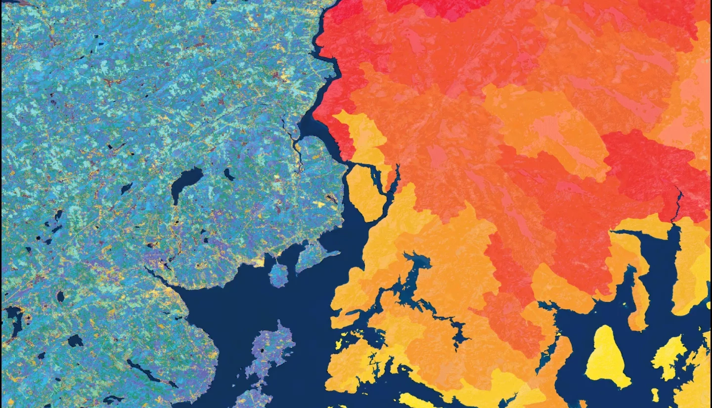
Summary: Major declines in Atlantic salmon (Salmo salar) populations have occurred alongside dam construction, shifting temperatures, and changing land use and land cover (LULC), restricting the last remaining wild population in the United States to Maine. In collaboration with the Maine Department of Marine Resources and the Downeast Salmon Federation, the NASA DEVELOP team utilized Earth observations to assess changes within the critical salmon habitat. The team used the Landsat 5 Thematic Mapper (TM), Landsat 8 Operation Land Imager (OLI), Sentinel-2 MultiSpectral Instrument (MSI), and National Land Cover Database (NLCD) to refine historical LULC maps from 1985 to 2021. The team also used elevation data from the Shuttle Radar Topography Mission (SRTM) and IDRISI TerrSet Land Change Modeler to forecast LULC change to 2040. From Terra Moderate Resolution Imaging Spectroradiometer (MODIS) land surface temperature (LST) data, the team derived a time series, summer averages, and anomaly maps between 2000 and 2021. The team analyzed LST in relation to LULC classes, specifically forest cover type, and in-situ stream temperature from the Spatial Hydro-Ecological Decision System (EcoSHEDS). LULC trends from 1985 to 2021 revealed a net transition of coniferous forest to other classes, such as deciduous forest and developed land. The team found an association between warmer temperatures and a greater presence of developed and mixed forest classes per 10,000 acres across Maine. These visualizations and analyses will aid partners in identifying riparian locations with ideal or unfavorable habitat conditions to inform Atlantic salmon population recovery efforts.


