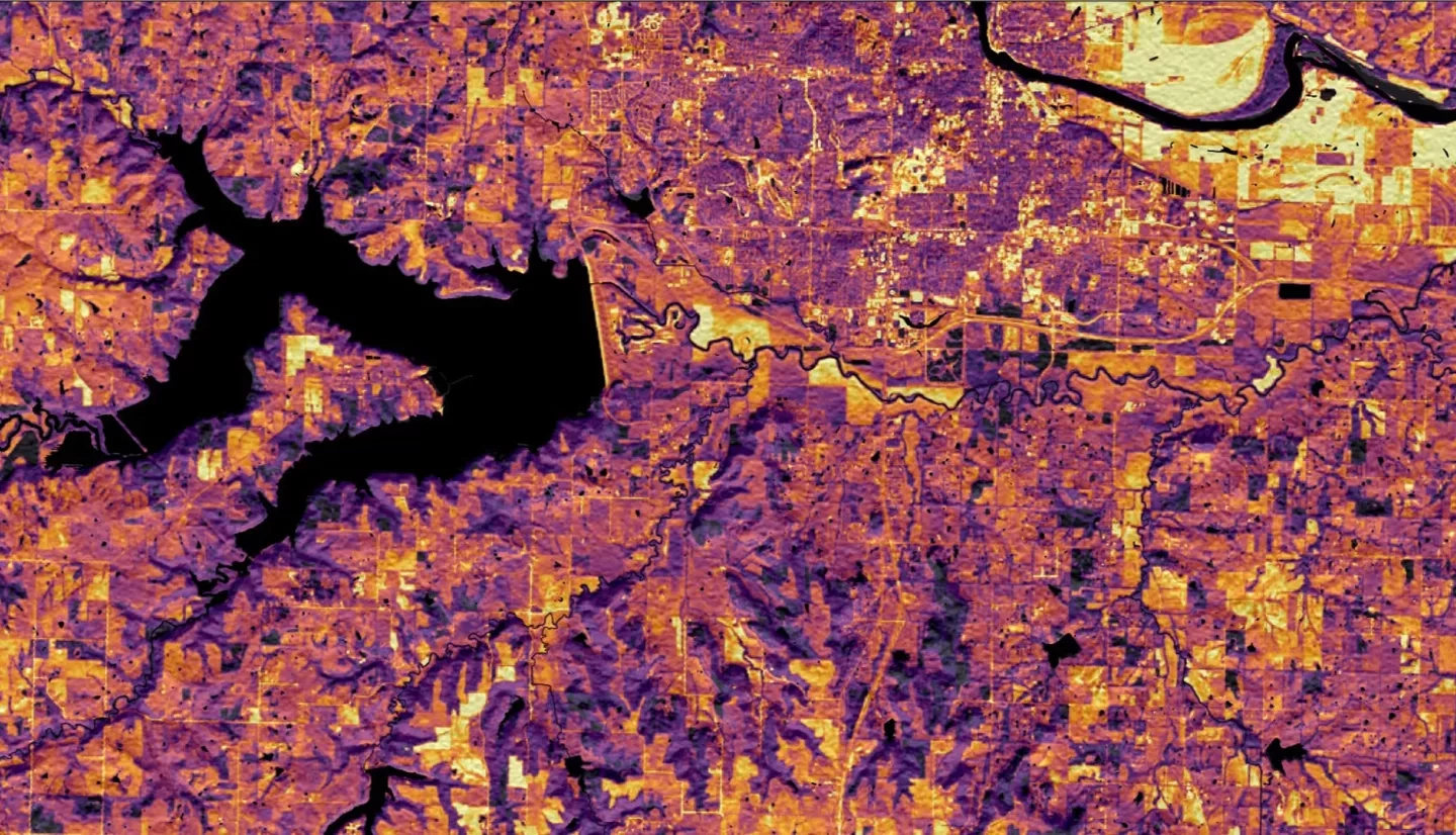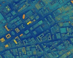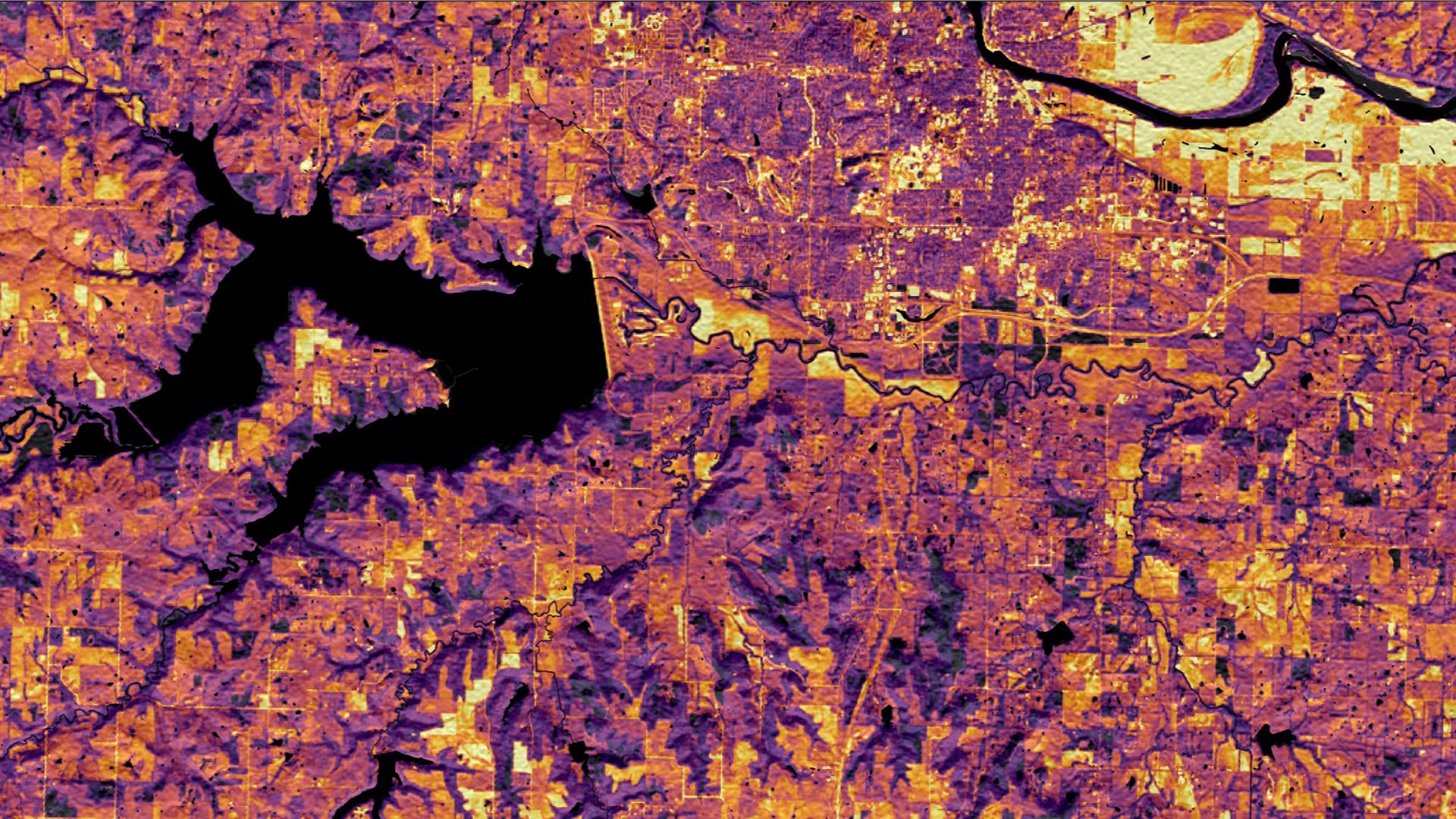
The City of Lawrence and Douglas County, Kansas, are working to reduce greenhouse gas emissions and achieve 100 percent renewable energy. The NASA DEVELOP team used Shuttle Radar Topography Mission (SRTM) and LiDAR elevation data along with Landsat 8 Operational Land Imager (OLI) surface reflectance data and National Agriculture Imagery Program (NAIP) aerial imagery in order to create a solar insolation map, which identifies areas of high solar energy potential in both the City of Lawrence and Douglas County. Using this solar insolation product, the team created a solar panel site suitability map that incorporates factors such as land cover/use, building footprints, parcel ownership, floodplain extent, and protected land areas. This product both identifies solar potential and determines the most feasible and effective properties for the installation of rooftop solar panels and ground-mounted solar farms. Our team found that Douglas County, Kansas, receives an average solar insolation of 1,982 kilowatt-hours per square meter annually and building rooftops in Lawrence receive an average of 950 kilowatt-hours per square meter annually. Additionally, we found that Douglas County and Lawrence have a great capacity for solar power, with 30% of Douglas County’s land area and 52% of Lawrence’s building rooftop area being highly suitable for solar panel installation. The results of this project will be utilized by Douglas County to better understand the factors that dictate solar potential and suitability, enabling personnel to make informed decisions about the ideal placement of solar panels.
