Marin County Wildland Fires II (2023 Summer)
Team: Harrison Raine (Project Lead), Katherine Scott, Nikitha Shivakumar, Tiffany Mar, Anai Tene
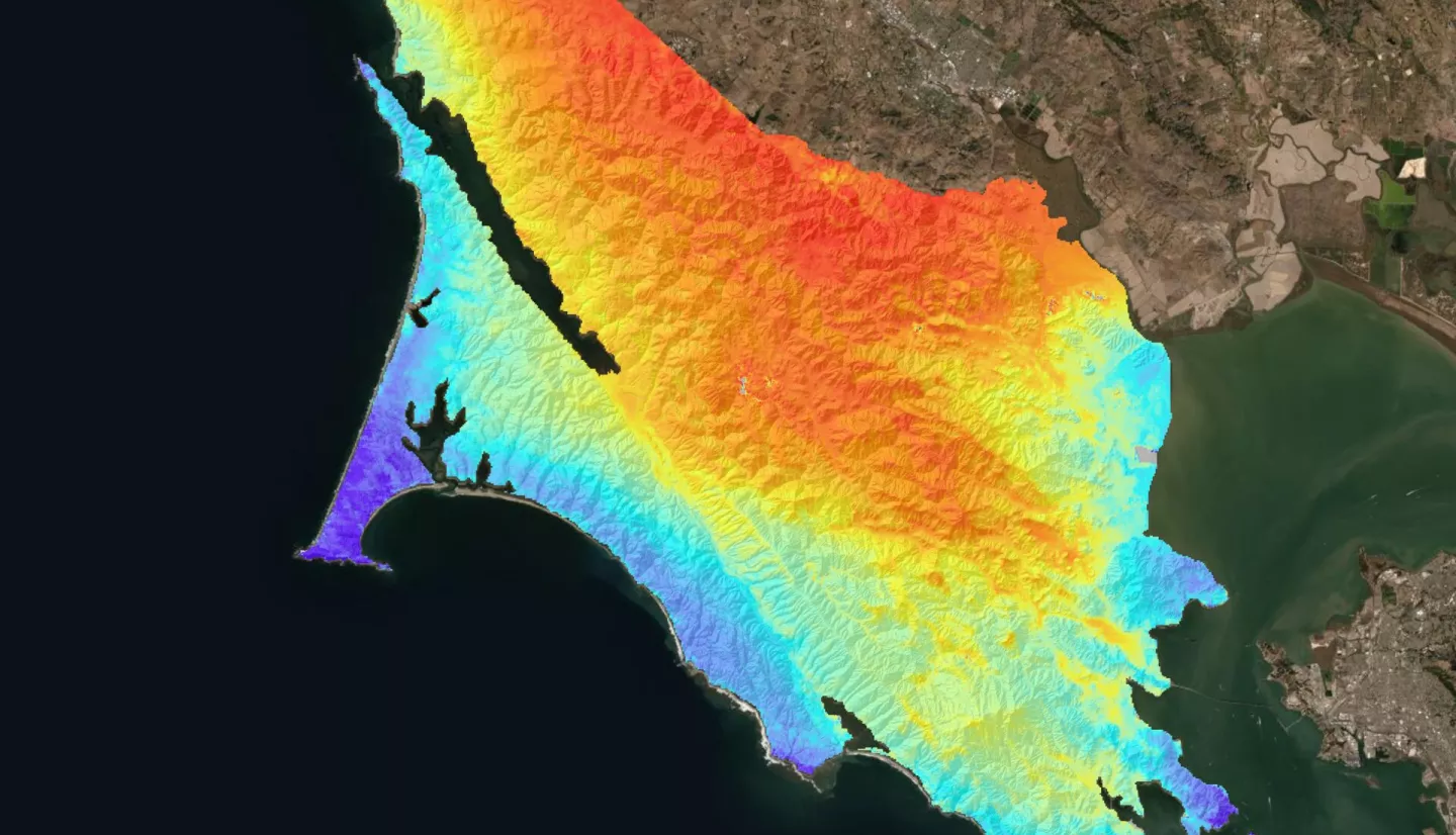
Summary: A future of increased wildfires requires greater integration of spatial analysis and local knowledge of emergency responders. We examine the application of a Potential Operational Delineations (PODs) framework for strategic pre-fire planning in Marin County. PODs are spatial units for wildfire management that combine predictive modeling and local firefighter expertise to identify potential control locations as unit boundaries and assess the difficulty of suppression within units. Additionally, this project explores the integration of road networks and social vulnerability to assess environmental justice in evacuation safety. This project constitutes a novel application of the PODs framework as it integrates expertise from Marin County senior firefighters with a Fireline Location Model (FLM) to achieve POD definition and uses a Suppression Difficulty Score (SDS) to rank each POD. The FLM uses network analysis and hydrologic modeling to identify key roads and ridgelines as boundaries and combines them with expert knowledge, in the form of workshops, to construct PODs. Once identified, PODs are classified using SDS, which includes processed inputs such as LiDAR-derived aboveground biomass, ECOSTRESS Evaporative Stress Index, land use cover type from Sentinel-2 Imagery, and a digital elevation model. Environmental justice for evacuation safety incorporated three key road metrics such as connectivity, travel area, and exit capacity, the Social Vulnerability Index from the Center for Disease Control, and cell coverage to determine a final Evacuation Difficulty Score. Results indicate a strong link between road networks as primary POD boundaries, with ridgelines and waterways as secondary and tertiary locations. Specifically, we find 78.5% of expertise-identified POD boundaries align with FLM-determined boundaries. More validation is needed to support this process; however, initial results signal a feasible framework to integrate expertise and spatial analysis in local level strategic fire planning.
Related Impact