- Principal Investigator: Miguel Villarreal, USGS Western Geographic Science Center (mvillarreal@usgs.gov)
- Co-Investigator: Brian Ebel, USGS Water Mission Area-Earth System Processes Division (bebel@usgs.gov)
Wildfires increase flood and debris flow risk by increasing the fraction of rainfall reaching the soil surface and reducing the capacity of the soil to retain water. Post-fire reductions in plant-water use can lead to increases in post-fire soil moisture, causing elevated hydrologic responses and amplifying hazard risks. These processes vary spatially, limiting our ability to predict where and when flooding will occur after wildfire. Incorporating soil moisture conditions into runoff forecast models can help to generate more accurate model predictions of the timing and volume of runoff.
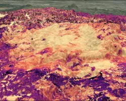
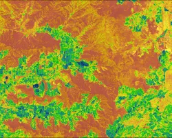
Our study uses Synthetic Aperture Radar (SAR) and other multispectral and thermal satellite data to map post-fire soil-moisture conditions that contribute to flooding and soil loss. We are developing geospatial decision support tools to better forecast flood hazards from satellite image sources using a network of real-time, in-situ soil moisture measurements located through the burned area.
The results of this study will help to improve regional flood forecasting models and provide natural resource managers with map products to support post-fire management and watershed restoration decisions.
Related Impact