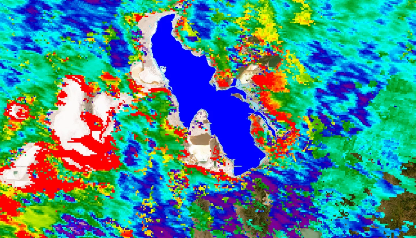
Great Salt Lake Health and Air Quality (2023 Spring)
Team: Piper Christian (Project Lead), Fiona Summers, Yoana Vargas Magana, Andrea Delgado
Summary: Water flow into the Great Salt Lake (GSL) has declined rapidly over the last forty years due to human withdrawals and climate change. As a result of declining lake levels, over 50% of the lakebed is now exposed, which poses a risk for increased frequency and intensity of dust storms across Northern Utah. In addition to using ground sensor environmental data and demographic data, we utilized satellite imagery from Terra and Aqua MODIS, Sentinel-5P TROPOMI, CALIPSO CALIOP, Suomi NPP VIIRS, and Landsat 5 TM, 7 ETM+, and 8 OLI and TIRS to quantify the relationship between lake desiccation and dust, and the impact of pollution on communities surrounding the GSL. By plotting changes in lake surface area against aerosol optical depth (AOD) over our study period (2010-2022), we found an inverse relationship (R2 =0.3423) between lake surface area and dust levels. We also conducted a vertical feature mask and extinction coefficient plot, from which we identified aerosol type as polluted dust with a layer thickness of 5.5 km at 200-meters from the ground during dust events, an elevation considered hazardous to human health. Lastly, we created bivariate choropleth maps of the census tracts most vulnerable to AOD (a proxy for PM2.5 from dust), NO2, and HCHO (a precursor to ozone). Our findings revealed that declining lake levels are associated with an increase in intensity of dust events, which will particularly impact census tracts on the west side of Salt Lake City and along the I-15 corridor. Project end products support partner needs by informing targeted air monitoring efforts, lakebed management practices, and advocacy efforts for GSL stewardship.
