Imagen
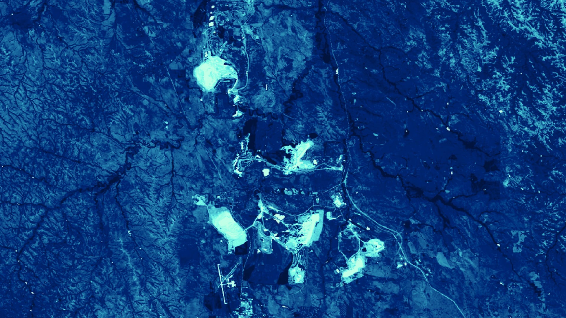
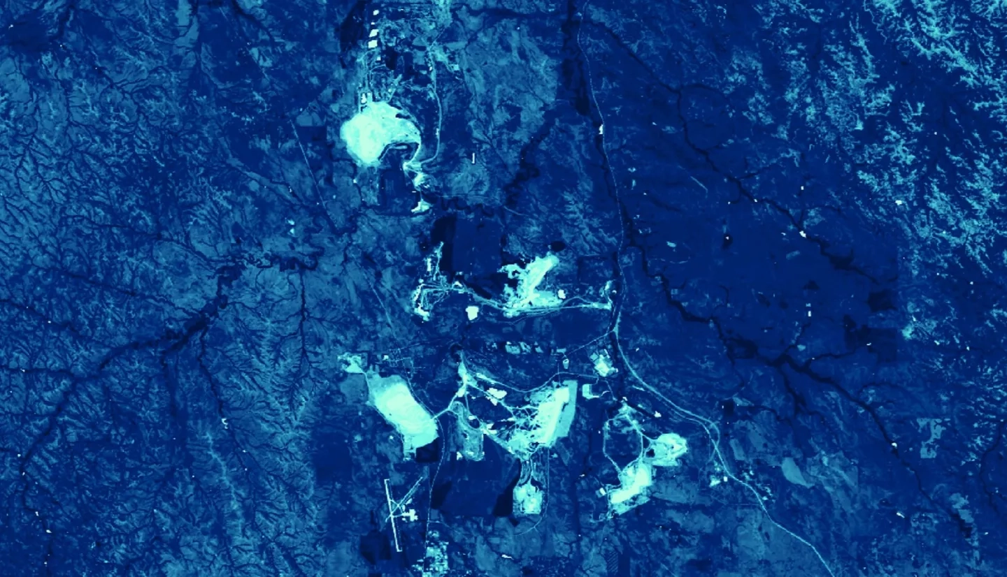
Coal mines in the Powder River Basin of Wyoming account for approximately 41 percent of coal production in the United States, causing significant land disturbances. Without proper reclamation practices, orphan mines create barren, unstable lands unlikely to recover. Where mines have been successfully reclaimed, human and natural communities have benefited from reconnected hydrology, functioning ecosystems, and economic opportunities, but the financial decline of the coal industry has raised concerns about the stability of long-term reclamation efforts. The Powder River Basin Transportation & Infrastructure team partnered with the Powder River Basin Resource Council and the Western Organization of Resource Councils to create a Coal Mining Assessment Tool (CMAT) in Google Earth Engine to monitor the impacts and reclamation efforts of coal mines in the basin. The tool incorporates Earth observations from Landsat 5 Thematic Mapper (TM), Landsat 7 Enhanced Thematic Mapper Plus (ETM+), and Landsat 8 Operational Land Imager (OLI), and utilizes the LandTrendr change detection algorithm to assess land disturbance. CMAT outputs include land disturbance maps and charts showing how land cover, Normalized Difference Vegetation Index (NDVI), Normalized Difference Water Index (NDWI), and tasseled cap transformations have changed from 1985 to 2018. In a case study of three neighboring mines, results showed that the mine nationally recognized for its reclamation practices recovered land up to 78 percent faster than its neighbors. The ability to visualize and assess how coal mining and reclamation has progressed over the study period will allow partners to better understand and advocate for regional reclamation practices.