Jefferson County Ecological Conservation (2024 Spring)
Team: Cassidy Bromka (Project Lead), Rosemary D’Andrea, Matthew Stewart, Kevin Jo
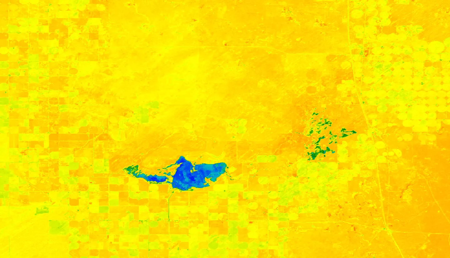
Summary: Wetlands in the Camas National Wildlife Refuge and Mud Lake Wildlife Management Area, a rare landscape feature in the Intermountain West, are crucial for migratory birds along the Pacific Flyway, yet these wetlands have experienced a noticeable decline in extent and inundation over the last 40+ years. Partners at the U.S. Fish and Wildlife Service and Idaho Department of Fish and Game have ongoing restoration efforts that are yet to be quantified. To assist these partners, we used NASA Earth observations to quantify change in wetland extent and determine if the restoration projects met the intended impact. The QA_PIXEL band from Landsat 5 Thematic Mapper (TM) and Landsat 8 Operational Land Imager (OLI) was used to identify water. Landsat 8 OLI imagery was also used for classifying landcover in ArcGIS Pro for 2016 and 2020 and to forecast landcover in 2060 using TerrSet’s Land Change Modeler. We also compared lidar data from 2011 and 2019 to detect changes in vegetation height, ground elevation, and surface water levels, and Sentinel-2 Multispectral Instrument (MSI) imagery to detect changes in vegetation health. Classification results indicated overall accuracies over 84% and Kappa indices above 0.80, well surpassing random classification performance. From 2016 to 2020 our classifications showed an 825 acre increase in wetland extent, and our forecasted 2060 model showed a 2795 acre decrease. Combining our partners’ knowledge of the area with our analyses, we created a remote sensing workflow to enhance future monitoring and decision-making. This study demonstrated the feasibility of NASA Earth observations in quantifying wetlands, informing restoration projects, and supporting avian conservation


