SAR-CBC is an AmeriGEO project that aims to build the capacity of Latin American partner institutions to apply Synthetic Aperture Radar (SAR) data to the following topics AmeriGEO societal benefit areas:
- Agricultural monitoring
- Disaster resilience
- Ecosystem sustainability
- Water resource management
What has been done:
- Aug. 2019: 4-day training of Ecosystem Monitoring with SAR to communities in Colombia
- Jan. 2020: 4-day SAR training on "Integrating Synthetic Aperture Radar (SAR) Data into Disaster Monitoring" to communities in Ecuador
- Since Oct. 2020: edX course on SAR for Hazards, which the University of Alaska Fairbanks hosts in support of this project
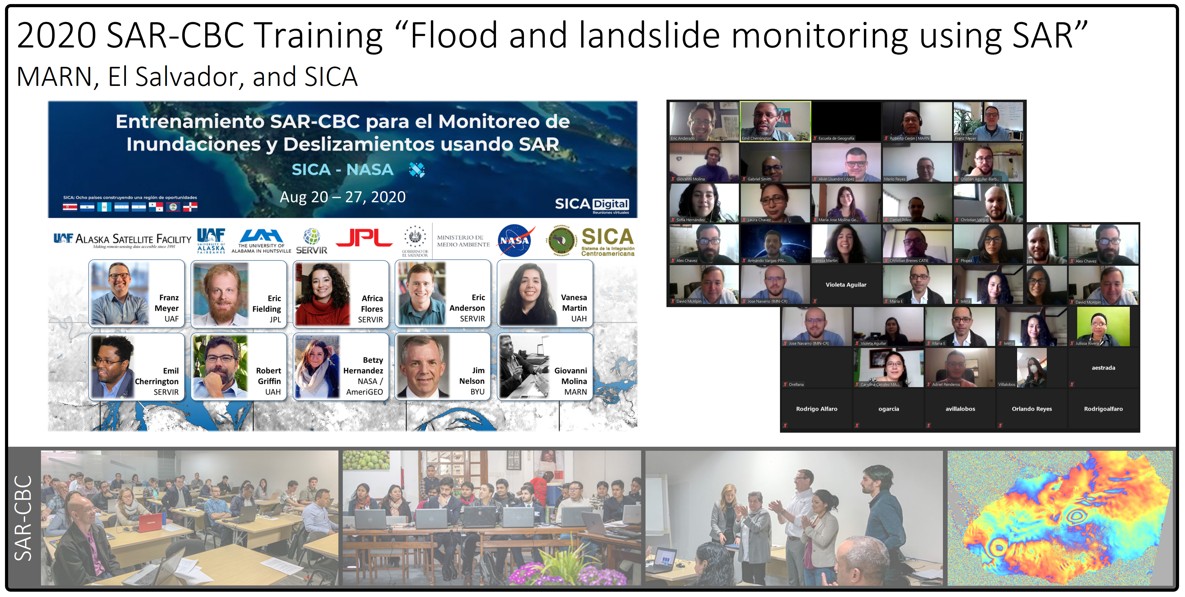
- Aug. 2020: Week-long two-track training about SAR for Landslides for El Salvador's Ministry of the Environment in August of 2020 (approx. 140 participants)
- Since Spring 2021: Scientific mentorship of SAR-related projects, by Ecuadorian scientists and students
- Spring 2021: Training on Flood Monitoring using SAR to the Inter American Academy
Impacts / Outcomes:
- MOU signed between University of Alabama in Huntsville & Universidad Central de Ecuador to formalize SAR-related research about Rio Coca erosion, to support decision-making
- Connected to the GEO-DARMA initiative’s aim of "fostering the use of Earth observation (EO) data to support disaster risk reduction, providing more accurate risk data for better informed decision making."
- 4 AmeriGEO SBAs covered
- 5 in-person or virtual training activities completed
- 3 partnering AmeriGEO countries
- edX certificate program with over 3,000 students
- MOU signed between University of Alabama in Huntsville & Universidad Central de Ecuador to formalize SAR-related research about Rio Coca erosion, to support decision-making
- Connected to the GEO-DARMA initiative’s aim of "fostering the use of Earth observation (EO) data to support disaster risk reduction, providing more accurate risk data for better informed decision making."
Testimonial: “...Since we can easily have landslides, when it’s cloudy, the ability to use SAR will be beneficial, and we will have many opportunities to take advantage of the knowledge, techniques, and software this training provided. Not only has our capacity in El Salvador been strengthened, but also of the institutions from other countries which participated.” - Luis Menjivar, Director of El Salvador's Environmental Observatory
EO data used: ALOS PALSAR, Sentinel-1, Shuttle Radar Topography Mission (SRTM)
Links:
- SAR-CBC: Your entry point for Radar Remote Sensing
- The main website for SAR-CBC
- ASF Data Search Verte