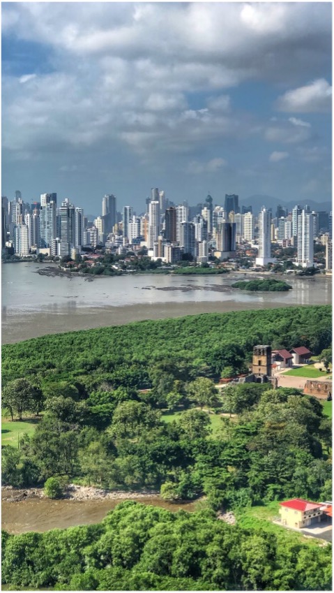
The country of Panama is surrounded in part by two oceans and has mountain ranges along the west and east, resulting in a wide range of climatic conditions. The diverse climate conditions result in a variety of vegetation throughout the country and make Panama one of the most biodiverse countries in the world. Panama is responsible for reporting on Sustainable Development Goal (SDG) 15.2.1, sustainable forest management. The purpose of this project is to develop a Sustainable Forest Management and Information System (SFMIS) tool for addressing this SDG, which consists of tracking net forest area change for the country using Earth Observation data. The tool is open source and will be adaptable to other countries in the future.
OUTPUTS & IMPACT
Development of a tool that uses optical and radar satellite data to determine forest cover and trends in forest cover change on a yearly basis to inform on SDG 15.2.1.
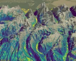
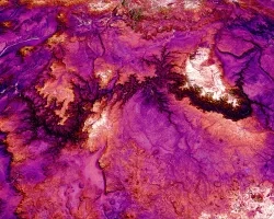
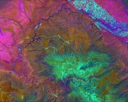
A methodology for classifying landcover into forest and nonforest was developed using Random Forest, a decision tree-based classification approach. The algorithm runs with optical and synthetic aperture radar (SAR) data in addition to ancillary data such as the Normalized Difference Vegetation Index (NDVI), slope, and elevation. Yearly composites were created from SAR data and cloud-free optical data to generate forest/non-forest (FNF) classifications. The results were validated using a reference landcover map generated by the Ministry of the Environment of Panama.
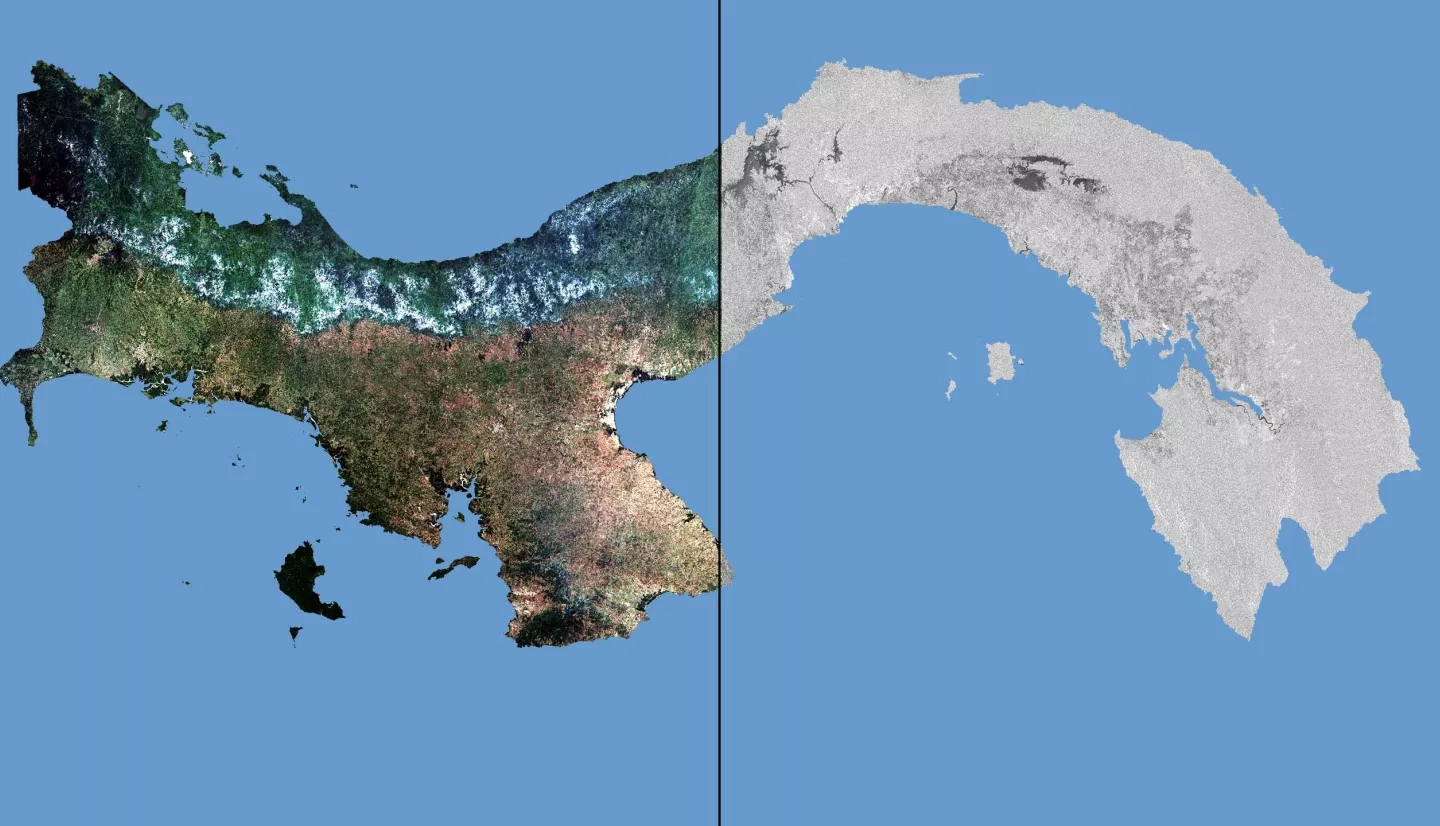
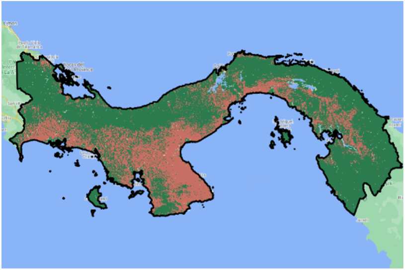
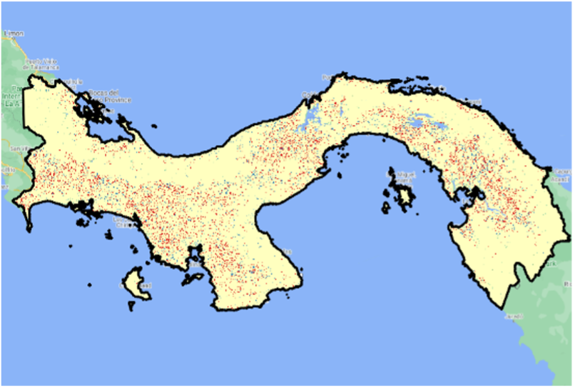
Forest cover classifications based on Sentinel-2 MSI data were found to have slightly higher accuracy than Landsat-8 OLI data. A combined classification based with both optical sensors has better overall accuracy than either of the individual sensors because of the better temporal coverage. Figure 2a shows a FNF classification based on combined Landsat-8 and Sentinel-2 data for 2020 and Figure 2b shows the FNF difference compared to a reference forest/nonforest landcover classifications from 2019.
This FNF classification was used as a mask to identify subclasses such as deciduous and evergreen forests, shrub, and herbaceous vegetation, mangroves, agriculture, urban areas, and open water across Panama using SAR images.
Creation of a Sustainable Forest Management and Information System (SFMIS) Tool for use by the Ministry of the Environment of Panama (SDG 15.2.1).
The SFMIS Tool calculates current and historical forest cover and determines trends in forest cover change through time. The tool can be used to inform important decisions about where reforestation efforts as well as deforestation prevention efforts need to be focused. The tool also includes precipitation and temperature data and climate change projections for Panama to help identify areas that are most vulnerable to climate variability and change.
The utility of SFMIS will extend beyond informing on SDG 15.2.1 through added capabilities for identifying a larger number of classes beyond forest/non-forest cover as well as analysis of climate change projections and its impacts on different ecosystems within the country.
Related Impact