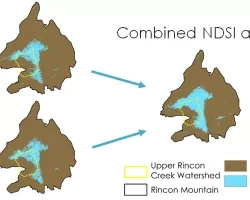
Imagen
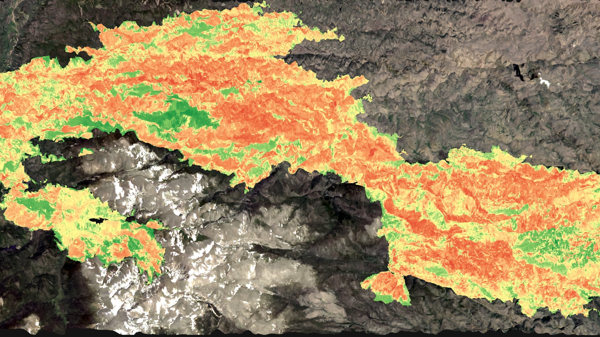

Along the Colorado Front Range, the importance of forest management has gained significant attention due to uncharacteristically intense fires that burned late in 2020. The Cameron Peak Fire, the largest in Colorado’s recorded history, and the CalWood Fire collectively burned an estimated 219,019 acres from August through December of 2020. The partners (Coalition for the Poudre River Watershed, Colorado State Forest Service, the Ben Delatour Scout Ranch, The Nature Conversancy, the Colorado Forest Restoration Institute, and Colorado State University) are interested in understanding the effectiveness of previous forest treatments in reducing fire risk within the Cameron Peak Fire and the CalWood Fire. Firstly, a forest treatment dataset was collated from pre-existing datasets by reclassifying over 29,000 treatments, which occurred across the Colorado Front Range between 1970-2020. Secondly, using Earth observations from Landsat 8 Operational Land Imager (OLI) and Sentinel-2 MultiSpectral Instrument (MSI), burn severity was mapped using three burn indices for each of the two fires and compared to field-derived soil burn severity plots. Thirdly, a total of 35 topographic, disturbance, forest structure, and treatment predictor variables were generated across the fire regions. Finally, random forest algorithms were utilized to assess relationships between predictor variables, treatment categories, and burn severity. Model results indicate that elevation and distance to treatment edge were the primary drivers of burn severity for the Cameron Peak Fire. In contrast, model results indicate that fire area and forest canopy cover were the primary drivers of burn severity for the CalWood Fire. Further analysis of these variables paired with field data is necessary to understand the relationship between burn severity and treatments to guide future restoration efforts, improve forest resiliency, and mitigate fire risks.