Imagen
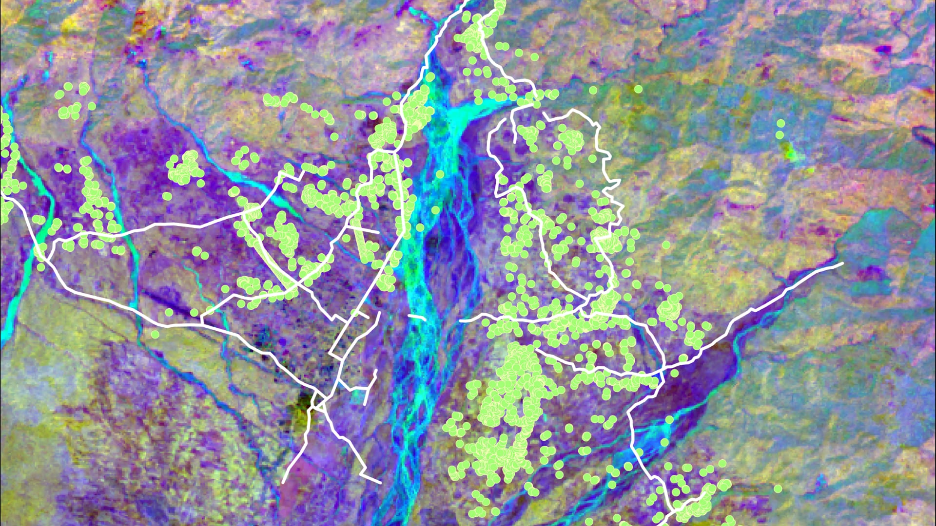
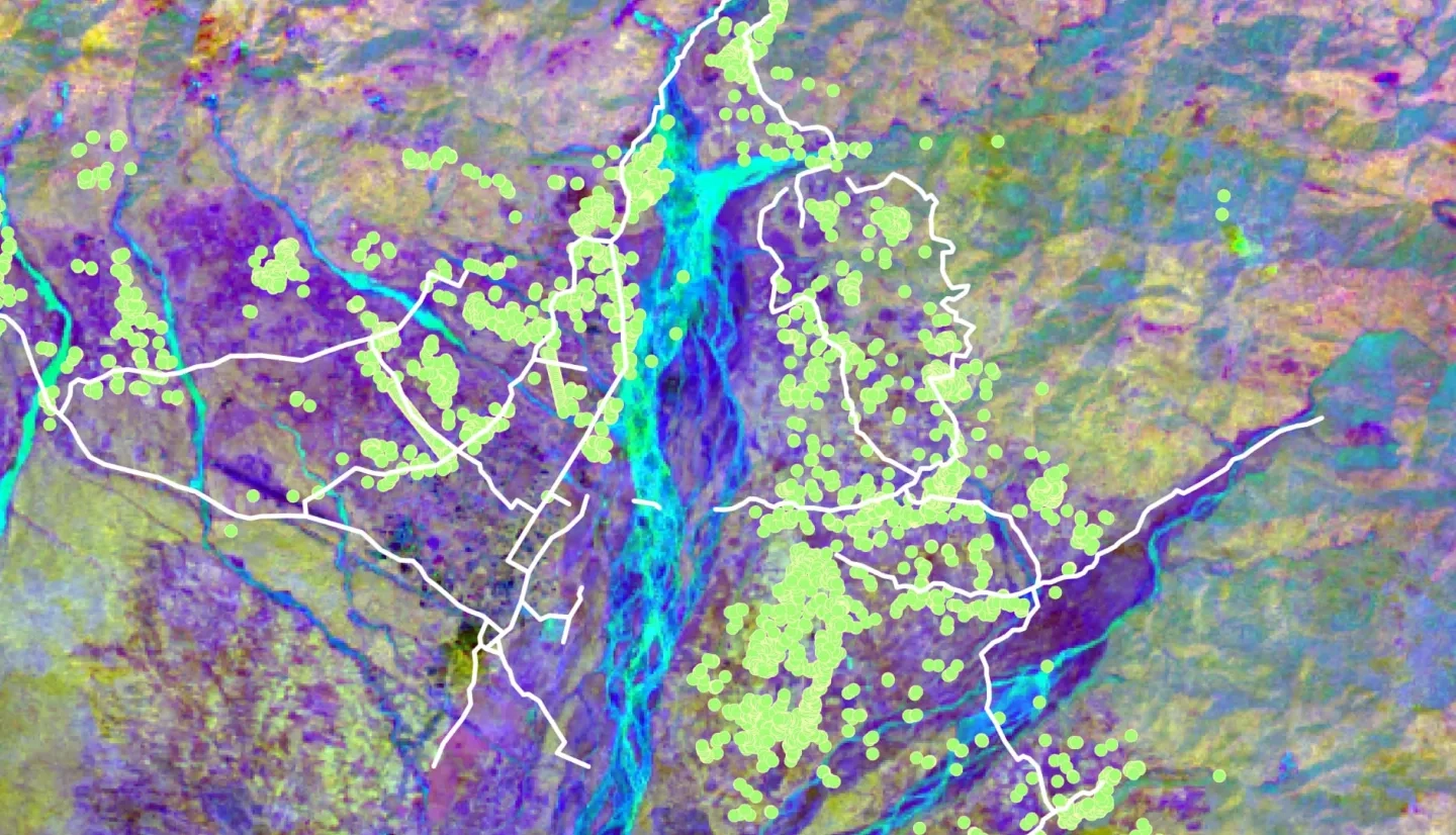
Habitat loss of the endangered Asian elephants (Elephas maximus) accompanied by rapid urbanization has contributed to the rising Human-Elephant Conflict (HEC) crisis in southern Bhutan. This poses a serious threat to the survival of Asian elephants, a keystone wildlife species essential for maintaining Bhutan’s forest ecosystems and rich biodiversity. With expanding urban areas, HECs present challenges to conservation efforts in the region. The team partnered with the Bhutan Foundation, the Bhutan Tiger Center, and Bhutan Ecological Society to help mitigate this issue using remote sensing technology and NASA Earth observations. The team refined Land Use and Land Cover (LULC) maps for 2010-2019 generated in previous terms and elephant corridor maps to include information on human settlements using Landsat 5 Thematic Mapper (TM) and Landsat 8 Operational Land Imager (OLI) data. We generated LULC change maps and forecasted the LULC to 2030 using TerrSet Land Change Modeler, providing insights into future elephant habitat suitability in southern Bhutan. The results indicated that built-up areas increased approximately 688.9% from 2010 to 2019 and the forecasted 2030 LULC also predicted an increase in built-up areas compared to 2019. Suitable corridors in Gelephu intersect cultivated and built-up areas, indicating close proximity of elephants to humans and a need to research alternative corridor strategies. The end products from this project will aid partner organizations in decision-making processes in urban planning and future conservation strategies that include the refined placement of biological corridors to aid elephant movement and reduce the risk of HECs.