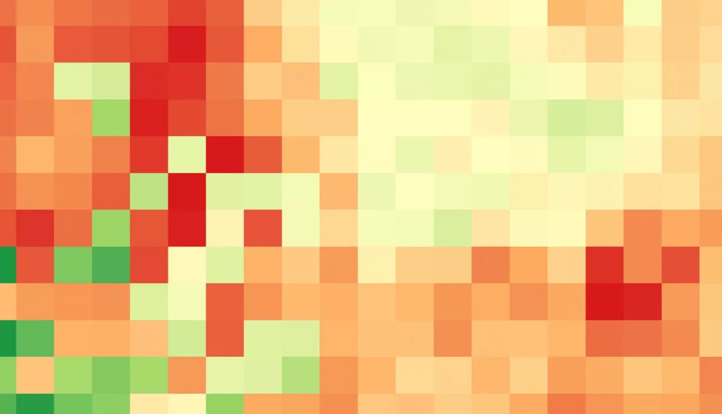
Many regions of Kenya historically and regularly experience severe drought, necessitating a robust and well-informed response to drought events to protect agricultural production and minimize drought impact on food security. The National Drought Management Authority currently publishes monthly Early Warning Bulletins that depend on Moderate Resolution Imaging Spectroradiometer (MODIS) indices and are not sufficient in assessing current drought status nor predicting its trajectory. This project utilized Soil Moisture Active Passive (SMAP) L-band Radiometer, Aqua and Terra MODIS, and Global Precipitation Measurement Core Observatory (GPM) Dual-Frequency Precipitation Radar (DPR) data as inputs into the Regional Hydrologic Extremes Assessment System (RHEAS). This model supports an unlimited number of variables, as it relies on a land surface model that can be easily customized, allowing data from multiple resolutions to be used without the need for preprocessing. Using inputs from the Regional Centre for Mapping of Resources for Development, the team created multiple drought time series to better assist stakeholders in implementing drought mitigation and adaptation measures. Initial results showed that drought indices that cover a longer time period provided a clearer trend of drought conditions by county. The team also provided partners an initial analysis of the indices produced and a story map derived from the time series. Follow on work will validate these products and create training documents for end users.
