Description
February 13, 2018 - February 20, 2018
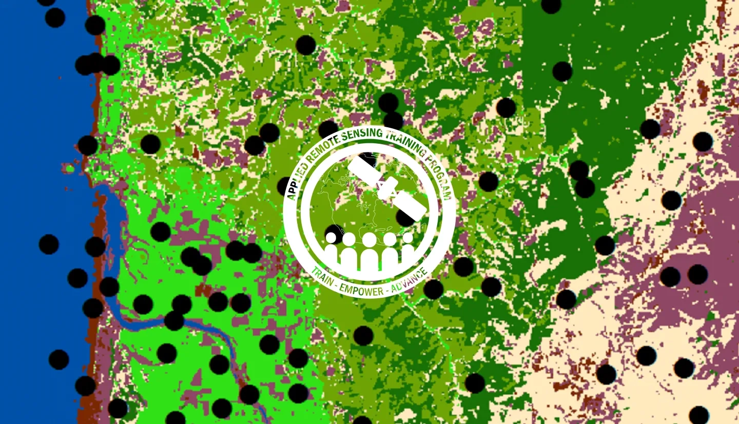
In last year’s ARSET Advanced Webinar: Land Cover Classification with Satellite Imagery, attendees learned the basic steps to create a supervised land cover classification. The next step to using land cover classifications is being able to evaluate the performance of a land cover map using accuracy assessments. This training will equip attendees with the skills necessary to conduct an accuracy assessment on a land cover map and identify which classes might be misrepresented.
- Complete Sessions 1 & 2A of Fundamentals of Remote Sensing or equivalent experience
- Complete the Advanced Webinar: Land Cover Classification with Satellite Imagery
- Download and install ArcGIS 10.4 or higher and all accompanying software
- Download and install Excel 2011 or higher
Attendees that do not complete prerequisites may not be properly prepared for the pace during the training.
By the end of the training, attendees will be able to:
- Conduct an accuracy assessment on a land cover map
- Understand how to create and use reference data
- Become familiar with sample designs for accuracy assessment
- Develop and interpret an error matrix
This training is primarily intended for local, regional, state, federal, and international organizations interested in assessing vegetation condition using satellite imagery.
- Two 2-hour sessions
An overview of accuracy assessment, identifying reference data, and sample designs and methods.
Materials:
Materiales en Español:


