Description
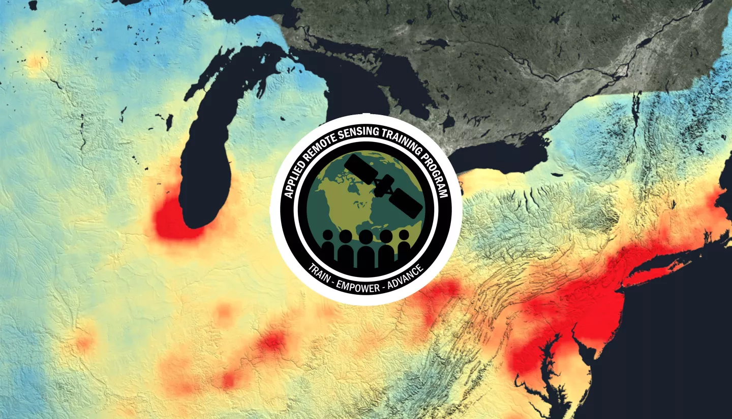
Host: U.S. EPA, in partnership with the NASA Applied Remote Sensing Training Program (ARSET).
Instructors: Melanie Follette-Cook, Pawan Gupta, Carl Malings, Sarah Strode
This is an in-person training to be held March 21-23, 2023, in Triangle Park, Raleigh-Durham, NC.
This training will cover the applications of Earth observations for decision making activities. Lectures & exercises will highlight applications related to air quality monitoring, forecasting, smoke, fire, PM2.5 monitoring, image interpretation, and data access for modeling efforts. To conclude the training, participants will complete a case study that incorporates all data portals, tools, and relevant data. Participants will apply this to properly identify, track, and measure air quality events of their choosing. This will also allow them to assess the strengths and weaknesses of these data products.
There is no registration fee, but ARSET does not provide support for transportation, housing, or any other logistics.
Handouts:
AgendaComputer and software Requirements Data and Scripts Case Study Document
Air quality and Health professionals and decision makers from local, state, and federal agencies, NGOS, and the private sector. Training participants will be selected through a registration/application process and priority may be given to applied end users.
Part 1: Introduction to Satellite Air Quality Measurements & Tools
8:00-8:30 - Registration
8:30-9:00 - Opening, Introductions, & Logistics
9:00-9:30 - Review of Current EPA Satellite Applications
9:30-10:00 - Introduction to Satellite Remote Sensing
10:00-10:30 - Satellite Imagery, Data Formats, and Access
10:30-10:45 - Break
10:45-11:15 - Exploring Satellite Imagery Using NASA Worldview & Giovanni
11:15-12:00 - Introduction to GEO sensors and exploring Aerosol Watch
12:00-1:00 - Lunch
Part 2: Fires, Smoke, and Trace Gases
1:00-2:15 - Satellite-Based Fire Products: Methods, Data Access, and Applications
2:15-2:45 - Smoke Monitoring from Space
2:45-3:00 - Break
3:00-4:00 - Remote Sensing of Trace Gases and Products
4:00-4:45 - Trace Gases Data Access & Visualization
4:45-5:00 - Review & Discussion
Presentation Slides:
- Day 1 - Overview
- Day 1 - Fundamentals of Satellite Remote Sensing
- Day 1 - Satellite Imagery and Data Formats
- Day 1 - NASA Worldview and NOAA JSTAR
- Day 1 - NOAA Aerosol Watch
- Day 1 - Satellite-Based Fire Products
- Day 1 - Smoke Monitoring from Space
- Day 1 - Remote Sensing of Trace Gases
- Day 1 - Trace Gas Data Access & Analysis
- Day 1 - Tropospheric Emissions: Monitoring of POllution (TEMPO)
Part 3: Estimation of Ground Level PM2.5 Concentrations with Satellite Data
8:30-9:00 - Q&A and Review of Day 1
9:00-10:00 - Aerosol Observations from Satellites: Theory & Existing Products
10:00-10:15 - Download Level 2 Aerosol Data
10:15-10:30 - Break
10:30-11:30 - Theoretical Basis for Converting Satellite Observations to Ground- Level PM2.5 Concentrations
11:30-12:00 - Conversion of Satellite Aerosol Measurements to PM2.5 Air Quality
12:00-1:00 - Lunch
1:00-2:00 - Using Python Scripts to Read, Map, and Extract Aerosol Data
Part 4: Satellite-Based Emissions and NASA GEOS
2:00-3:00 - Aerosol Products from Geostationary Satellites
3:00-3:15 - Break
3:15-3:45 - Satellite-Based PM2.5 Datasets
3:45-4:45 - Satellite-Based Estimations of Trace Gas Surface Concentrations/ Emissions
4:45-5:00 - Review & Discussion
Presentation Slides:
- Day 2 - Aerosol Observations from Satellites
- Day 2 - Downloading Level 2 Aerosol Data
- Day 2 - Converting Satellite Observations to Ground-Level PM2.5
- Day 2 - Aerosol Observations from Geostationary Sensors
- Day 2 - Satellite-Based PM2.5 Datasets
- Day 2 - Estimation of Emissions and Surface Concentrations
- Day 2 - VIIRS_NASA.zip
- Day 2 - MODIS_MAIAC.zip
Part 4: Satellite-Based Emissions and NASA GEOS
8:30-9:00 - Q&A and Review of Days 1 & 2
9:00-10:00 - NASA Forecasts and the MERRA-2 Reanalysis
10:00-10:15 - Break
10:15-11:15 - RSIG
11:15-12:00 - Capstone Notebook
12:00-1:00 - Lunch
Part 5: Case Study Analysis
1:00-1:30 - Tools and Resources for Case Studies
1:30-3:30 - Case Study Analysis in Groups
3:30-3:45 - Break
3:45-4:45 - Case Study Presentations and Discussion
4:45-5:00 - Training Review & Feedback
Presentation Slides:
- Day 3 - NASA Air Quality Forecasts and the MERRA-2 Reanalysis
- Day 3 - US EPA Remote Sensing Information Gateway (RSIG)
- Day 3 - Python Interface to RSIG (pyrsig)


