NASA’s Earth Applied Sciences Program is celebrating One Health Day 2021 as communities around the world look to NASA research and resources to inform decisions that address health threats shared by humans, animals and the environment. One Health Day is celebrated each year on November 3 to encourage the development of robust collaborations that foster dialogue across disciplines and geographies and expand research and program initiatives.
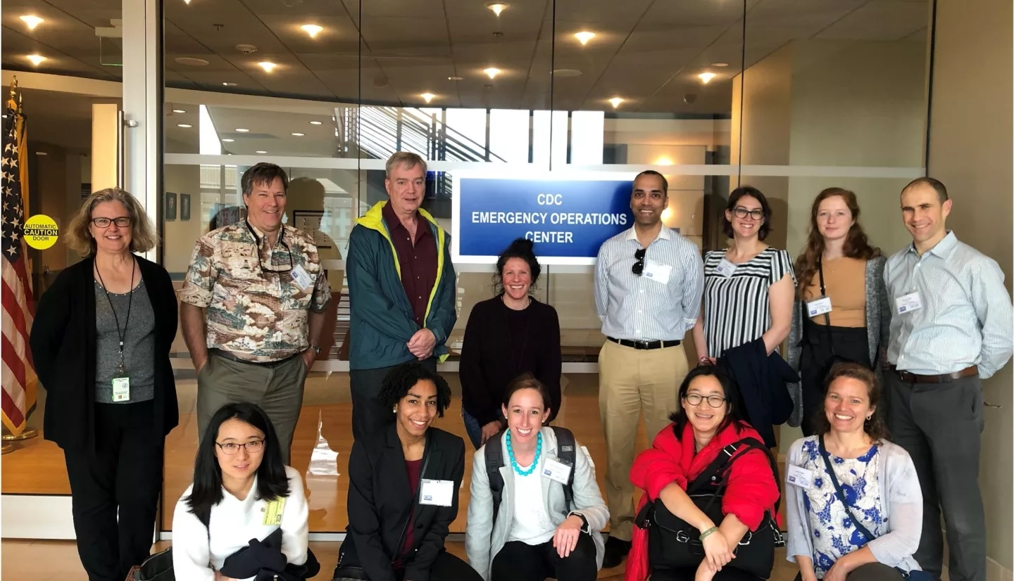
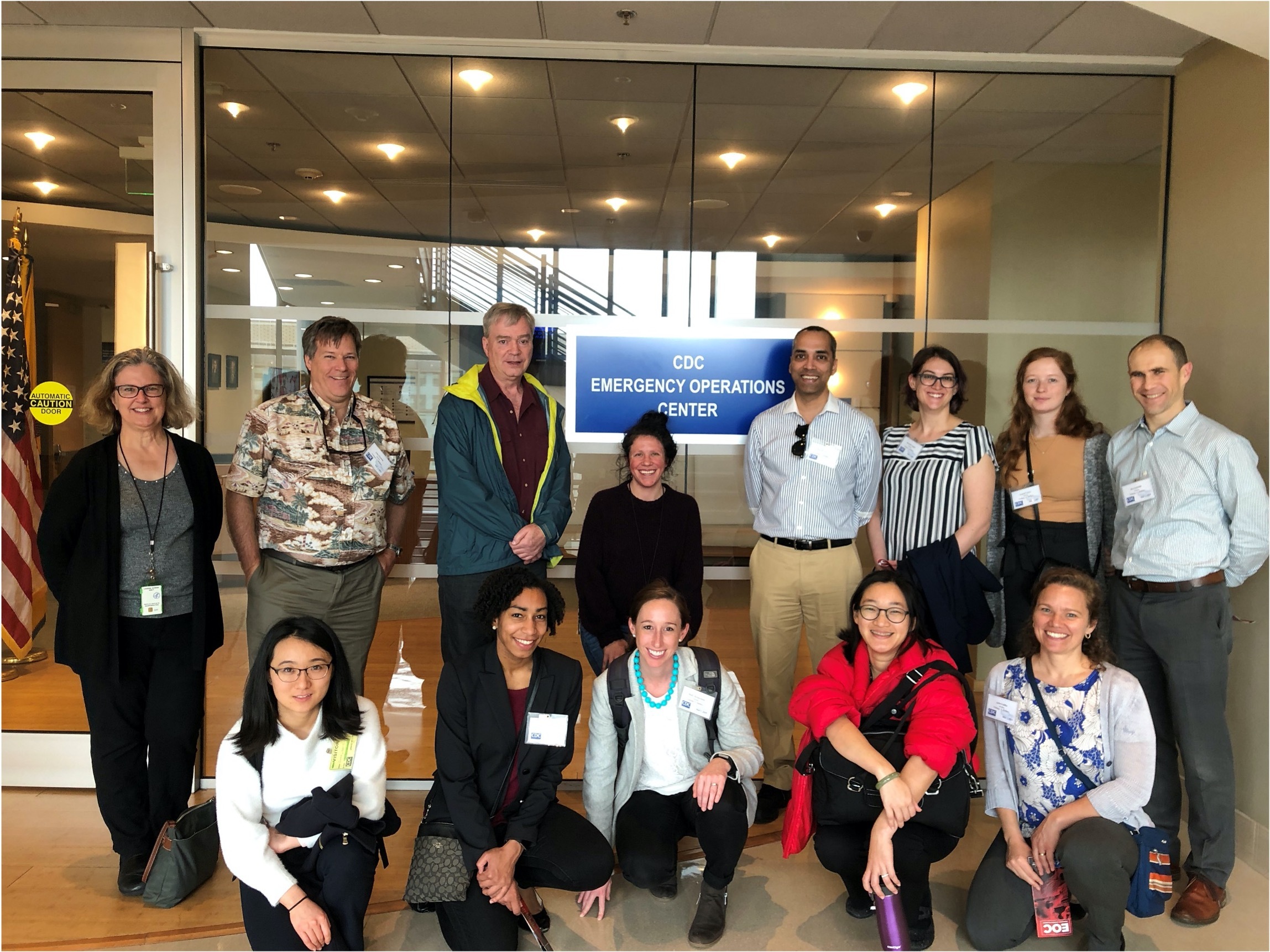
Using the One Health concept framework, NASA’s Earth Applied Sciences Program supports cutting-edge scientific research that integrates Earth observation data with on-the-ground data to examine real-time environmental health challenges that affect our communities. Two NASA-funded researchers supported by the Health and Air Quality program area are actively collaborating with national and international health agencies, like the Centers for Disease Control and Prevention (CDC), to integrate Earth observation data into public health surveillance programs.
Informing Public Health Disaster Response Decisions
As the end of the hurricane season approaches, the Health and Air Quality team recognizes challenging tasks related to health hazard mitigation planning. Julia Gohlke, associate professor at Virginia Polytechnic Institute and State University, is working with the CDC and other community partners to incorporate NASA Earth observations to inform public health disaster response decisions, such as those that occur during and after hurricane landfall in Houston, Texas.
Local health hazard mitigation planning at the federal and state level often incorporates “vulnerability mapping,” a process that relies on static sociodemographic data to identify which populations are most at risk of negative health impacts during and after a disaster. Gohlke is leading a team to develop a prototype system that will enhance the CDC Social Vulnerability Index (SVI) with NASA Earth observations like estimates of rainfall, temperature, power outages and flood water. This data comes from sources like the Global Precipitation Measurement (GPM) mission between NASA and the Japan Aerospace Exploration Agency (JAXA) and the Moderate Resolution Imaging Spectroradiometer (MODIS) instrument on board NASA’s Terra and Aqua satellites.
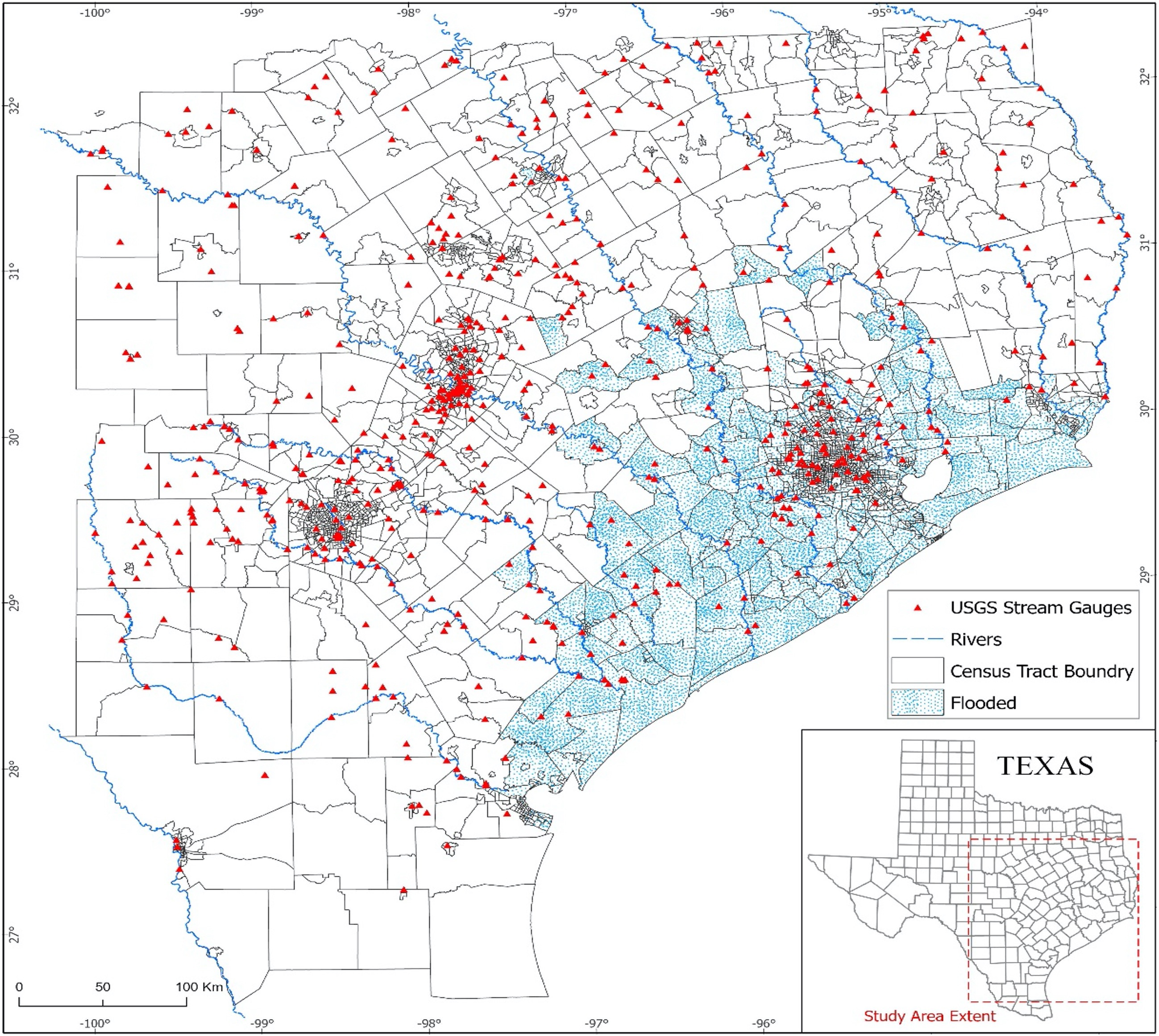
The team also compared these data to health outcomes in the greater Houston area from before and after Hurricane Harvey to model the effects of these environmental factors on health risks. Working with project partners at CDC and the Houston Health Department, the team will integrate results from their work onto the CDC’s website to help improve response time in neighborhoods most at risk and demonstrate the benefits of using Earth observation data for emergency management decisions from tornadoes to oil spills.
Enhancing Malaria Control Decision Making in Africa
On the other side of the globe, another project is incorporating expertise from Earth scientists with health practitioners in the field to help keep local communities healthy. John Beck, a research scientist with the University of Alabama in Huntsville, is also collaborating with the CDC to enhance malaria control decision making in sub-Saharan Africa with NASA Earth observations.
Beck’s team is working with health practitioners at the CDC to integrate environmental observations into a platform monitoring malaria risk and testing the platform for further expansion in the sub-Saharan region. Malaria is a fever-inducing illness caused by the Plasmodium parasite, transmitted by Anopheles mosquitoes. According to the World Health Organization, there were 229 million malaria cases and 409,000 deaths in 2019. To address global challenges like malaria, more than 60 countries, the CDC, and the European Union rely on a health management information system called District Health Information Software 2 (DHIS2) to provide vital health data and support disease-control decision making.
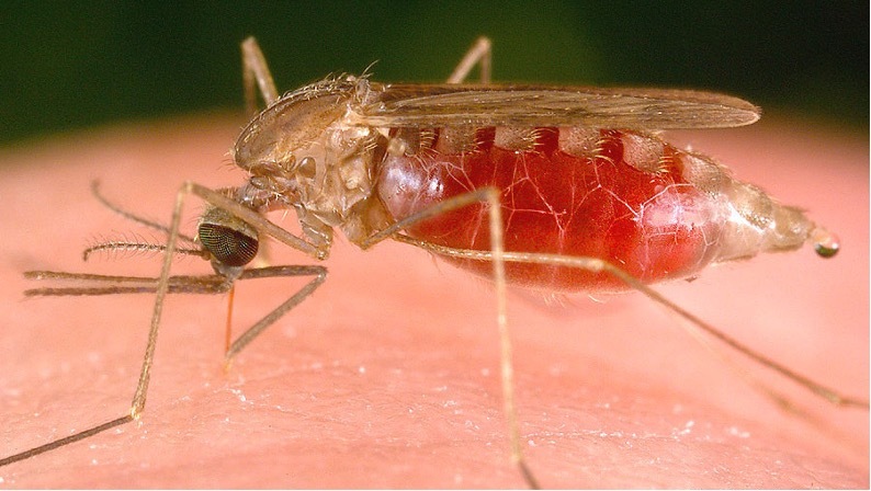
Beck’s team is coordinating with Ministry of Health officials from several African countries to incorporate vital information into the platform on environmental factors that can affect the spread of malaria. Satellite data, like local temperature and vegetation conditions from the MODIS instrument on board NASA’s Terra and Aqua satellites, can offer decision makers a better picture of where infected mosquitoes might be spreading the disease.
These two projects offer ways where NASA is working to incorporate the One Health concept in research applications, something that Health and Air Quality associate program manager and One Health lead Helena Chapman says is always a priority.
“NASA’s Health and Air Quality program area has always emphasized a holistic perspective on how the Earth’s systems affect health, which directly links with the One Health concept,” Chapman said. “Our team relies on the diversity of expertise found in academia, research, industry and government at all levels. These multidisciplinary collaborations offer a unique lens to better understand how our research can have a positive impact across health and ecology.”
On November 3, and all year-round, collaborations with scientists and community stakeholders are fundamental to advancing our understanding of how societal and environmental factors influence the health of local communities and ecosystems around the world.


