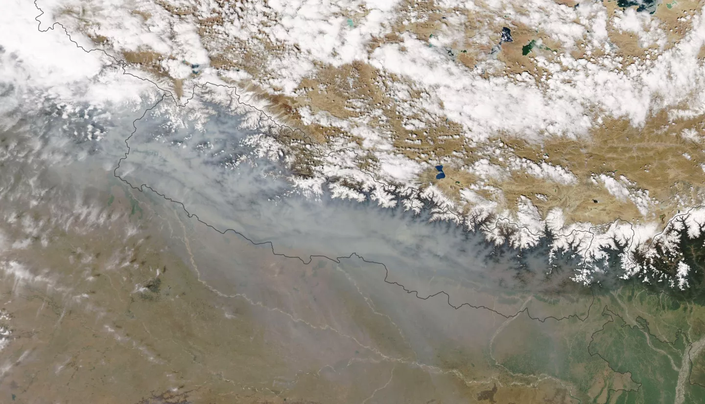
Air quality is a critical public health challenge across many regions of the globe. This challenge is particularly significant for Hindu Kush Himalaya (HKH), a high mountain region of South Asia, where the air quality frequently reaches unhealthy to hazardous levels. New NASA SERVIR Hindu Kush-Himalaya (HKH) Air Quality Explorer web and mobile tools developed through crowdsourcing aim to help public health and environmental managers monitor and forecast air quality for this region nicknamed “Earth’s third pole”.
Each year, the World Health Organization (WHO) estimates 7 million deaths occur globally due to air pollution exposure, with 2 million of these occurring across South and Southeast Asia. Enhanced emissions, agricultural burning, forest fires, and lack of seasonal rainfall accompanied by low winter temperatures and calm winds allow pollutants to accumulate in the air. In the Kathmandu Valley in Nepal, pollutants can get trapped by the surrounding mountains, resulting in severe smog episodes that not only impact human health, but also cause reduced visibility, negatively impacting the transportation sector. The harmful air quality levels in this region necessitate improved monitoring, advanced forecasting, and public awareness.
This crowdsourcing project aimed to build on the pioneering work of the SERVIR Mekong Air Quality Explorer, and to work with the International Centre for Integrated Mountain Development (ICIMOD) for the design of new SERVIR HKH Air Quality Explorer tools with improvements in the user interface and development of mobile accessibility.

The SERVIR HKH Air Quality Explorer Air Quality Monitoring Tool Builds On Successful SERVIR Mekong Air Quality Explorer
A joint initiative of NASA, USAID, and leading geospatial organizations in Asia, Africa, and Latin America, the Regional Visualization and Monitoring System (SERVIR) partners with countries and organizations to address critical challenges in climate change, food and water security, water-related disasters, land use, and air quality. Using satellite data and geospatial technology, SERVIR co-develops innovative solutions through a network of regional hubs to improve resilience and sustainable resource management at local, national and regional scales.
Launched in 2020, the SERVIR Mekong Air Quality Explorer web tool applies data from the Moderate Resolution Imaging Spectroradiometer (MODIS), Visible Infrared Imaging Radiometer Suite (VIIRS), and Goddard Earth Observing System (GEOS) Air Quality Forecasts to track and predict air quality in the Lower Mekong Region. This region includes countries such as Vietnam, Cambodia, Thailand, Myanmar, Laos, and China.
Introducing The New & Improved SERVIR HKH Air Quality Explorer Tool
The new SERVIR HKH Air Quality Explorer web tool prototype was designed to allow users to look at the air quality data for the past 7 days, the most current data, and even forecast data over the next 48 hours on a clear and intuitive dashboard. It was designed for researchers, scientists, and other expert users who need to be able to manipulate the data extensively for analysis and forecasting and can be used as a model for future implementation at other SERVIR regional centers.
A complementary mobile application has also been designed for the public, to allow accessibility by users in the field or without access to a computer. In addition to providing accessibility air quality data on the move, there are several exciting features to this new tool:
-
The app automatically updates data displayed on the opening screen based on a user’s location and the current date.
-
Users can change data layers with simple on/off toggle buttons and change dates with a slider function.
-
Users can bookmark locations they are interested in to easily access information they are interested in.
-
The tool supports both English and Nepalese languages.
The app’s “About” page describes its functions and features and provides more information about the pollutants and provided data. At the time of this publication, the mobile app is undergoing user feedback sessions, but is planned to be launched to the public soon.
Solutions Through Crowdsourcing
NASA’s SERVIR worked with contractor CrowdPlat on this crowdsourcing project with continuous collaboration with the SERVIR HKH team, including colleagues at ICIMOD (the International Centre for Integrated Mountain Development). This project highlights NASA’s capability in harnessing the power of the crowd outside our agency’s walls for the development of innovative, practical, and impactful solutions.
The NASA Tournament Lab, part of the Prizes, Challenges, and Crowdsourcing program in the Space Technology Mission Directorate, managed the challenge.
Get involved! Explore other NASA prize and challenge opportunities here.

