In Nepal, the combination of mountainous terrain and a monsoon climate means that severe weather can strike quickly. Effective disaster preparation requires high-quality forecasts, and the SERVIR program—a partnership of NASA and USAID—is helping partners in Nepal give communities that much needed early warning.

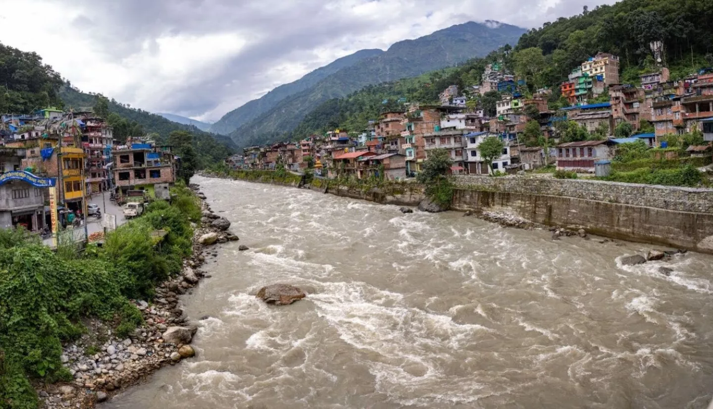
In mid-June, clouds herald the arrival of the monsoon rains in Nepal. The monsoon brings relief from air pollution and heat, but it also increases the risk of flooding, landslides, and lightning. In a country where 75% of the terrain is mountainous, rainfall is quickly channeled into streams, leading to intense and rapid flooding in remote, rural communities.

Accurate and relevant precipitation forecasts and streamflow data are critical to preventing catastrophes across the country. Satellite-derived streamflow and precipitation forecasts provided by SERVIR cover the entirety of Nepal, improving on previous methods dependent on a sparse network of in-situ measurements.

SERVIR is a joint initiative of NASA and USAID that works with partners in Asia, Africa, and Latin America to lower the barrier to using Earth observations for real-world applications. The SERVIR Hindu Kush-Himalaya regional program, based at the International Centre for Integrated Mountain Development (ICIMOD) in Nepal, works with communities to integrate Earth observations into tools that forecast floods, extreme weather, and other natural phenomena.

These tools include the High Impact Weather Assessment Toolkit (HIWAT), the Flash Flood Prediction Tool, and the Streamflow Prediction Tool. The toolkit  uses an ensemble of models and satellite data to predict extreme weather, including lightning, wind, and hail—all frequent hazards in Nepal. The Flash Flood Prediction Tool routes precipitation forecasts from the toolkit  into streams and rivers in Nepal, providing a 48-hour flash flood forecast. The Streamflow Prediction Tool provides forecasts with a longer lead time of 10 days by routing precipitation data from the European Centre for Medium-Range Weather Forecasts. Recently, the SERVIR Hindu Kush-Himalaya program, ICIMOD and the Nepal and Danish Red Cross created the PrakopAlert app, which provides accessible flood and extreme weather forecasts in both English and Nepali.

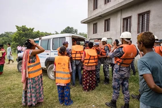
Because these disasters can happen so quickly, early warning systems and “anticipatory action,” such as cash aid and emergency supplies delivered in advance, are especially important for protecting communities. An example of successful anticipatory action occurred during the 2021 flood event on the Karnali River, when disaster response agencies like Nepal Red Cross Society consulted flood forecasts made using NASA and SERVIR data to proactively begin evacuations and distribute cash and supplies to over 300 families.
“Our anticipatory actions are usually trigger-based actions. When a certain level or threshold is reached, we act based on those weather forecasts or predictions,” said Saroj Thakur, a Nepal-based senior officer who works with the Finnish and Danish Red Cross Societies. “We prefer to monitor forecasts from global, regional, and national hydrometeorological services.”
A key component of anticipatory action is forecast-based financing, when cash is distributed prior to a forecasted disaster to lower the impact on vulnerable populations. This serves as a critical tool during the monsoon season, which causes flooding in Nepal almost every year—including significant floods last summer. SERVIR tools play an important role in contributing to these triggers.
“During the flooding last August, I monitored the data available via ICIMOD’s HIWAT and Streamflow Prediction Tool together with the National Centre for Medium-Range Weather Forecasting and the Department of Hydrology and Meteorology to determine whether to go with the activation phase [distributing cash aid],” said Laxmi Awasthi, a disaster risk reduction advisor for the Mercy Corps’ Managing Risk through Economic Development program. Awasthi works closely with communities and other disaster response agencies to decide when to distribute cash assistance. Awashti used SERVIR and ICIMOD data to ensure that 200 households would have had support in the event of severe flooding.
These tools also play a key role in filling spatial gaps. Stream gauges are often placed on the main stem of rivers, while many communities reside along unmonitored tributaries. Bibek Bella, a disaster coordinator at Human Development and Community Services (a non-governmental organization that works in community-led disaster management approaches, among other projects) explained the importance of this additional information:
“We are more focused on the main stream of the Marsyangdi [River], and we do not have resources to look into other streams. Since SERVIR already has information and tools developed, we can embed the stream information into our modeling work during the development of early warning systems at the community level. We could use tools like HIWAT and Flash Flood.”
With the monsoon season underway through August, ensuring that disaster management professionals have access to reliable data is paramount. SERVIR tools help complement existing data sources and provide much-needed information to anticipate flooding and extreme events in Nepal.


