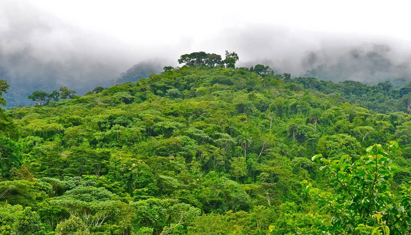
Using computer models and NASA satellite data, conservationists can now better predict where western chimpanzees live in the forests of Liberia. It is key information local officials can use to inform conservation decisions, in particular because several important corridors for chimpanzees overlap with existing timber and palm oil areas, as well as some mining and rubber farms.
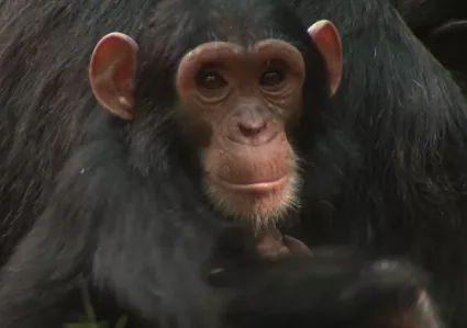
The work is published in the journal Diversity and Distributions with lead author Amy Frazier of Arizona State University and coauthors including Ecological Forecasting program area lead Keith Gaddis and Celio de Sousa of NASA Goddard. The International Union for Conservation of Nature recently reclassified western chimpanzees as “critically endangered” and the paper's authors say that surveying these and similar species of concern, as well as identifying protection priority areas, are critical first steps towards achieving Liberia's goal to conserve 30% of its remaining forests.

That goal is part of Liberia's participation in the Gaborone Declaration for Sustainability in Africa, a commitment by 18 African countries to factor natural resources and ecosystems into their economic planning. Part the effort is a project with Liberia's Environmental Protection Agency, NASA and the global non-profit Conservation International to pilot an innovative and replicable approach to more accurately map ecosystems to support effective planning and sustainable decision-making.
More about NASA’s work with Conservation International can be found at the NASA.gov story, Economics of Nature: Mapping Liberia’s Ecosystems to Understand their Value.


