Mosquitoes are sometimes hard to spot, even with the human eye. But NASA can help track these disease-spreading insects with satellite data. Earth observations help pinpoint environmental conditions where mosquito populations will thrive. And better forecasting could keep people safe from deadly diseases like malaria.
Mosquito Week is a yearly campaign by the non-profit American Mosquito Control Association. This year it is June 18-25. Here’s the latest on three mosquito-related projects supported by NASA’s Health and Air Quality program area:
Tracking Malaria in Africa
Sub-Saharan Africa is the geographical focus of John Beck’s work. A research scientist with the University of Alabama in Huntsville, Beck is collaborating with researchers at the Centers for Disease Control and Prevention (CDC) and the Health and Air Quality program area. Together, they’re working to stop the spread of malaria by tracking the habitats of the mosquitoes that carry the disease. These malaria-spreading mosquitoes are Anopheles mosquitoes and they like warm air and still waters.
Beck and his team compile information on surface temperatures, precipitation, and vegetation health. These data come from tools like the Moderate Resolution Imaging Spectroradiometer (MODIS) instrument on NASA’s Terra and Aqua satellites.
In a case study in Sierra Leone, Beck and his team included this habitat data into an already widely used online platform called District Health Information Software 2, or DHIS2. This Sub-Saharan African region has the highest number of malaria cases and deaths in the world, most of which occur among young children. Various health ministries in Africa now use DHIS2 data to combat the disease.
The Americas, Too
Anopheles mosquitoes are also found in the Americas, and many countries in the region have seen a resurgence in malaria. William Pan, an assistant professor of global environmental health at Duke University, has been working on ways to pinpoint emerging mosquito hotspots and predict future outbreaks in Central and South America.
Pan and his colleagues use NASA’s Land Data Assimilation System, or LDAS: a land-surface modeling effort that helps researchers guess surface conditions. LDAS can show, for example, where puddles are likely to form due to flooding.
Under a NASA grant, Pan and his colleagues developed a Malaria Early Warning System for Peru. It is capable of forecasting malaria outbreaks up to 12 weeks in advance. More recently, Pan has expanded his work to include Panama and Honduras. Their latest NASA-funded project is called Satellite Informed System to Eliminate Malaria in the Americas, or SISTEMA, that will expand this work to Panama and Honduras.
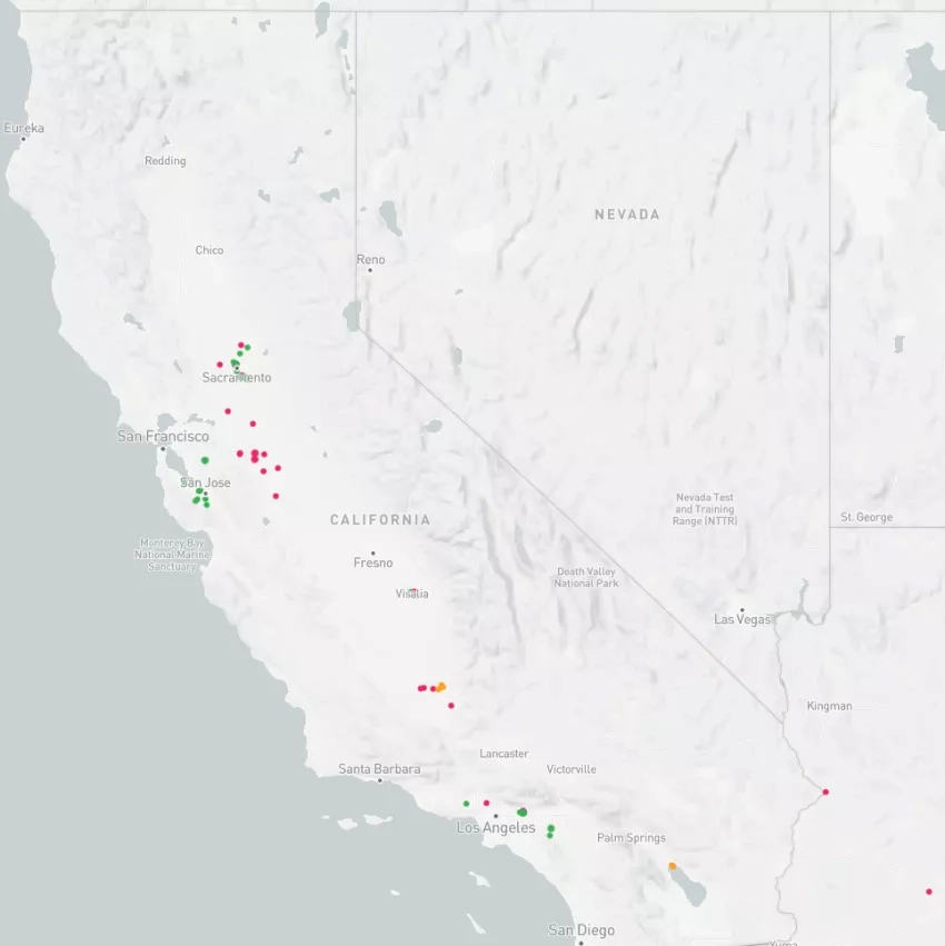
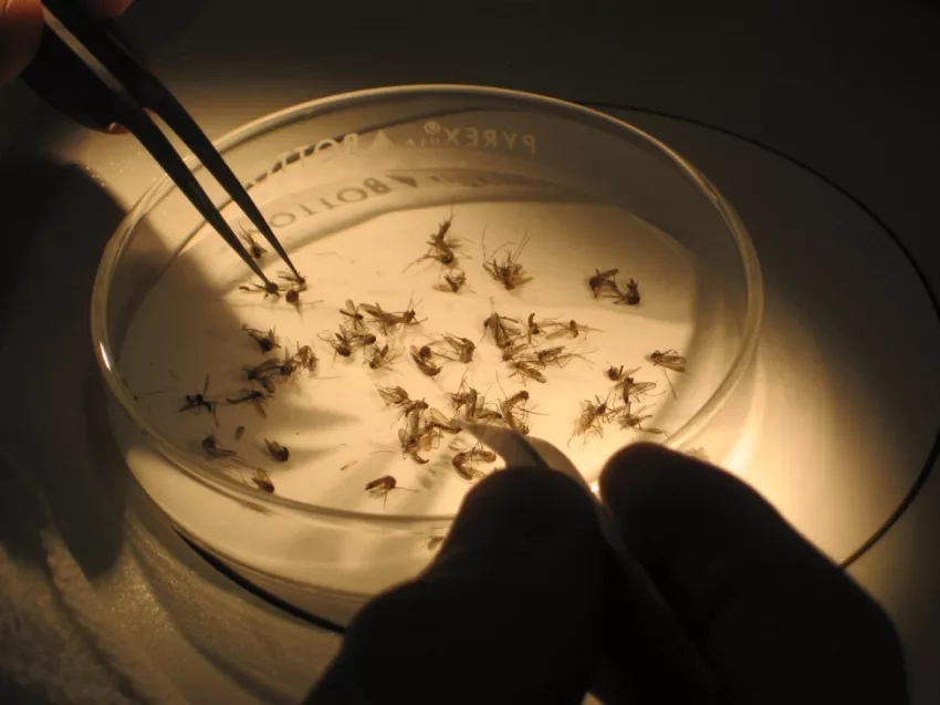
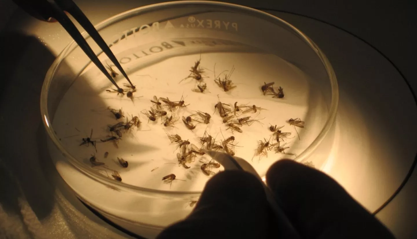
Combatting California’s Mosquitoes
Within the last two decades, invasive Aedes mosquitoes arrived in California. This trend has been worrying public health agencies. These species can carry diseases like Zika, dengue and yellow fever.
The California Vectorborne Disease Surveillance Gateway, or CalSurv Gateway, is a central repository for mosquito data. It launched in 2006 and draws on NASA data to show which communities are the most susceptible to potential outbreaks of mosquito-borne diseases. Now under the name VectorSurv, the platform expanded to include more than 10 states, including Hawaii, Arizona, and New Jersey.
Tracking mosquitoes has become even more crucial in the face of climate change. Though mosquito season in the United States peaks during summer, warming temperatures allow the insects to multiply beyond this season.