Published
UPDATE 9/19/18:
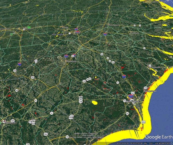
The MODIS Near Real-Time Global Flood Mapping Project produces global daily surface and flood water maps at approximately 250 m resolution, in 10x10 degree tiles.
This project was developed in collaboration with Bob Brakenridge at the Dartmouth Flood Observatory (DFO): http://floodobservatory.colorado.edu
UPDATE 9/18/18:
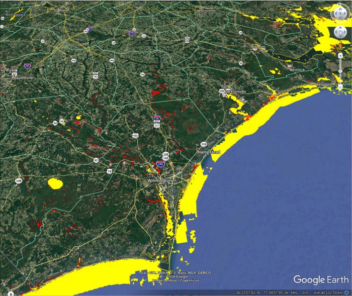
The MODIS Near Real-Time Global Flood Mapping Project produces global daily surface and flood water maps at approximately 250 m resolution, in 10x10 degree tiles.
This project was developed in collaboration with Bob Brakenridge at the Dartmouth Flood Observatory (DFO): http://floodobservatory.colorado.edu


