Published
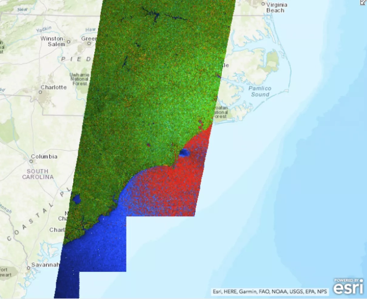
Mission description: Sentinel 1A/B is a two satellite synthetic aperture radar constellation operated by the European Space Agency. The backscattered microwave energy from the ground can be used to map flooded areas, and estimate wind speeds over the ocean. Both satellites have a 12-day repeat cycle, providing imagery at about 20m resolution every 6 days over the same area using both sensors.
Learn more about Sentinel: https://sentinel.esa.int/web/sentinel/missions/sentinel-1


