In Guatemala City, a new model of interagency coordination has been developed involving partners at multiple levels – globally through the use of NASA Earth observation data, regionally through the Coordination Center for Disaster Prevention in Central America and the Dominican Republic (CEPREDENAC), nationally through Coordination System for Disaster Reduction (CONRED), and locally through the municipality of Guatemala City using the Platform of Vulnerability and Emergency Management (AVE).
How Does It Work?
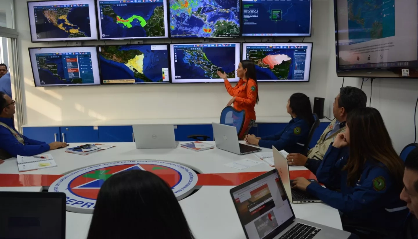
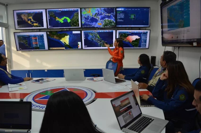
Through the NASA Disasters Mapping Portal, NASA hosts near real-time earth observation data that is accessible at the regional level for the CEPREDENAC and National Institute of Seismology, Volcanology, Meteorology and Hydrology (INSIVUMEH) organizations to utilize in their situational assessments. In the event of an impending or ongoing emergency in or around Guatemala City, the AVE’s general coordinator receives a notification from CEPREDENAC about the possible impact of that emergency for the city, and immediately convenes the AVE team. The AVE team analyzes the impacts that the event could have and informs the mayor of Guatemala City, who activates the AVE protocols. Through the "AVE City" application within AVE, city officials notify the citizens of Guatemala City of the event’s potential risk impact, allowing residents to prepare for the emergency.
When AVE is activated, it calls upon first responders such as firefighters and the Red Cross to assist in preparation and response. The activation alerts the CONRED delegate, who then can activate the national emergency operations center. AVE also alerts the mayors of the 22 municipalities of the area simultaneously to establish situational awareness across the regions at risk.
AVE also alerts local emergency coordinators who come together to monitor and respond to the situation. AVE informs neighbors to be alert and prepare custom-designed protocols for their community.
Ricardo Quiñónez Lemus, the Mayor of Guatemala City, remarked: "In Guatemala City, family and people matter. I want to recognize the collaborative work among the institutions in disaster prevention. Together we are more." The integration of NASA Earth observation data at the regional and local levels continues to have a positive impact on communities throughout the Americas.


