On September 9th, 2020, Bay Area residents woke up to darkness. Acrid smoke blocked out the morning sun. The sky, dense with ash, turned a deep orange hue.
This apocalyptic glow was caused by widespread fires. The weather in California is becoming hotter, drier and windier ‒ the perfect conditions for wildfires to thrive. Across the West, more than one million acres burned in October alone, making 2020’s wildfire season the worst in U.S. history.
NASA has sensors onboard aircraft and satellites that collect data used to monitor our changing climate, as well as how agricultural land, forests and cities change over time. In October, despite COVID-19 disrupting much of airborne science, NASA’s campaign to observe western U.S. ecosystems was given the go-ahead.
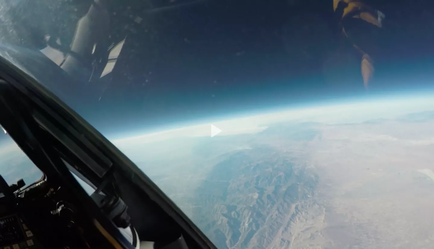
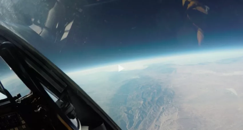
Instruments operated jointly by JPL and the Ames Airborne Sensor Facility (ASF) were loaded into a high-altitude ER-2 aircraft. MASTER is operated by ASF and the AVIRIS instrument is operated by JPL. “The ER-2 is essentially like a 100 ft wing with a cockpit sitting on the front of it,” says James Jacobson, senior manager for the ASF.
The ER-2 is a modified spy plane ‒ it reaches over 70,000 ft. The sensor systems, fitted into four pressurized compartments, can image Earth’s surface and take spectral imaging to detect chemical signatures. From such altitudes, the information obtained by this flying laboratory is similar to satellite data.
Back in October, the ER-2’s primary mission was to monitor land use but, as the aircraft flew over wildfires and copious smoke clouds, it caught the attention of the NASA Disasters Program. The Disasters team studies wildfires and burn scars using data from many sources ‒ and the ASF is a data gold mine.
Researchers from the NASA Disasters Program wanted this data for two reasons. First, MASTER’s infrared imaging allows researchers to look through the wildfire smoke. “The aerosol particles of the smoke don't absorb any light that MASTER is seeing in those [infrared] bands,” Jacobson says.
Secondly, MASTER can take images in what’s known as the ‘thermal infrared’ spectrum. This doesn’t just penetrate cloud cover it creates an accurate heat map as wildfires (which can exceed 2,000°F) emit substantial infrared radiation.
Jacobson says, “Not only can we see the terrain, but we can also see what parts of the terrain have been affected in terms of vegetation loss, and we can very, very clearly image the leading edge of the fire because it's the hottest thing there.”
Read the full story at www.nasa.gov: NASA's Airborne Sensor Facility MASTER wildfire monitoring


