Published
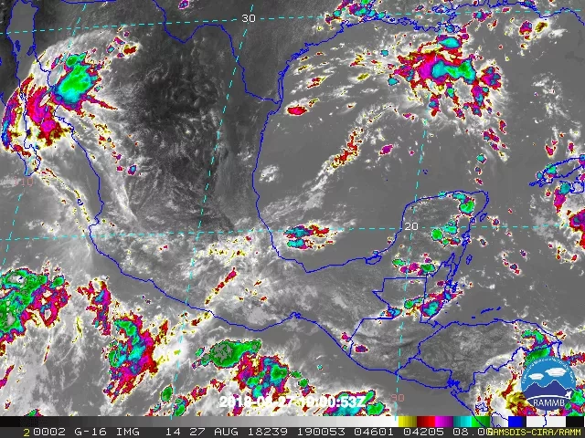
The RainCube (Radar in a CubeSat) uses experimental technology to see storms by detecting rain and snow with very small instruments. The people behind the miniature mission celebrated after RainCube sent back its first images of a storm over Mexico in a technology demonstration in August. Its second wave of images in September caught the first rainfall of Hurricane Florence. The small satellite is a prototype for a possible fleet of RainCubes that could one day help monitor severe storms, lead to improving the accuracy of weather forecasts and track climate change over time.
Read the full story at: https://www.jpl.nasa.gov/news/news.php?feature=7246


