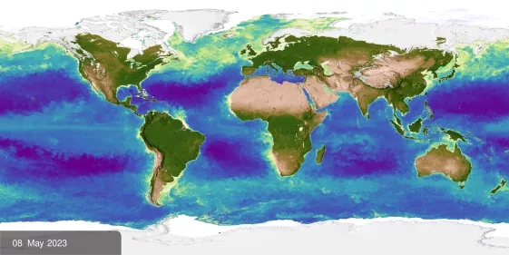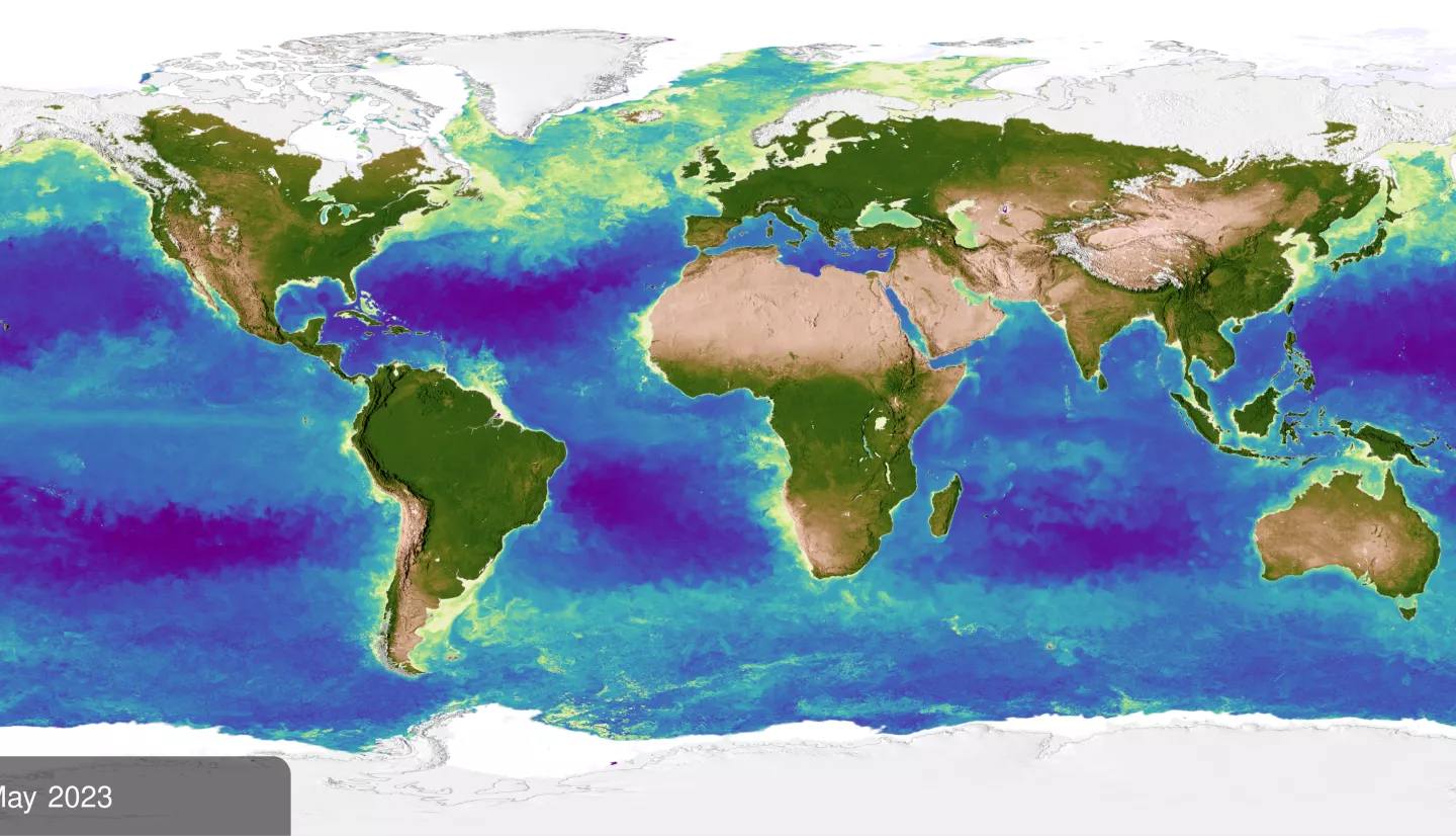
From a farmer deciding when to water their crops, to emergency response agencies sending resources after a natural disaster, NASA Earth observations help decision makers protect the planet and public health. Creating new ways to value and communicate these benefits is the goal of the new Collaborative Network for Valuing Earth Information (CONVEI).
The consortium includes NASA, the National Oceanic and Atmospheric Administration (NOAA), and the United States Geological Survey (USGS), and is led by the World Wildlife Fund (WWF). The $8.5 million effort will bring together perspectives from across disciplines – especially outside of Earth science – to draw from the expertise of individuals like educators, economists, humanitarians, and psychologists. The intent is to put this information into the hands of individuals, government agencies, and nonprofit organizations alike.
New Perspectives for New Ideas
“This collaboration is an opportunity to increase the ways Earth observations can serve science and society,” said Lawrence Friedl, director of NASA’s Earth Applied Sciences Program. “We’re bringing together a diversity of insight to develop new ways to measure and communicate the human, environmental, and economic benefits of incorporating Earth observations in decision making.”
NASA is contributing $6 million to the five-year effort. It will evaluate the impacts of Earth observations and develop new methods for understanding their potential value to society.
Examples include analyzing how the use of Earth observations can change perceptions, behaviors, and decisions and influence social and ecological outcomes. These conclusions will help NASA, NOAA, and USGS determine the success of their missions and shape future endeavors.
“Many scientists are trying to do actionable, high-impact science, but we don’t always have easy ways of measuring that impact,” said Dr. Rebecca Chaplin-Kramer, director of CONVEI with WWF. “Our goal for this network is to develop more diverse and accessible ways of understanding how science generates societal benefits.”
CONVEI-ing First Steps
To understand how Earth science information can best affect social change, CONVEI is building a community of practice.
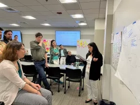
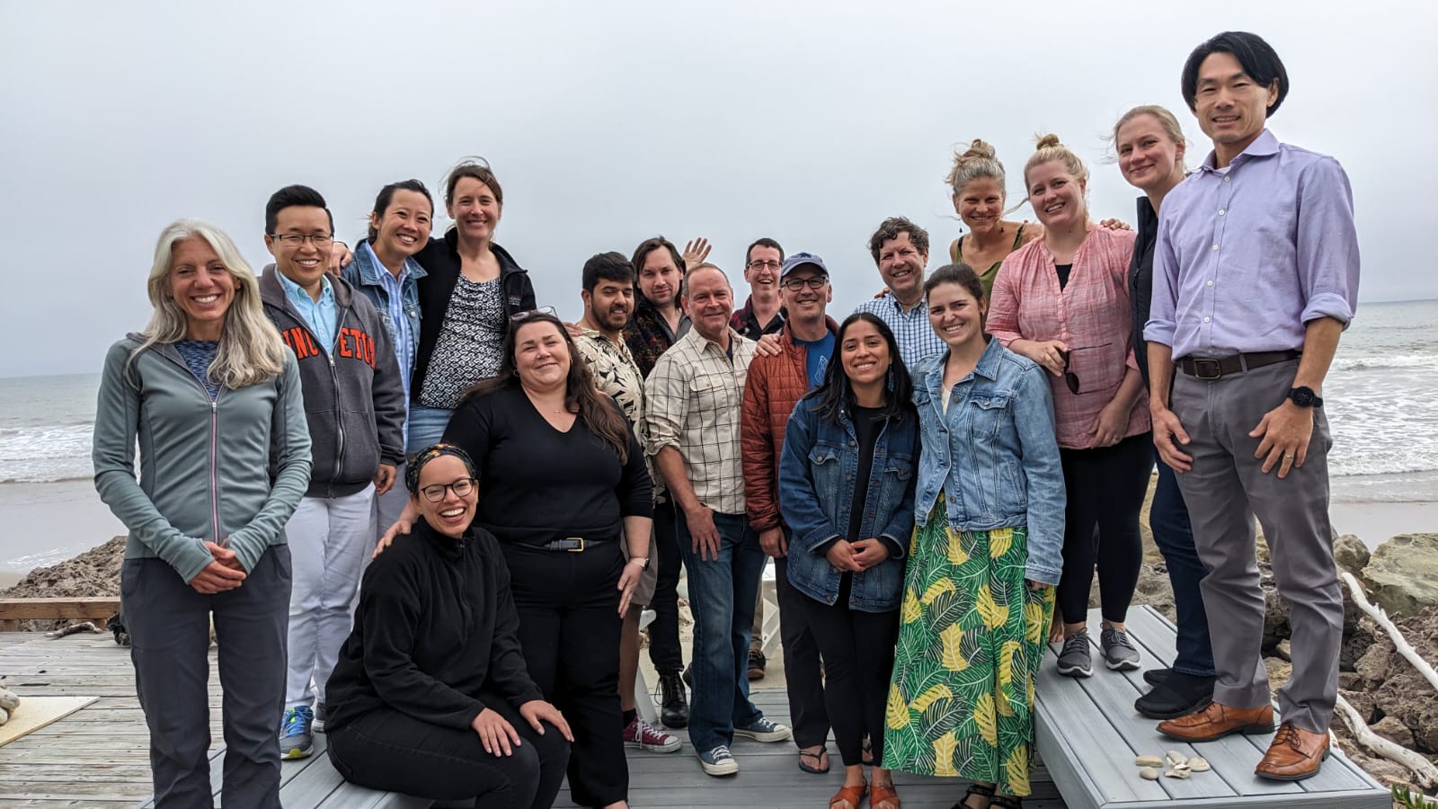
In May 2023, the network held its first working group to kick off implementation of research ideas and community input gathered throughout 2022. Shanna McClain is the socioeconomic assessments manager for the Applied Sciences Program.
“Decisions like where to build cities, which ecosystems require protection, what sustainable management looks like, and what this will mean to our health and economy are highly complex, which is why we’re looking to create new approaches to determine the value of Earth observations in decision making," McClain said. “At the workshop, we had an interdisciplinary blend of Earth system and social sciences brainstorming together – psychologists, economists, ecologists, social justice, and indigenous interests.”
All scientists and practitioners that produce or use information based on Earth observation data, or are interested in learning more about how it could be used, are invited to join CONVEI. To find out more about the network or to contribute examples from your own work that may be selected for network support, visit the CONVEI website.